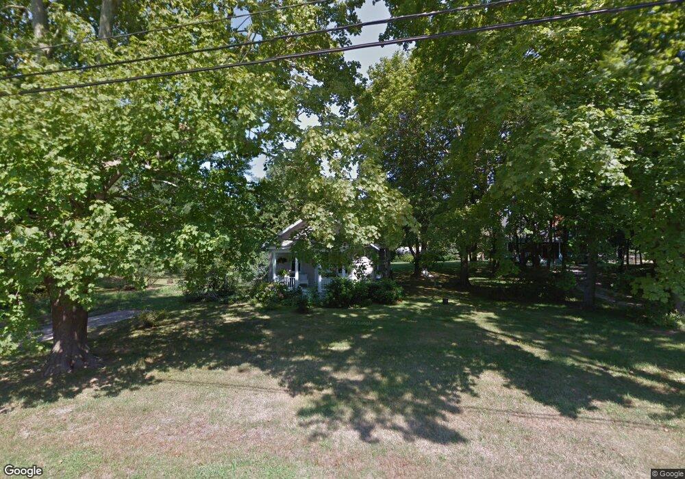
12 N Cartwright Rd Shelter Island, NY 11964
Estimated Value: $718,178 - $1,526,000
2
Beds
1
Bath
--
Sq Ft
0.53
Acres
About This Home
This home is located at 12 N Cartwright Rd, Shelter Island, NY 11964 and is currently estimated at $1,122,089. 12 N Cartwright Rd is a home with nearby schools including Shelter Island School.
Ownership History
Date
Name
Owned For
Owner Type
Purchase Details
Closed on
Mar 29, 2024
Sold by
Marshall Audrey D Est and Wather
Bought by
Smith Benjamin and Smith Callie
Current Estimated Value
Home Financials for this Owner
Home Financials are based on the most recent Mortgage that was taken out on this home.
Original Mortgage
$657,373
Outstanding Balance
$645,770
Interest Rate
5.99%
Mortgage Type
FHA
Estimated Equity
$476,319
Purchase Details
Closed on
Sep 18, 2009
Sold by
Marshall Audrey D and Marshall Audrey R
Bought by
Marshall Audrey R
Create a Home Valuation Report for This Property
The Home Valuation Report is an in-depth analysis detailing your home's value as well as a comparison with similar homes in the area
Home Values in the Area
Average Home Value in this Area
Purchase History
| Date | Buyer | Sale Price | Title Company |
|---|---|---|---|
| Smith Benjamin | $669,500 | Stewart Title | |
| Smith Benjamin | $669,500 | Stewart Title | |
| Marshall Audrey R | -- | -- | |
| Marshall Audrey R | -- | -- |
Source: Public Records
Mortgage History
| Date | Status | Borrower | Loan Amount |
|---|---|---|---|
| Open | Smith Benjamin | $657,373 | |
| Closed | Smith Benjamin | $657,373 |
Source: Public Records
Tax History Compared to Growth
Tax History
| Year | Tax Paid | Tax Assessment Tax Assessment Total Assessment is a certain percentage of the fair market value that is determined by local assessors to be the total taxable value of land and additions on the property. | Land | Improvement |
|---|---|---|---|---|
| 2024 | $317 | $317,000 | $221,000 | $96,000 |
| 2023 | $317 | $317,000 | $221,000 | $96,000 |
| 2022 | $622 | $317,000 | $221,000 | $96,000 |
| 2021 | $598 | $317,000 | $221,000 | $96,000 |
| 2020 | $580 | $315,000 | $221,000 | $94,000 |
| 2019 | $580 | $0 | $0 | $0 |
| 2018 | $530 | $313,000 | $270,000 | $43,000 |
| 2017 | $530 | $303,000 | $188,100 | $114,900 |
| 2016 | $509 | $297,000 | $188,100 | $108,900 |
| 2015 | -- | $287,000 | $179,100 | $107,900 |
| 2014 | -- | $284,000 | $179,100 | $104,900 |
Source: Public Records
Map
Nearby Homes
- 3a/3b Pandion Rd Unit 3a/3b
- 64 N Cartwright Rd
- 47B S Ferry Rd
- 4 Duvall Rd
- 47L S Ferry Rd
- 10 Strawberry Ln
- 10 Sunshine Rd Unit B
- 33B S Midway Rd
- 21 Thompson Rd
- 8 Cove Way
- 52 S Midway Rd
- 9 & 7 Westmoreland Dr
- 15A / 15 & 13 S Menantic Rd
- 115 S Ferry Rd
- 139 A N Ferry Rd
- 1 Gazon Rd
- 100 S Ferry Rd
- 5 N Menantic Rd
- 7 Gazon Rd
- 26 S Menantic Rd
- 16 N Cartwright Rd
- 8 N Cartwright Rd
- 18 N Cartwright Rd
- 6 N Cartwright Rd
- 13 N Cartwright Rd
- 14-A N Cartwright Rd
- 7 S Cartwright Rd
- 7 N Cartwright Rd
- 86 N Cartwright Rd
- 73 N Cartwright Rd
- 12 Emerson Ln
- 17 N Cartwright Rd
- 35 Congdon Rd
- 22 N Cartwright Rd
- 33 Congdon Rd
- 11 Emerson Ln
- 14C N Cartwright Rd
- 9 Emerson Ln
- 31 Congdon Rd
- 39 Congdon Rd