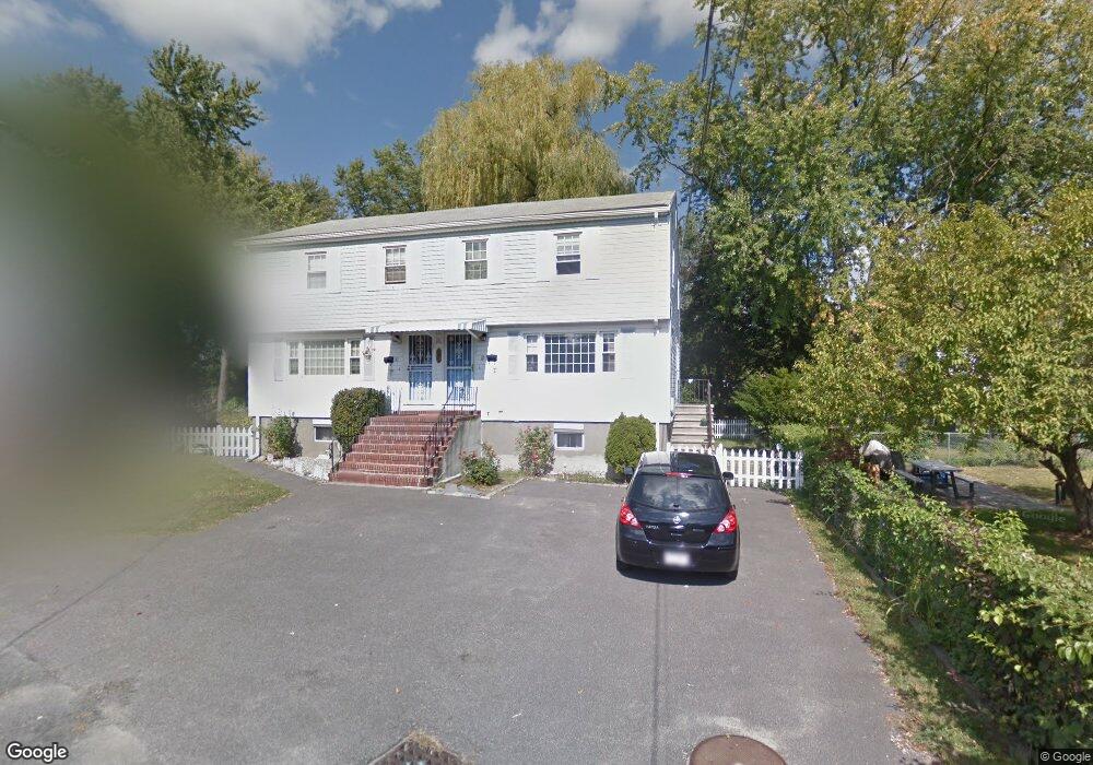
12 Norcross Cir Unit a Arlington, MA 02474
East Arlington NeighborhoodEstimated Value: $1,285,000 - $1,603,000
3
Beds
2
Baths
1,700
Sq Ft
$835/Sq Ft
Est. Value
About This Home
This home is located at 12 Norcross Cir Unit a, Arlington, MA 02474 and is currently estimated at $1,419,178, approximately $834 per square foot. 12 Norcross Cir Unit a is a home located in Middlesex County with nearby schools including Thompson School, Ottoson Middle School, and Arlington High School.
Ownership History
Date
Name
Owned For
Owner Type
Purchase Details
Closed on
Apr 23, 2021
Sold by
Emerson Mary I
Bought by
Mary I Emerson Irt
Current Estimated Value
Purchase Details
Closed on
Feb 3, 2017
Sold by
Emerson Richard J and Emerson Mary I
Bought by
Emerson Mary I
Purchase Details
Closed on
Oct 3, 1973
Bought by
Emerson Richard J and Emerson Mary I
Create a Home Valuation Report for This Property
The Home Valuation Report is an in-depth analysis detailing your home's value as well as a comparison with similar homes in the area
Home Values in the Area
Average Home Value in this Area
Purchase History
| Date | Buyer | Sale Price | Title Company |
|---|---|---|---|
| Mary I Emerson Irt | -- | None Available | |
| Emerson Mary I | -- | -- | |
| Emerson Richard J | $12,000 | -- |
Source: Public Records
Mortgage History
| Date | Status | Borrower | Loan Amount |
|---|---|---|---|
| Previous Owner | Emerson Richard J | $166,680 | |
| Previous Owner | Emerson Richard J | $181,500 | |
| Previous Owner | Emerson Richard J | $160,000 |
Source: Public Records
Tax History Compared to Growth
Tax History
| Year | Tax Paid | Tax Assessment Tax Assessment Total Assessment is a certain percentage of the fair market value that is determined by local assessors to be the total taxable value of land and additions on the property. | Land | Improvement |
|---|---|---|---|---|
| 2025 | $12,768 | $1,185,500 | $578,500 | $607,000 |
| 2024 | $11,788 | $1,113,100 | $549,600 | $563,500 |
| 2023 | $12,296 | $1,096,900 | $491,800 | $605,100 |
| 2022 | $12,134 | $1,062,500 | $462,800 | $599,700 |
| 2021 | $11,740 | $1,035,300 | $462,800 | $572,500 |
| 2020 | $11,449 | $1,035,200 | $462,800 | $572,400 |
| 2019 | $9,515 | $845,000 | $419,400 | $425,600 |
| 2018 | $38,912 | $823,300 | $397,700 | $425,600 |
| 2017 | $9,375 | $746,400 | $347,100 | $399,300 |
| 2016 | $8,906 | $695,800 | $296,500 | $399,300 |
| 2015 | $8,547 | $630,800 | $274,800 | $356,000 |
Source: Public Records
Map
Nearby Homes
- 2 Norcross Cir Unit 4
- 80 Broadway Unit 4C
- 80 Broadway Unit PH
- 65 Marathon St Unit L
- 63 Marathon St Unit R
- 6 Gordon Rd
- 54 Marathon St Unit 1
- 78 Everett St
- 327 Alewife Brook Pkwy Unit A
- 62-64 Waldo Rd
- 69 Sterling St
- 79 Fairfax St Unit 79
- 94 Rawson Rd Unit 94
- 215 Massachusetts Ave Unit 19 (34)
- 48-50 Amsden St
- 48-50 Amsden St Unit 50
- 48-50 Amsden St Unit 48
- 21 High St
- 16 High St Unit 2
- 395 Alewife Brook Pkwy Unit PH E
- 10 Norcross Cir Unit 12
- 10-12-12 Norcross Cir
- 12 Norcross Cir
- 12 Norcross Cir Unit 12
- 12 Norcross Cir Unit 1
- 68 Norcross Cir
- 10 Granton Park
- 14 Granton Park
- 24 Norcross Cir
- 2 Norcross Cir
- 18 Granton Park
- 45 Norcross St Unit B
- 45 Norcross St Unit A
- 47 Norcross St Unit B
- 6 Granton Park
- 15 Fremont St
- 2 Granton Park
- 6-8 Norcross Cir
- 11 Fremont St
- 49 Norcross St