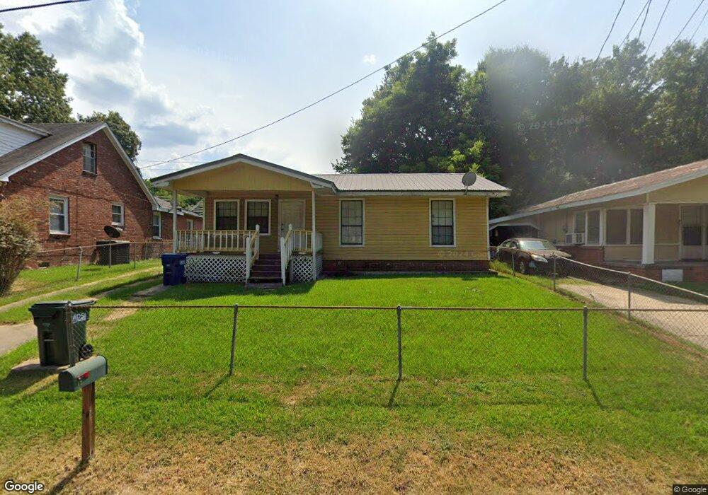
12 Oscar Ave Natchez, MS 39120
Estimated Value: $80,000 - $98,044
Studio
--
Bath
1,292
Sq Ft
$70/Sq Ft
Est. Value
About This Home
This home is located at 12 Oscar Ave, Natchez, MS 39120 and is currently estimated at $90,681, approximately $70 per square foot. 12 Oscar Ave is a home located in Adams County with nearby schools including Susie B. West Primary School, McLaurin Elementary School, and Joseph L. Frazier Primary School.
Ownership History
Date
Name
Owned For
Owner Type
Purchase Details
Closed on
Jan 11, 2016
Sold by
Cms And G Llc
Bought by
Bacon Alvin L
Current Estimated Value
Purchase Details
Closed on
Aug 24, 2015
Sold by
Pernell Robert
Bought by
Pernell Robert B and The Robert Pernell Revocable Trust
Purchase Details
Closed on
Aug 11, 2014
Sold by
Mcgehee Joe H
Bought by
Mcgehee Martina
Purchase Details
Closed on
Apr 7, 2014
Sold by
Gail W Gail W and Wellborn John D
Bought by
Renfrow Tunya
Purchase Details
Closed on
Jun 1, 2012
Sold by
Franks Connie and Washington Connie
Bought by
Franks Connie and Washington Connie
Purchase Details
Closed on
Feb 3, 2012
Sold by
Dutch Properties Llc
Bought by
Franks Connie and Washington Connie
Create a Home Valuation Report for This Property
The Home Valuation Report is an in-depth analysis detailing your home's value as well as a comparison with similar homes in the area
Purchase History
| Date | Buyer | Sale Price | Title Company |
|---|---|---|---|
| Bacon Alvin L | -- | -- | |
| Pernell Robert B | -- | -- | |
| Mcgehee Martina | -- | -- | |
| Renfrow Tunya | -- | -- | |
| Franks Connie | -- | -- | |
| Franks Connie | -- | -- |
Source: Public Records
Tax History
| Year | Tax Paid | Tax Assessment Tax Assessment Total Assessment is a certain percentage of the fair market value that is determined by local assessors to be the total taxable value of land and additions on the property. | Land | Improvement |
|---|---|---|---|---|
| 2024 | $936 | $4,527 | $0 | $0 |
| 2023 | $756 | $3,018 | $300 | $2,718 |
| 2022 | $714 | $4,527 | $0 | $0 |
| 2021 | $711 | $4,527 | $0 | $0 |
| 2019 | $690 | $4,314 | $0 | $0 |
| 2018 | $684 | $4,314 | $0 | $0 |
| 2017 | $691 | $4,314 | $0 | $0 |
| 2016 | $645 | $4,092 | $0 | $0 |
| 2015 | $637 | $4,092 | $0 | $0 |
| 2014 | $617 | $3,957 | $0 | $0 |
Source: Public Records
Map
Nearby Homes
- 657 S Canal St
- 279 John R Junkin Dr
- 503 S Canal St
- 414 S Union St
- 0 John R Junkin Dr
- 00 John R Junkin Dr
- 404 S Commerce St
- 406 Orleans St
- 828 S Doctor Martin Luther King St
- 26 Homochitto St
- 306 S Rankin St
- 35 Homochitto St Unit 35 1/2
- 207 S Wall St
- 207 S Commerce St
- 621 Washington St
- 705 Washington St
- 304 Lambert St
- 206 S Dr Ml King Jr St
- 206 S Dr Ml King St St
- 612 State St
Your Personal Tour Guide
Ask me questions while you tour the home.