12 Palomino Ln Unit 1 Oswego, IL 60543
South Oswego NeighborhoodEstimated Value: $525,000 - $639,000
--
Bed
--
Bath
2,978
Sq Ft
$196/Sq Ft
Est. Value
About This Home
This home is located at 12 Palomino Ln Unit 1, Oswego, IL 60543 and is currently estimated at $584,508, approximately $196 per square foot. 12 Palomino Ln Unit 1 is a home located in Kendall County with nearby schools including Grande Park Elementary School, Murphy Junior High School, and Oswego East High School.
Ownership History
Date
Name
Owned For
Owner Type
Purchase Details
Closed on
Jun 30, 1997
Sold by
Sanders Jacqueline
Bought by
Mcgrouary Patrick S and Mcgrouary Patricia A
Current Estimated Value
Home Financials for this Owner
Home Financials are based on the most recent Mortgage that was taken out on this home.
Original Mortgage
$243,900
Outstanding Balance
$34,549
Interest Rate
7.37%
Estimated Equity
$549,959
Create a Home Valuation Report for This Property
The Home Valuation Report is an in-depth analysis detailing your home's value as well as a comparison with similar homes in the area
Home Values in the Area
Average Home Value in this Area
Purchase History
| Date | Buyer | Sale Price | Title Company |
|---|---|---|---|
| Mcgrouary Patrick S | $189,000 | First American Title Ins Co |
Source: Public Records
Mortgage History
| Date | Status | Borrower | Loan Amount |
|---|---|---|---|
| Open | Mcgrouary Patrick S | $243,900 |
Source: Public Records
Tax History Compared to Growth
Tax History
| Year | Tax Paid | Tax Assessment Tax Assessment Total Assessment is a certain percentage of the fair market value that is determined by local assessors to be the total taxable value of land and additions on the property. | Land | Improvement |
|---|---|---|---|---|
| 2024 | $11,947 | $156,928 | $38,969 | $117,959 |
| 2023 | $10,796 | $136,459 | $33,886 | $102,573 |
| 2022 | $10,796 | $127,532 | $31,669 | $95,863 |
| 2021 | $10,421 | $119,189 | $29,597 | $89,592 |
| 2020 | $10,201 | $115,718 | $28,735 | $86,983 |
| 2019 | $9,864 | $110,409 | $28,735 | $81,674 |
| 2018 | $10,135 | $109,794 | $28,575 | $81,219 |
| 2017 | $10,054 | $105,571 | $27,476 | $78,095 |
| 2016 | $9,639 | $100,068 | $26,044 | $74,024 |
| 2015 | $9,411 | $93,521 | $24,340 | $69,181 |
| 2014 | -- | $89,924 | $23,404 | $66,520 |
| 2013 | -- | $90,832 | $23,640 | $67,192 |
Source: Public Records
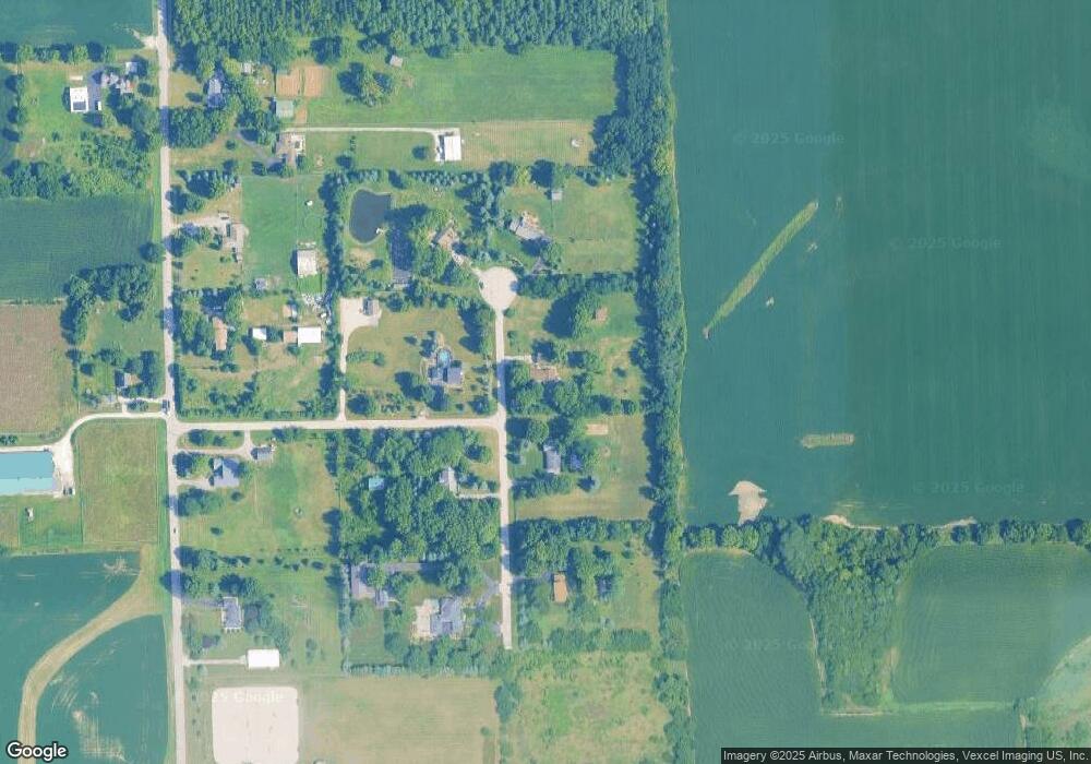
Map
Nearby Homes
- 2493 Semillon St
- Ontario Plan at Hudson Pointe - II - Landmark Series
- Galveston Plan at Hudson Pointe - II - Landmark Series
- Raleigh Plan at Hudson Pointe - II - Landmark Series
- Siena II Plan at Hudson Pointe - II - Landmark Series
- Brooklyn Plan at Hudson Pointe - II - Landmark Series
- Ridgefield Plan at Hudson Pointe - II - Landmark Series
- Westbury Plan at Hudson Pointe - II - Landmark Series
- 2485 Semillon St
- 2481 Semillon St
- 2413 Sonoma Trails Dr
- 2411 Sonoma Trails Dr
- 2482 Semillon St
- 2477 Semillon St
- 2473 Semillon St
- 2469 Semillon St
- 2403 Sonoma Trails Dr
- 2405 Sonoma Trails Dr
- 2407 Sonoma Trails Dr
- 2409 Sonoma Trails Dr