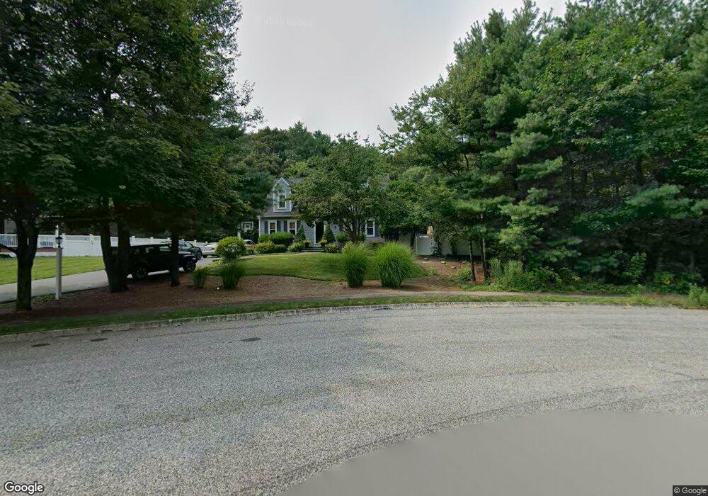
12 Pheasant Hollow Dr Mansfield, MA 02048
Estimated Value: $657,000 - $850,000
3
Beds
3
Baths
2,182
Sq Ft
$350/Sq Ft
Est. Value
About This Home
This home is located at 12 Pheasant Hollow Dr, Mansfield, MA 02048 and is currently estimated at $763,236, approximately $349 per square foot. 12 Pheasant Hollow Dr is a home located in Bristol County with nearby schools including Everett W. Robinson Elementary School, Jordan/Jackson Elementary School, and Harold L. Qualters Middle School.
Ownership History
Date
Name
Owned For
Owner Type
Purchase Details
Closed on
Jul 2, 1993
Sold by
Harrington & Matto Co
Bought by
Chiocco Steven and Chicco Carolyn
Current Estimated Value
Create a Home Valuation Report for This Property
The Home Valuation Report is an in-depth analysis detailing your home's value as well as a comparison with similar homes in the area
Home Values in the Area
Average Home Value in this Area
Purchase History
| Date | Buyer | Sale Price | Title Company |
|---|---|---|---|
| Chiocco Steven | $148,798 | -- |
Source: Public Records
Mortgage History
| Date | Status | Borrower | Loan Amount |
|---|---|---|---|
| Open | Chiocco Steven | $202,000 | |
| Closed | Chiocco Steven | $80,000 | |
| Closed | Chiocco Steven | $80,000 |
Source: Public Records
Tax History Compared to Growth
Tax History
| Year | Tax Paid | Tax Assessment Tax Assessment Total Assessment is a certain percentage of the fair market value that is determined by local assessors to be the total taxable value of land and additions on the property. | Land | Improvement |
|---|---|---|---|---|
| 2025 | $8,138 | $617,900 | $286,900 | $331,000 |
| 2024 | $8,365 | $619,600 | $299,400 | $320,200 |
| 2023 | $8,299 | $589,000 | $299,400 | $289,600 |
| 2022 | $8,020 | $528,700 | $277,200 | $251,500 |
| 2021 | $7,543 | $491,100 | $231,000 | $260,100 |
| 2020 | $7,239 | $471,300 | $231,000 | $240,300 |
| 2019 | $6,659 | $437,500 | $192,400 | $245,100 |
| 2018 | $6,572 | $422,100 | $183,600 | $238,500 |
| 2017 | $5,928 | $394,700 | $178,400 | $216,300 |
| 2016 | $5,677 | $368,400 | $169,800 | $198,600 |
| 2015 | $5,642 | $364,000 | $169,800 | $194,200 |
Source: Public Records
Map
Nearby Homes
- 176 Elm St
- 4 Buckskin Dr
- 150 Gilbert St
- 2 Oak St Unit 2D
- 2 Oak St Unit 2A
- 2 Oak St Unit 2C
- 2 Oak St Unit 2B
- 451R Gilbert St
- 37 Oakleaf Dr
- 255 Mckeon Dr
- 24 Maverick Dr
- 250 Mansfield Ave Unit 66
- 14 Country Club Way
- 231 Spring St
- 196 Donald Tennant Cir
- 450 West St
- 15 Reservoir St Unit 44
- 115 Westfield Dr
- 11 Landry Ave
- 11 Buckthorn Ln
- 7 Pheasant Hollow Dr
- 8 Pheasant Hollow Dr
- 4 Pheasant Hollow Dr
- 110 Balcom St
- 64 Balcom St
- 14 Claire Ave
- 54 Balcom St
- 18 Claire Ave
- 2 Pheasant Hollow Dr
- 10 Claire Ave
- 94 Balcom St
- 22 Claire Ave
- 3 Pheasant Hollow Dr
- 63 Balcom St
- 6 Claire Ave
- 57 Otis St
- 57 Otis St Unit 1
- 91 Otis St
- 51 Balcom St
- 2 S White Pine Ln