12 Pullman Dr Unit 12 Hollis, NH 03049
West Hollis NeighborhoodEstimated Value: $498,000 - $510,000
2
Beds
3
Baths
2,008
Sq Ft
$251/Sq Ft
Est. Value
About This Home
This home is located at 12 Pullman Dr Unit 12, Hollis, NH 03049 and is currently estimated at $503,212, approximately $250 per square foot. 12 Pullman Dr Unit 12 is a home located in Hillsborough County with nearby schools including Hollis Primary School, Hollis Upper Elementary School, and Hollis-Brookline Middle School.
Ownership History
Date
Name
Owned For
Owner Type
Purchase Details
Closed on
Dec 16, 2016
Sold by
Moerloos Linda G
Bought by
Ash Stephen P
Current Estimated Value
Purchase Details
Closed on
Aug 11, 2014
Sold by
Gibbons Austin M and Gibbons Harriet M
Bought by
Ash Paul E and Ash Laurel A
Purchase Details
Closed on
Mar 23, 2011
Sold by
Worth Robert J and Worth Phyllis J
Bought by
Gibbons Austin M and Gibbons Harriet M
Create a Home Valuation Report for This Property
The Home Valuation Report is an in-depth analysis detailing your home's value as well as a comparison with similar homes in the area
Home Values in the Area
Average Home Value in this Area
Purchase History
| Date | Buyer | Sale Price | Title Company |
|---|---|---|---|
| Ash Stephen P | -- | -- | |
| Ash Paul E | $250,000 | -- | |
| Gibbons Austin M | $247,900 | -- |
Source: Public Records
Mortgage History
| Date | Status | Borrower | Loan Amount |
|---|---|---|---|
| Previous Owner | Gibbons Austin M | $68,010 |
Source: Public Records
Tax History Compared to Growth
Tax History
| Year | Tax Paid | Tax Assessment Tax Assessment Total Assessment is a certain percentage of the fair market value that is determined by local assessors to be the total taxable value of land and additions on the property. | Land | Improvement |
|---|---|---|---|---|
| 2024 | $7,819 | $441,000 | $0 | $441,000 |
| 2023 | $7,347 | $441,000 | $0 | $441,000 |
| 2022 | $9,953 | $441,000 | $0 | $441,000 |
| 2021 | $6,047 | $266,400 | $0 | $266,400 |
| 2020 | $6,175 | $266,400 | $0 | $266,400 |
| 2019 | $6,154 | $266,400 | $0 | $266,400 |
| 2018 | $5,773 | $266,400 | $0 | $266,400 |
| 2017 | $5,153 | $222,600 | $0 | $222,600 |
| 2016 | $5,216 | $222,600 | $0 | $222,600 |
| 2015 | $5,124 | $222,600 | $0 | $222,600 |
| 2014 | $5,149 | $222,600 | $0 | $222,600 |
| 2013 | $5,080 | $222,600 | $0 | $222,600 |
Source: Public Records
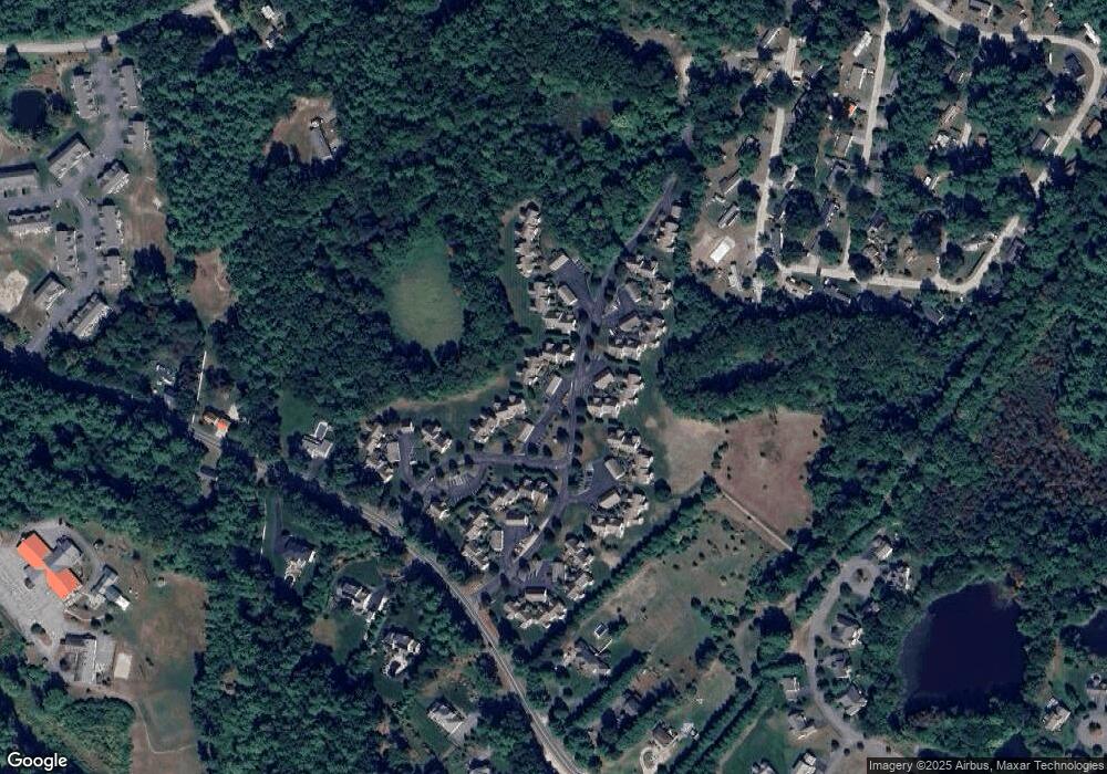
Map
Nearby Homes
- 18 Rail Way
- 49 Rail Way Unit 49
- 2 Cross Rd
- 1 Rail Way
- 33 Rail Way
- 16 Rail Way
- 19 Rail Way Unit 19
- 12 Cross Rd
- 57 Rail Way Unit 32B
- 2 Pullman Dr
- 29 Rail Way
- 57 Rail Way Unit 57
- 6 Cross Rd Unit 6
- 6 Cross Rd Unit C
- 1 Rail Way Unit 1
- 1 Rail Way Unit H
- 57 Rail Way
- 19 Rail Way
- 6 Cross Rd
- 29 Rail Way Unit 29