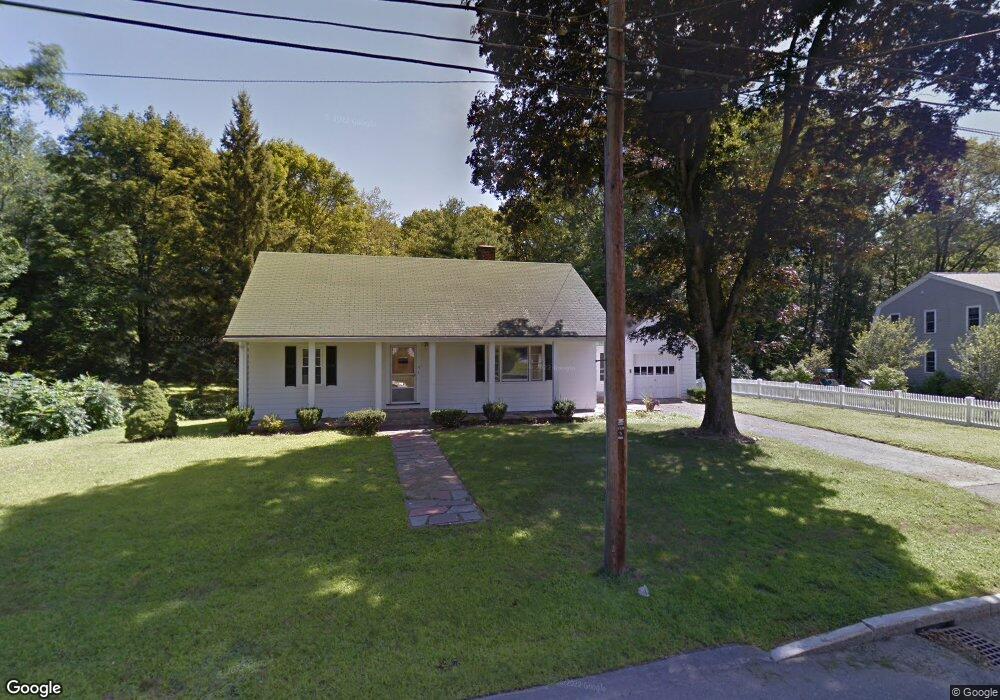
12 Rangeway Lexington, MA 02420
North Lexington NeighborhoodEstimated Value: $971,000 - $1,328,404
2
Beds
2
Baths
1,116
Sq Ft
$1,025/Sq Ft
Est. Value
About This Home
This home is located at 12 Rangeway, Lexington, MA 02420 and is currently estimated at $1,144,101, approximately $1,025 per square foot. 12 Rangeway is a home located in Middlesex County with nearby schools including Joseph Estabrook Elementary School, William Diamond Middle School, and Lexington High School.
Ownership History
Date
Name
Owned For
Owner Type
Purchase Details
Closed on
Jan 22, 2026
Sold by
Fisher Nt and Griecci
Bought by
10-12 Rangeway Rd Llc
Current Estimated Value
Home Financials for this Owner
Home Financials are based on the most recent Mortgage that was taken out on this home.
Original Mortgage
$836,128
Outstanding Balance
$836,128
Interest Rate
6.18%
Mortgage Type
Unknown
Estimated Equity
$307,973
Create a Home Valuation Report for This Property
The Home Valuation Report is an in-depth analysis detailing your home's value as well as a comparison with similar homes in the area
Home Values in the Area
Average Home Value in this Area
Purchase History
| Date | Buyer | Sale Price | Title Company |
|---|---|---|---|
| 10-12 Rangeway Rd Llc | -- | -- |
Source: Public Records
Mortgage History
| Date | Status | Borrower | Loan Amount |
|---|---|---|---|
| Open | 10-12 Rangeway Rd Llc | $836,128 |
Source: Public Records
Tax History
| Year | Tax Paid | Tax Assessment Tax Assessment Total Assessment is a certain percentage of the fair market value that is determined by local assessors to be the total taxable value of land and additions on the property. | Land | Improvement |
|---|---|---|---|---|
| 2025 | $12,524 | $1,024,000 | $766,000 | $258,000 |
| 2024 | $12,091 | $987,000 | $729,000 | $258,000 |
| 2023 | $11,583 | $891,000 | $663,000 | $228,000 |
| 2022 | $11,137 | $807,000 | $603,000 | $204,000 |
| 2021 | $11,109 | $772,000 | $574,000 | $198,000 |
| 2020 | $10,931 | $778,000 | $574,000 | $204,000 |
| 2019 | $10,421 | $738,000 | $547,000 | $191,000 |
| 2018 | $9,595 | $671,000 | $499,000 | $172,000 |
| 2017 | $9,723 | $671,000 | $486,000 | $185,000 |
| 2016 | $10,074 | $690,000 | $463,000 | $227,000 |
| 2015 | $9,510 | $640,000 | $420,000 | $220,000 |
| 2014 | $8,034 | $518,000 | $398,000 | $120,000 |
Source: Public Records
Map
Nearby Homes
- 83 Winter St
- 1 Cushing St
- 23 Dewey Rd
- 24 Donald St
- 55 Ivan St
- 10 Bernard St
- 37 Pine St
- 48 Shawsheen Rd
- 18 Robinson Rd
- 18 Overlook Dr Unit 1
- 80 Wilson Rd
- 63 Dexter Rd
- 18 Hemlock Ln Unit A
- 18 Hemlock Ln Unit B
- 28 Hume Rd
- 109 Simonds Rd
- 10 Preston Rd
- 225 Middlesex Turnpike Unit 109
- 225 Middlesex Turnpike Unit 105
- 225 Middlesex Turnpike Unit 104
Your Personal Tour Guide
Ask me questions while you tour the home.