12 Rays Way Moultonborough, NH 03254
Estimated Value: $555,000 - $1,344,000
4
Beds
2
Baths
2,799
Sq Ft
$353/Sq Ft
Est. Value
About This Home
This home is located at 12 Rays Way, Moultonborough, NH 03254 and is currently estimated at $988,317, approximately $353 per square foot. 12 Rays Way is a home located in Carroll County with nearby schools including Moultonborough Central School and Moultonborough Academy High School.
Ownership History
Date
Name
Owned For
Owner Type
Purchase Details
Closed on
Nov 24, 1999
Sold by
Beland Doris L
Bought by
Eichhorn Karl E and Eichho Theresa Blanche
Current Estimated Value
Create a Home Valuation Report for This Property
The Home Valuation Report is an in-depth analysis detailing your home's value as well as a comparison with similar homes in the area
Home Values in the Area
Average Home Value in this Area
Purchase History
| Date | Buyer | Sale Price | Title Company |
|---|---|---|---|
| Eichhorn Karl E | $52,300 | -- |
Source: Public Records
Mortgage History
| Date | Status | Borrower | Loan Amount |
|---|---|---|---|
| Open | Eichhorn Karl E | $265,388 | |
| Closed | Eichhorn Karl E | $315,200 |
Source: Public Records
Tax History Compared to Growth
Tax History
| Year | Tax Paid | Tax Assessment Tax Assessment Total Assessment is a certain percentage of the fair market value that is determined by local assessors to be the total taxable value of land and additions on the property. | Land | Improvement |
|---|---|---|---|---|
| 2024 | $3,521 | $623,100 | $215,800 | $407,300 |
| 2023 | $3,215 | $564,000 | $165,100 | $398,900 |
| 2022 | $2,314 | $484,200 | $148,600 | $335,600 |
| 2021 | $2,882 | $412,900 | $121,500 | $291,400 |
| 2020 | $2,059 | $382,500 | $111,400 | $271,100 |
| 2019 | $2,603 | $364,100 | $111,300 | $252,800 |
| 2018 | $2,254 | $351,000 | $103,000 | $248,000 |
| 2017 | $2,788 | $339,200 | $103,000 | $236,200 |
| 2016 | $2,824 | $323,100 | $103,000 | $220,100 |
| 2015 | $2,730 | $303,000 | $103,000 | $200,000 |
| 2014 | $2,525 | $285,000 | $103,000 | $182,000 |
| 2013 | $2,492 | $286,800 | $103,000 | $183,800 |
Source: Public Records
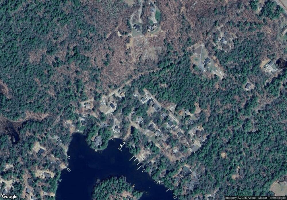
Map
Nearby Homes
- 31 Rays Way
- 5 Ferry Rd
- 29 Kona Farm Rd
- 16 Long Island Rd
- 21 Orton Ln
- 27 First Point Rd
- 11 Geery Ln
- 00 Beede Rd
- 10 Woodridge Rd
- 167 Long Island Rd
- 30 Leopards Leap
- 244 Wentworth Shores Rd
- 22 Tiger Trail
- 203 Krainewood Dr
- 41 Saint Gallen St
- 14 Island View Dr
- 122 Toltec Point Rd
- 00 Rivers Rd
- 00 Grande St Unit 44
- 9 Starboard Ln Unit 1
- 8 Rays Way
- 14 Rays Way
- 25 Hermit Cove Rd
- 25 Lower Hermit Cove Road With Boat Slip
- 29 Hermit Cove Rd
- 23 Hermit Cove Rd
- 67 Kimball Dr
- 20 Rays Way
- 33 Hermit Cove Rd
- 21 Rays Way
- 19 Hermit Cove Rd
- 22 Rays Way
- 39 Hermit Cove Rd
- 18 Hermit Cove Rd
- 73 Kimball Dr
- 34 Hermit Cove Rd
- 43 Hermit Cove Rd
- 8 Connector Rd
- 16 Connector Rd
- 79 Kimball Dr