12 River Rd Gilford, NH 03249
Estimated Value: $389,000 - $585,000
1
Bed
3
Baths
771
Sq Ft
$625/Sq Ft
Est. Value
About This Home
This home is located at 12 River Rd, Gilford, NH 03249 and is currently estimated at $482,258, approximately $625 per square foot. 12 River Rd is a home with nearby schools including Gilford Elementary School, Gilford Middle School, and Gilford High School.
Ownership History
Date
Name
Owned For
Owner Type
Purchase Details
Closed on
Sep 19, 2024
Sold by
Tidd James A and Tidd Elizabeth K
Bought by
Tidd Ft and Tidd
Current Estimated Value
Purchase Details
Closed on
Dec 21, 2016
Sold by
Rector 2Nd Dennis and Rector Jeri
Bought by
Achorn Christopher W and Achorn Starr M
Purchase Details
Closed on
Oct 16, 2008
Sold by
Mularz Edward S
Bought by
Tidd James A and Tidd Elizabeth K
Create a Home Valuation Report for This Property
The Home Valuation Report is an in-depth analysis detailing your home's value as well as a comparison with similar homes in the area
Home Values in the Area
Average Home Value in this Area
Purchase History
| Date | Buyer | Sale Price | Title Company |
|---|---|---|---|
| Tidd Ft | -- | None Available | |
| Tidd Ft | -- | None Available | |
| Achorn Christopher W | $237,533 | -- | |
| Tidd James A | $30,000 | -- | |
| Achorn Christopher W | $237,533 | -- | |
| Tidd James A | $30,000 | -- |
Source: Public Records
Tax History Compared to Growth
Tax History
| Year | Tax Paid | Tax Assessment Tax Assessment Total Assessment is a certain percentage of the fair market value that is determined by local assessors to be the total taxable value of land and additions on the property. | Land | Improvement |
|---|---|---|---|---|
| 2024 | $3,891 | $345,850 | $91,450 | $254,400 |
| 2023 | $3,562 | $345,850 | $91,450 | $254,400 |
| 2022 | $2,872 | $234,420 | $38,220 | $196,200 |
| 2021 | $2,879 | $234,420 | $38,220 | $196,200 |
| 2020 | $2,959 | $196,890 | $32,690 | $164,200 |
| 2019 | $2,920 | $184,140 | $28,740 | $155,400 |
| 2018 | $2,690 | $157,890 | $28,790 | $129,100 |
| 2017 | $2,725 | $157,890 | $28,790 | $129,100 |
| 2016 | $2,816 | $156,860 | $35,960 | $120,900 |
| 2015 | $2,210 | $123,000 | $31,400 | $91,600 |
| 2011 | $1,248 | $67,290 | $36,090 | $31,200 |
Source: Public Records
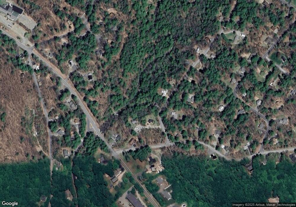
Map
Nearby Homes
- 26 Chalet Dr
- 663 Cherry Valley Rd Unit 311
- 55 White Birch Dr
- 39 Deer Run Ln
- 4 Cheshire Cir
- 235 Cumberland Rd
- 90 Briarcliff Rd
- 102 Curtis Rd
- 12 Balsam Dr
- 9 Chestnut Dr
- 18 Balsam Dr
- 22 Silver St
- 14 Curtis Rd
- 56 Foxglove Rd
- 214 Sagamore Rd
- 235 Chestnut Dr
- 252 Chestnut Dr
- 6 Cumberland Rd Unit 22
- 197 Scenic Dr Unit 3
- 134 Chestnut Dr