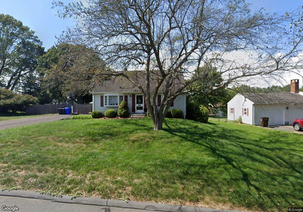
12 Sam St Enfield, CT 06082
Estimated Value: $313,804 - $353,000
3
Beds
1
Bath
1,296
Sq Ft
$255/Sq Ft
Est. Value
About This Home
This home is located at 12 Sam St, Enfield, CT 06082 and is currently estimated at $329,951, approximately $254 per square foot. 12 Sam St is a home located in Hartford County with nearby schools including Edgar H. Parkman School, Nathan Hale Elementary School, and Enfield High School.
Ownership History
Date
Name
Owned For
Owner Type
Purchase Details
Closed on
Jun 3, 2008
Sold by
Mason June
Bought by
Salvas Glenn and Bail Andrea
Current Estimated Value
Home Financials for this Owner
Home Financials are based on the most recent Mortgage that was taken out on this home.
Original Mortgage
$206,369
Interest Rate
5.91%
Purchase Details
Closed on
Jul 5, 2006
Sold by
Shumsky Krystyne
Bought by
Montminy Rita
Purchase Details
Closed on
Jan 3, 2005
Sold by
Campisi Marianne
Bought by
Mason June
Purchase Details
Closed on
Sep 30, 1994
Sold by
Rago John and Rago Jeanne
Bought by
Jarvis Gerald and Jarvis Marianne
Create a Home Valuation Report for This Property
The Home Valuation Report is an in-depth analysis detailing your home's value as well as a comparison with similar homes in the area
Home Values in the Area
Average Home Value in this Area
Purchase History
| Date | Buyer | Sale Price | Title Company |
|---|---|---|---|
| Salvas Glenn | $208,000 | -- | |
| Montminy Rita | $122,500 | -- | |
| Mason June | $178,000 | -- | |
| Jarvis Gerald | $117,000 | -- |
Source: Public Records
Mortgage History
| Date | Status | Borrower | Loan Amount |
|---|---|---|---|
| Open | Jarvis Gerald | $192,869 | |
| Closed | Jarvis Gerald | $206,369 |
Source: Public Records
Tax History
| Year | Tax Paid | Tax Assessment Tax Assessment Total Assessment is a certain percentage of the fair market value that is determined by local assessors to be the total taxable value of land and additions on the property. | Land | Improvement |
|---|---|---|---|---|
| 2025 | $5,255 | $150,200 | $56,600 | $93,600 |
| 2024 | $5,114 | $150,200 | $56,600 | $93,600 |
| 2023 | $5,077 | $150,200 | $56,600 | $93,600 |
| 2022 | $4,610 | $150,200 | $56,600 | $93,600 |
| 2021 | $4,433 | $118,130 | $46,890 | $71,240 |
| 2020 | $4,433 | $118,130 | $46,890 | $71,240 |
| 2019 | $4,445 | $118,130 | $46,890 | $71,240 |
| 2018 | $4,371 | $118,130 | $46,890 | $71,240 |
| 2017 | $4,126 | $118,130 | $46,890 | $71,240 |
| 2016 | $3,993 | $116,380 | $46,890 | $69,490 |
| 2015 | $2,197 | $116,380 | $46,890 | $69,490 |
| 2014 | $3,768 | $116,380 | $46,890 | $69,490 |
Source: Public Records
Map
Nearby Homes
Your Personal Tour Guide
Ask me questions while you tour the home.