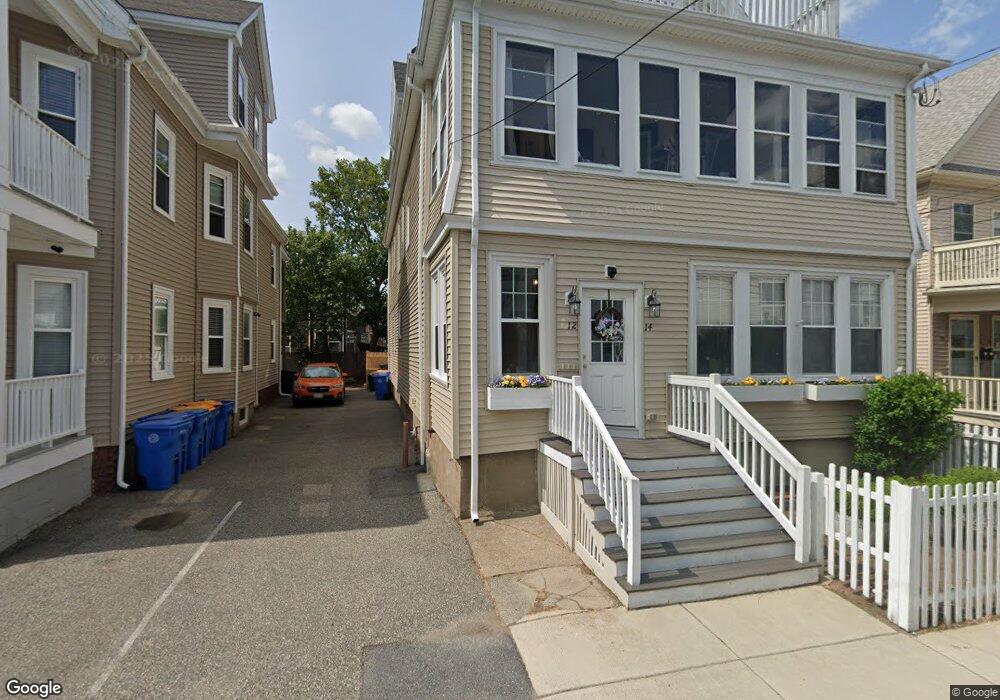
12 Seafoam Ave Unit 14 Winthrop, MA 02152
Winthrop Beach NeighborhoodEstimated Value: $977,000 - $1,080,000
8
Beds
3
Baths
3,394
Sq Ft
$307/Sq Ft
Est. Value
About This Home
This home is located at 12 Seafoam Ave Unit 14, Winthrop, MA 02152 and is currently estimated at $1,042,000, approximately $307 per square foot. 12 Seafoam Ave Unit 14 is a home located in Suffolk County with nearby schools including William P. Gorman/Fort Banks Elementary School, Arthur T. Cummings Elementary School, and Winthrop Middle School.
Create a Home Valuation Report for This Property
The Home Valuation Report is an in-depth analysis detailing your home's value as well as a comparison with similar homes in the area
Home Values in the Area
Average Home Value in this Area
Tax History Compared to Growth
Tax History
| Year | Tax Paid | Tax Assessment Tax Assessment Total Assessment is a certain percentage of the fair market value that is determined by local assessors to be the total taxable value of land and additions on the property. | Land | Improvement |
|---|---|---|---|---|
| 2025 | $7,270 | $704,500 | $325,800 | $378,700 |
| 2024 | $7,183 | $689,300 | $313,200 | $376,100 |
| 2023 | $7,369 | $688,700 | $286,700 | $402,000 |
| 2022 | $7,738 | $658,000 | $256,000 | $402,000 |
| 2021 | $7,571 | $597,100 | $228,600 | $368,500 |
| 2020 | $6,916 | $548,000 | $228,600 | $319,400 |
| 2019 | $6,647 | $504,300 | $210,700 | $293,600 |
| 2018 | $6,536 | $461,600 | $180,900 | $280,700 |
| 2017 | $6,058 | $420,400 | $160,300 | $260,100 |
| 2016 | $5,942 | $386,600 | $139,400 | $247,200 |
| 2015 | $5,190 | $361,900 | $135,400 | $226,500 |
| 2014 | $5,411 | $347,300 | $125,900 | $221,400 |
Source: Public Records
Map
Nearby Homes
- 279 Shirley St Unit 2
- 23 Trident Ave Unit 2
- 53 Trident Ave Unit 103
- 53 Trident Ave Unit 303
- 37 Trident Ave
- 28 Pearl Ave Unit 3
- 32 Pearl Ave
- 148 Winthrop Shore Dr Unit 5
- 10 Beach Rd Unit 1
- 130 Shirley St Unit 204
- 130 Shirley St Unit 202
- 51 Cutler St Unit 3
- 80 Shirley St
- 249 Winthrop Shore Dr Unit 6
- 41 Summit Ave
- 174 Winthrop St Unit 2
- 426 Winthrop St
- 3 Buckthorn Terrace Unit 2
- 441 Winthrop St
- 34 Fremont St
- 8 Seafoam Ave Unit 10
- 8 Seafoam Ave Unit 1
- 8 Seafoam Ave Unit 2
- 10 Seafoam Ave
- 20 Seafoam Ave Unit 22
- 4 Seafoam Ave
- 4 Seafoam Ave Unit 1
- 16 Seafoam Ave Unit 18
- 16 Seafoam Ave Unit 3
- 16 Seafoam Ave Unit 2
- 18 Seafoam Ave Unit 2
- 16-18 Seafoam Ave Unit 2
- 270 Shirley St Unit 3
- 270 Shirley St Unit 2
- 24 Seafoam Ave Unit 26
- 262 Shirley St Unit 264
- 262 Shirley St Unit 2
- 264 Shirley St
- 262 Shirley St Unit 3
- 264 Shirley St Unit 3