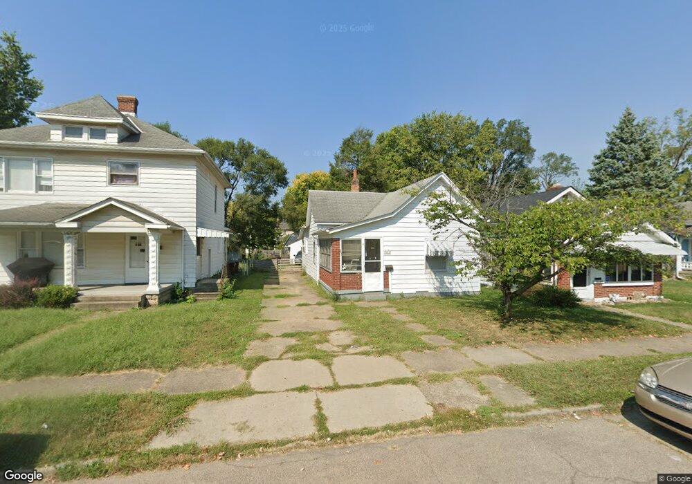
12 Shafor St Middletown, OH 45042
Sunset-Park Place NeighborhoodEstimated Value: $118,000 - $122,286
2
Beds
1
Bath
932
Sq Ft
$129/Sq Ft
Est. Value
About This Home
This home is located at 12 Shafor St, Middletown, OH 45042 and is currently estimated at $120,072, approximately $128 per square foot. 12 Shafor St is a home located in Butler County with nearby schools including Wildwood Elementary School, Highview 6th Grade Center, and Middletown Middle School.
Ownership History
Date
Name
Owned For
Owner Type
Purchase Details
Closed on
Apr 6, 2010
Sold by
Secretary Of Housing & Urban Development
Bought by
Blue Star Investment Inc
Current Estimated Value
Purchase Details
Closed on
Oct 30, 2009
Sold by
Retherford Verity M
Bought by
Wells Fargo Bank Na
Purchase Details
Closed on
Sep 24, 2009
Sold by
Wells Fargo Bank Na
Bought by
Secretary Of Housing & Urban Development
Purchase Details
Closed on
Feb 28, 2001
Sold by
Howard Judi A
Bought by
Retherford Verity M
Home Financials for this Owner
Home Financials are based on the most recent Mortgage that was taken out on this home.
Original Mortgage
$68,524
Interest Rate
7.06%
Mortgage Type
FHA
Create a Home Valuation Report for This Property
The Home Valuation Report is an in-depth analysis detailing your home's value as well as a comparison with similar homes in the area
Home Values in the Area
Average Home Value in this Area
Purchase History
| Date | Buyer | Sale Price | Title Company |
|---|---|---|---|
| Blue Star Investment Inc | $9,975 | Attorney | |
| Wells Fargo Bank Na | $40,200 | None Available | |
| Secretary Of Housing & Urban Development | -- | None Available | |
| Retherford Verity M | $68,600 | -- |
Source: Public Records
Mortgage History
| Date | Status | Borrower | Loan Amount |
|---|---|---|---|
| Previous Owner | Retherford Verity M | $68,524 |
Source: Public Records
Tax History
| Year | Tax Paid | Tax Assessment Tax Assessment Total Assessment is a certain percentage of the fair market value that is determined by local assessors to be the total taxable value of land and additions on the property. | Land | Improvement |
|---|---|---|---|---|
| 2025 | $1,191 | $22,480 | $5,420 | $17,060 |
| 2024 | $1,191 | $22,480 | $5,420 | $17,060 |
| 2023 | $1,184 | $23,670 | $5,420 | $18,250 |
| 2022 | $879 | $14,750 | $5,420 | $9,330 |
| 2021 | $846 | $14,750 | $5,420 | $9,330 |
| 2020 | $882 | $14,750 | $5,420 | $9,330 |
| 2019 | $1,220 | $16,830 | $5,430 | $11,400 |
| 2018 | $1,090 | $16,830 | $5,430 | $11,400 |
| 2017 | $1,092 | $16,830 | $5,430 | $11,400 |
| 2016 | $1,226 | $16,230 | $5,430 | $10,800 |
| 2015 | $1,084 | $16,230 | $5,430 | $10,800 |
| 2014 | $1,246 | $16,230 | $5,430 | $10,800 |
| 2013 | $1,246 | $18,150 | $5,430 | $12,720 |
Source: Public Records
Map
Nearby Homes
- 19 Mckinley St
- 102 Franklin St
- 2119 Central Ave
- 2208 Linden Ave
- 2619 Central Ave
- 2420 Superior Ave
- 2023 Arlington Ave
- 308 Bellemonte St
- 2304 Flemming Rd
- 6800 Fielders Way
- 21 Kenwood Dr
- 14 Moore St
- 2418 Sherman Ave
- 2124 Sherman Ave
- 501 Stanley St
- 325 Moore St
- 1814.5 Logan Ave
- 427 Mckinley St
- 319 Crawford St
- 2312 S Sutphin St
Your Personal Tour Guide
Ask me questions while you tour the home.