12 Starr Ave W Andover, MA 01810
Far West Andover NeighborhoodEstimated Value: $1,025,000 - $1,413,000
4
Beds
3
Baths
3,317
Sq Ft
$359/Sq Ft
Est. Value
About This Home
This home is located at 12 Starr Ave W, Andover, MA 01810 and is currently estimated at $1,189,537, approximately $358 per square foot. 12 Starr Ave W is a home located in Essex County with nearby schools including High Plain Elementary School, Wood Hill Middle School, and Andover High School.
Ownership History
Date
Name
Owned For
Owner Type
Purchase Details
Closed on
Sep 26, 1988
Sold by
Bishop John R
Bought by
Vella Louis C
Current Estimated Value
Home Financials for this Owner
Home Financials are based on the most recent Mortgage that was taken out on this home.
Original Mortgage
$215,000
Interest Rate
10.51%
Mortgage Type
Purchase Money Mortgage
Create a Home Valuation Report for This Property
The Home Valuation Report is an in-depth analysis detailing your home's value as well as a comparison with similar homes in the area
Home Values in the Area
Average Home Value in this Area
Purchase History
| Date | Buyer | Sale Price | Title Company |
|---|---|---|---|
| Vella Louis C | $375,000 | -- |
Source: Public Records
Mortgage History
| Date | Status | Borrower | Loan Amount |
|---|---|---|---|
| Open | Vella Louis C | $142,000 | |
| Closed | Vella Louis C | $190,000 | |
| Closed | Vella Louis C | $215,000 |
Source: Public Records
Tax History
| Year | Tax Paid | Tax Assessment Tax Assessment Total Assessment is a certain percentage of the fair market value that is determined by local assessors to be the total taxable value of land and additions on the property. | Land | Improvement |
|---|---|---|---|---|
| 2024 | $12,528 | $972,700 | $431,800 | $540,900 |
| 2023 | $11,768 | $861,500 | $369,200 | $492,300 |
| 2022 | $11,287 | $773,100 | $332,800 | $440,300 |
| 2021 | $10,839 | $708,900 | $302,700 | $406,200 |
| 2020 | $10,542 | $702,300 | $302,700 | $399,600 |
| 2019 | $10,625 | $695,800 | $302,700 | $393,100 |
| 2018 | $10,282 | $657,400 | $294,000 | $363,400 |
| 2017 | $9,872 | $650,300 | $288,000 | $362,300 |
| 2016 | $9,663 | $652,000 | $288,000 | $364,000 |
| 2015 | $9,473 | $632,800 | $288,000 | $344,800 |
Source: Public Records
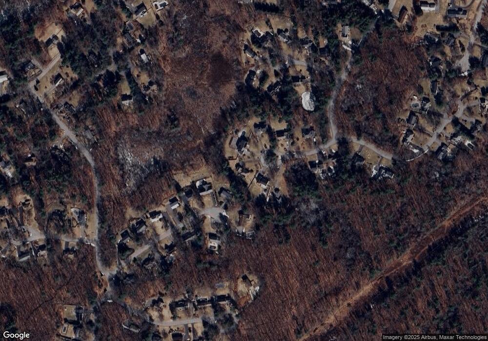
Map
Nearby Homes
- 10 Berkeley Ln
- 8 Ashford Ln
- 29 Stoneybrook Cir
- 6 Overlook Dr Unit 403
- 2 Francis Dr Unit 405
- 4 Francis Dr Unit 312
- 4 Francis Dr Unit 207
- 2 Francis Dr Unit 301
- 1575 Andover St
- 18 Ravens Bluff
- 20 Mount Joy Dr
- 21 Greybirch Rd
- 322 River Rd
- 31 Varnum Ave
- 20 Hood Rd
- 2 Greybirch Rd
- 22 Haggetts Pond Rd
- 2 Deerberry Ln
- 30 Parker Rd
- 31 Floyd Ave
- 14 Belle Haven Dr
- 10 Starr Ave W
- 11 Starr Ave W
- 12 Belle Haven Dr
- 8 Starr Ave W
- 9 Starr Ave W
- 11 Belle Haven Dr
- 7 Starr Ave W
- 10 Belle Haven Dr
- 9 Belle Haven Dr
- 3 Starr Ave W
- 4 Starr Ave W
- 4 Starr Ave W Unit 1
- 8 Belle Haven Dr
- 7 Belle Haven Dr
- 6 Penbrook Cir
- 8 Penbrook Cir
- 2 Starr Ave W
- 6 Belle Haven Dr
- 6 Belle Haven Dr
Your Personal Tour Guide
Ask me questions while you tour the home.