12 Thaxter Ln Edgartown, MA 02539
Edgartown NeighborhoodEstimated Value: $2,599,000 - $3,536,000
3
Beds
3
Baths
2,268
Sq Ft
$1,283/Sq Ft
Est. Value
About This Home
This home is located at 12 Thaxter Ln, Edgartown, MA 02539 and is currently estimated at $2,909,250, approximately $1,282 per square foot. 12 Thaxter Ln is a home located in Dukes County with nearby schools including Edgartown Elementary School and Martha's Vineyard Regional High School.
Ownership History
Date
Name
Owned For
Owner Type
Purchase Details
Closed on
Sep 12, 2005
Sold by
Olmstead Debra A and Olmstead Ronald L
Bought by
Lewis Kristen E and Lewis Thomas J
Current Estimated Value
Home Financials for this Owner
Home Financials are based on the most recent Mortgage that was taken out on this home.
Original Mortgage
$975,000
Outstanding Balance
$519,659
Interest Rate
5.79%
Mortgage Type
Purchase Money Mortgage
Estimated Equity
$2,389,591
Purchase Details
Closed on
Jan 25, 2002
Sold by
Flynn John E and Flynn Jacqueline T
Bought by
Olmstead Ronald L and Olmstead Debra A
Home Financials for this Owner
Home Financials are based on the most recent Mortgage that was taken out on this home.
Original Mortgage
$410,000
Interest Rate
7.08%
Mortgage Type
Purchase Money Mortgage
Create a Home Valuation Report for This Property
The Home Valuation Report is an in-depth analysis detailing your home's value as well as a comparison with similar homes in the area
Home Values in the Area
Average Home Value in this Area
Purchase History
| Date | Buyer | Sale Price | Title Company |
|---|---|---|---|
| Lewis Kristen E | $1,475,000 | -- | |
| Olmstead Ronald L | $820,000 | -- |
Source: Public Records
Mortgage History
| Date | Status | Borrower | Loan Amount |
|---|---|---|---|
| Open | Lewis Kristen E | $975,000 | |
| Previous Owner | Olmstead Ronald L | $410,000 |
Source: Public Records
Tax History
| Year | Tax Paid | Tax Assessment Tax Assessment Total Assessment is a certain percentage of the fair market value that is determined by local assessors to be the total taxable value of land and additions on the property. | Land | Improvement |
|---|---|---|---|---|
| 2025 | $5,599 | $2,112,700 | $974,900 | $1,137,800 |
| 2024 | $4,720 | $1,850,800 | $974,900 | $875,900 |
| 2023 | $4,907 | $1,947,300 | $928,700 | $1,018,600 |
| 2022 | $4,631 | $1,528,295 | $844,295 | $684,000 |
| 2021 | $4,776 | $1,456,225 | $844,525 | $611,700 |
| 2020 | $5,378 | $1,605,300 | $921,300 | $684,000 |
| 2019 | $5,627 | $1,453,900 | $844,500 | $609,400 |
| 2018 | $4,880 | $1,261,000 | $798,500 | $462,500 |
| 2017 | $4,620 | $1,301,300 | $798,500 | $502,800 |
| 2016 | $4,589 | $1,267,600 | $702,100 | $565,500 |
| 2015 | $3,833 | $1,104,600 | $696,000 | $408,600 |
Source: Public Records
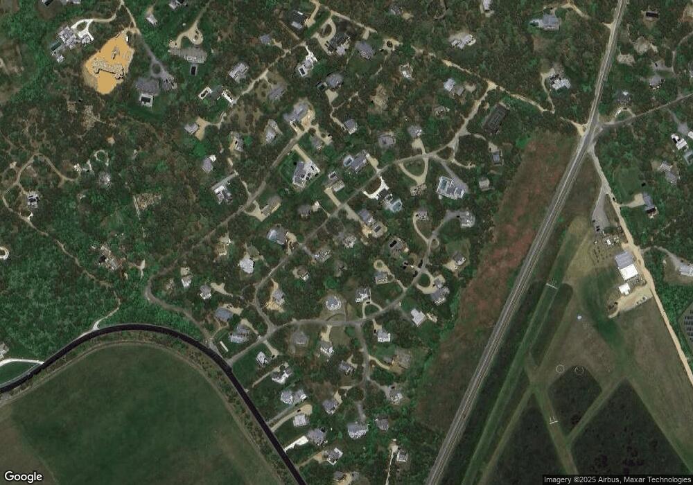
Map
Nearby Homes
- 23 Thaxter Ln
- 39 Slough Cove Rd Unit 12.2 (part of)
- 39 Slough Cove Rd
- 31 Butlers Cove Rd
- 58 Road To the Plains
- 1 Field Club Dr
- 11A Duarte Cir
- 42 Road To the Plains
- 5 Atlantic Dr Unit 5.2
- 7 Martha's Way
- 48 Turkeyland Cove Rd
- 19 Kitts Field Cir
- 114 Meeting House Way
- 114 Meeting House Way
- 24 Katama Bay View Rd
- 15 Night Heron Rd
- 23 Beetle Swamp Rd
- 7 Marthas Rd
- 7 Meetinghouse Village Way
- 5 Louis Field Rd Unit 121.3
- 10 Thaxter Ln
- 14 Thaxter Ln
- 11 Plains Head Ln
- 15 Plains Head Ln
- 11 Thaxter Ln
- 8 Thaxter Ln
- 9 Plains Head Ln
- 15 Thaxter Ln
- 16 Thaxter Ln
- 16 Thaxter Ln
- 9 Thaxter Ln
- 9 Thaxter Lane Ed310
- 7 Plains Head Ln
- 17 Thaxter Ln
- 17 Plains Head Ln
- 18 Thaxter Ln
- 14 Crafts Field Way
- 18 Crafts Field Way
- 5 Plains Head Ln
- 10 Crafts Field Way
Your Personal Tour Guide
Ask me questions while you tour the home.