12 Townsend Ave Salem, NH 03079
Salem Center NeighborhoodEstimated Value: $466,166 - $541,000
3
Beds
1
Bath
1,008
Sq Ft
$504/Sq Ft
Est. Value
About This Home
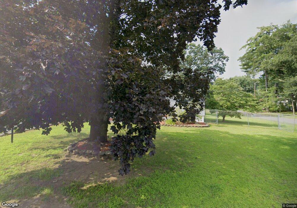
This home is located at 12 Townsend Ave, Salem, NH 03079 and is currently estimated at $507,792, approximately $503 per square foot. 12 Townsend Ave is a home located in Rockingham County with nearby schools including William E. Lancaster School, Woodbury School, and Salem High School.
Ownership History
Date
Name
Owned For
Owner Type
Purchase Details
Closed on
Nov 14, 1996
Sold by
Spampinato Steven and Spampinato Kimberly
Bought by
Marceau Paul and Marceau Deborah
Current Estimated Value
Home Financials for this Owner
Home Financials are based on the most recent Mortgage that was taken out on this home.
Original Mortgage
$122,400
Interest Rate
7.99%
Mortgage Type
Purchase Money Mortgage
Create a Home Valuation Report for This Property
The Home Valuation Report is an in-depth analysis detailing your home's value as well as a comparison with similar homes in the area
Home Values in the Area
Average Home Value in this Area
Purchase History
| Date | Buyer | Sale Price | Title Company |
|---|---|---|---|
| Marceau Paul | $120,000 | -- |
Source: Public Records
Mortgage History
| Date | Status | Borrower | Loan Amount |
|---|---|---|---|
| Open | Marceau Paul | $265,900 | |
| Closed | Marceau Paul | $261,000 | |
| Closed | Marceau Paul | $237,000 | |
| Closed | Marceau Paul | $122,400 |
Source: Public Records
Tax History
| Year | Tax Paid | Tax Assessment Tax Assessment Total Assessment is a certain percentage of the fair market value that is determined by local assessors to be the total taxable value of land and additions on the property. | Land | Improvement |
|---|---|---|---|---|
| 2024 | $6,827 | $387,900 | $163,100 | $224,800 |
| 2023 | $6,457 | $380,700 | $163,100 | $217,600 |
| 2022 | $6,110 | $380,700 | $163,100 | $217,600 |
| 2021 | $6,084 | $380,700 | $163,100 | $217,600 |
| 2020 | $5,553 | $252,200 | $116,700 | $135,500 |
| 2019 | $5,543 | $252,200 | $116,700 | $135,500 |
| 2018 | $5,450 | $252,200 | $116,700 | $135,500 |
| 2017 | $5,256 | $252,200 | $116,700 | $135,500 |
| 2016 | $5,152 | $252,200 | $116,700 | $135,500 |
| 2015 | $5,025 | $234,900 | $118,500 | $116,400 |
| 2014 | $4,884 | $234,900 | $118,500 | $116,400 |
| 2013 | $4,806 | $234,900 | $118,500 | $116,400 |
Source: Public Records
Map
Nearby Homes
- 1 Kimball Ave
- 55A Millville Cir
- 1 Ballard Ln
- 11 Liberty St
- 8 Stoneybrook Ln
- 4 Therriault Ave
- 40 Stanwood Rd Unit 9
- 8 Alta Ave
- 13 Centerville Dr
- 187 N Main St
- 5 Sally Sweets Way Unit 110
- 5 Sally Sweets Way Unit 128
- 3 Longview Dr Unit 305
- 1 Longview Dr Unit 110
- 1 Longview Dr Unit 203
- 1 Longview Dr Unit 101
- 1 Longview Dr Unit 108
- 1 Longview Dr Unit 401
- 1 Longview Dr Unit 306
- 1 Longview Dr Unit 205
- 3 Kyle Dr
- 3 Kyle Dr Unit 1
- 14 Townsend Ave
- 11 Townsend Ave
- 5 Kyle Dr
- 13 Townsend Ave
- 16 Townsend Ave
- 33 General Pulaski Dr
- 4 Kyle Dr
- 8 Townsend Ave
- 15 Townsend Ave
- 7 Kyle Dr
- 18 Townsend Ave
- 31 General Pulaski Dr
- 38 General Pulaski Dr
- 6 Townsend Ave
- 6 Kyle Dr
- 40 Lou Ave
- 20 Townsend Ave
- 5 Townsend Ave