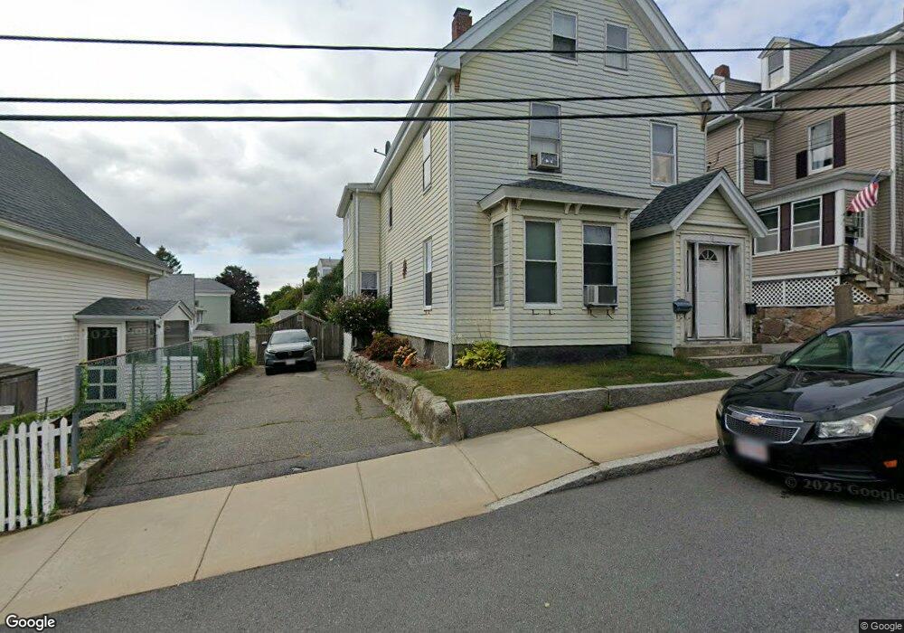
12 Trask St Gloucester, MA 01930
Central Gloucester NeighborhoodEstimated Value: $631,976 - $724,000
6
Beds
2
Baths
2,545
Sq Ft
$266/Sq Ft
Est. Value
About This Home
This home is located at 12 Trask St, Gloucester, MA 01930 and is currently estimated at $676,494, approximately $265 per square foot. 12 Trask St is a home located in Essex County with nearby schools including East Veterans Memorial Elementary, Ralph B O'maley Middle School, and Gloucester High School.
Ownership History
Date
Name
Owned For
Owner Type
Purchase Details
Closed on
Mar 10, 1998
Sold by
Asaro Mark P and Asaro Paula E
Bought by
Williams Scott M and Williams Patricia L
Current Estimated Value
Home Financials for this Owner
Home Financials are based on the most recent Mortgage that was taken out on this home.
Original Mortgage
$141,300
Interest Rate
6.93%
Mortgage Type
Purchase Money Mortgage
Purchase Details
Closed on
Sep 18, 1992
Sold by
Dasilva Fernando A and Dasilva Antonetta
Bought by
Asaro Mark P and Asaro Paula
Home Financials for this Owner
Home Financials are based on the most recent Mortgage that was taken out on this home.
Original Mortgage
$120,300
Interest Rate
8.04%
Mortgage Type
Purchase Money Mortgage
Create a Home Valuation Report for This Property
The Home Valuation Report is an in-depth analysis detailing your home's value as well as a comparison with similar homes in the area
Home Values in the Area
Average Home Value in this Area
Purchase History
| Date | Buyer | Sale Price | Title Company |
|---|---|---|---|
| Williams Scott M | $157,000 | -- | |
| Asaro Mark P | $120,000 | -- |
Source: Public Records
Mortgage History
| Date | Status | Borrower | Loan Amount |
|---|---|---|---|
| Open | Asaro Mark P | $22,000 | |
| Open | Asaro Mark P | $130,000 | |
| Closed | Asaro Mark P | $141,300 | |
| Previous Owner | Asaro Mark P | $120,300 |
Source: Public Records
Tax History
| Year | Tax Paid | Tax Assessment Tax Assessment Total Assessment is a certain percentage of the fair market value that is determined by local assessors to be the total taxable value of land and additions on the property. | Land | Improvement |
|---|---|---|---|---|
| 2025 | $5,264 | $541,600 | $131,200 | $410,400 |
| 2024 | $5,171 | $531,500 | $125,000 | $406,500 |
| 2023 | $5,939 | $560,800 | $111,600 | $449,200 |
| 2022 | $5,554 | $473,500 | $97,100 | $376,400 |
| 2021 | $5,368 | $431,500 | $88,200 | $343,300 |
| 2020 | $5,075 | $411,600 | $88,200 | $323,400 |
| 2019 | $4,691 | $369,700 | $88,200 | $281,500 |
| 2018 | $4,354 | $336,700 | $88,200 | $248,500 |
| 2017 | $4,093 | $310,300 | $79,500 | $230,800 |
| 2016 | $3,902 | $286,700 | $79,400 | $207,300 |
| 2015 | $3,823 | $280,100 | $79,400 | $200,700 |
Source: Public Records
Map
Nearby Homes
- 19 Trask St Unit 2
- 50 Warner St
- 40 Sargent St
- 113 Pleasant St
- 12 Arthur St
- 9 Cleveland Place
- 33 Maplewood Ave Unit 310
- 139A Prospect St
- 98 Maplewood Ave
- 8 Mystic Ave
- 13 Mystic Ave
- 120 Washington St
- 191 Main St Unit 3
- 191 Main St Unit 2A
- 6 Monroe Ct
- 35 Middle St Unit 4
- 33 Middle St
- 20 Beacon St
- 20 Beacon St Unit 2
- 20 Beacon St Unit 1
Your Personal Tour Guide
Ask me questions while you tour the home.