12 Wauketa Rd Gloucester, MA 01930
West Gloucester NeighborhoodEstimated Value: $2,052,000 - $3,304,000
4
Beds
3
Baths
1,792
Sq Ft
$1,439/Sq Ft
Est. Value
About This Home
This home is located at 12 Wauketa Rd, Gloucester, MA 01930 and is currently estimated at $2,578,688, approximately $1,439 per square foot. 12 Wauketa Rd is a home located in Essex County with nearby schools including West Parish, Ralph B O'maley Middle School, and Gloucester High School.
Ownership History
Date
Name
Owned For
Owner Type
Purchase Details
Closed on
Apr 29, 2020
Sold by
Serbagi Russell C
Bought by
Armstrong Pamela and Serbagi Russell C
Current Estimated Value
Home Financials for this Owner
Home Financials are based on the most recent Mortgage that was taken out on this home.
Original Mortgage
$337,000
Interest Rate
3.3%
Mortgage Type
New Conventional
Purchase Details
Closed on
Nov 6, 1997
Sold by
Digiovanni Edmond A and Digiovanni Roberta P
Bought by
Sebagi Russell C
Create a Home Valuation Report for This Property
The Home Valuation Report is an in-depth analysis detailing your home's value as well as a comparison with similar homes in the area
Home Values in the Area
Average Home Value in this Area
Purchase History
| Date | Buyer | Sale Price | Title Company |
|---|---|---|---|
| Armstrong Pamela | -- | None Available | |
| Sebagi Russell C | $375,000 | -- |
Source: Public Records
Mortgage History
| Date | Status | Borrower | Loan Amount |
|---|---|---|---|
| Previous Owner | Armstrong Pamela | $337,000 | |
| Previous Owner | Sebagi Russell C | $375,000 | |
| Previous Owner | Sebagi Russell C | $150,000 | |
| Previous Owner | Sebagi Russell C | $350,000 |
Source: Public Records
Tax History
| Year | Tax Paid | Tax Assessment Tax Assessment Total Assessment is a certain percentage of the fair market value that is determined by local assessors to be the total taxable value of land and additions on the property. | Land | Improvement |
|---|---|---|---|---|
| 2025 | $22,852 | $2,351,000 | $1,614,700 | $736,300 |
| 2024 | $22,145 | $2,276,000 | $1,495,200 | $780,800 |
| 2023 | $20,610 | $1,946,200 | $1,275,500 | $670,700 |
| 2022 | $17,182 | $1,464,800 | $904,100 | $560,700 |
| 2021 | $16,328 | $1,312,500 | $821,700 | $490,800 |
| 2020 | $16,253 | $1,318,200 | $821,700 | $496,500 |
| 2019 | $16,199 | $1,276,500 | $783,500 | $493,000 |
| 2018 | $15,693 | $1,213,700 | $764,300 | $449,400 |
| 2017 | $15,064 | $1,142,100 | $727,500 | $414,600 |
| 2016 | $14,744 | $1,083,300 | $695,600 | $387,700 |
| 2015 | $14,177 | $1,038,600 | $679,700 | $358,900 |
Source: Public Records
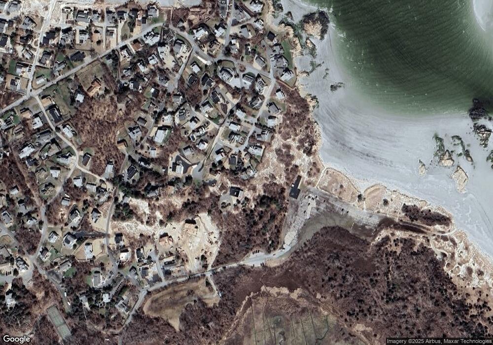
Map
Nearby Homes
- 226 Atlantic St
- 178 Atlantic St
- 167 Atlantic St
- 2 Breezy Point Rd
- 672 Washington St
- 13 Honeysuckle Rd
- 3 Deacon Farm Ln
- 7 Colburn St
- 31 Echo Ave
- 1030 Washington St
- 43 High St Unit B
- 13 Mystic Ave
- 8 Mystic Ave
- 5 Samoset Rd Unit B
- 7 Leaman Dr
- 6 Monroe Ct
- 10 Emerald St
- 98 Maplewood Ave
- 145 Essex Ave Unit 402
- 24 Cobblestone Ln Unit 603
Your Personal Tour Guide
Ask me questions while you tour the home.