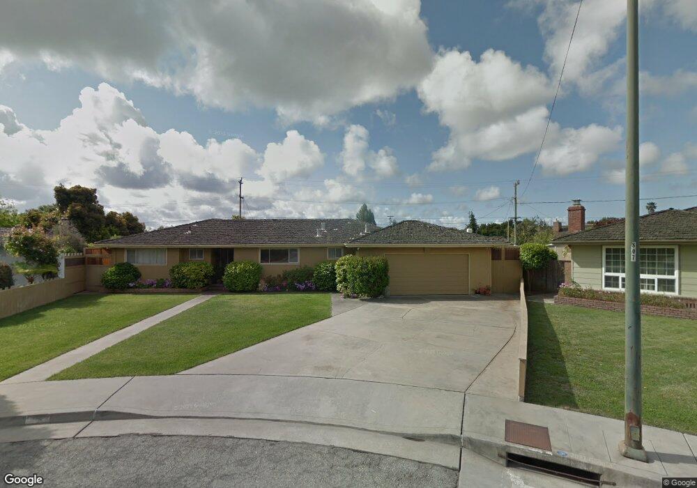
12 Wesley Ct Watsonville, CA 95076
Estimated Value: $837,000 - $912,000
3
Beds
2
Baths
1,683
Sq Ft
$523/Sq Ft
Est. Value
About This Home
This home is located at 12 Wesley Ct, Watsonville, CA 95076 and is currently estimated at $880,541, approximately $523 per square foot. 12 Wesley Ct is a home located in Santa Cruz County with nearby schools including T.S. Macquiddy Elementary School, E.A. Hall Middle School, and Watsonville High School.
Ownership History
Date
Name
Owned For
Owner Type
Purchase Details
Closed on
Mar 28, 2024
Sold by
Kirkland Lynne
Bought by
Heim Layne V and Heim Karen S
Current Estimated Value
Purchase Details
Closed on
Sep 27, 2022
Sold by
Kirkland Lynne and Heim Layne V
Bought by
Lynne Kirkland Trust and Karen S Heim & Layne V Heim 2006 Revocable Tr
Purchase Details
Closed on
Jul 31, 2002
Sold by
Heim Jimmey E and Heim Ann Marie
Bought by
Heim Jim and Heim Ann
Create a Home Valuation Report for This Property
The Home Valuation Report is an in-depth analysis detailing your home's value as well as a comparison with similar homes in the area
Home Values in the Area
Average Home Value in this Area
Purchase History
| Date | Buyer | Sale Price | Title Company |
|---|---|---|---|
| Heim Layne V | -- | None Listed On Document | |
| Lynne Kirkland Trust | -- | None Listed On Document | |
| Kirkland Lynne | -- | None Listed On Document | |
| Heim Jim | -- | -- |
Source: Public Records
Tax History
| Year | Tax Paid | Tax Assessment Tax Assessment Total Assessment is a certain percentage of the fair market value that is determined by local assessors to be the total taxable value of land and additions on the property. | Land | Improvement |
|---|---|---|---|---|
| 2025 | $10,341 | $902,026 | $636,724 | $265,302 |
| 2023 | $1,192 | $91,041 | $27,117 | $63,924 |
| 2022 | $1,089 | $89,256 | $26,585 | $62,671 |
| 2021 | $1,066 | $87,506 | $26,064 | $61,442 |
| 2020 | $1,052 | $86,609 | $25,797 | $60,812 |
| 2019 | $1,031 | $84,911 | $25,291 | $59,620 |
| 2018 | $1,003 | $83,246 | $24,795 | $58,451 |
| 2017 | $992 | $81,614 | $24,309 | $57,305 |
| 2016 | $965 | $80,013 | $23,832 | $56,181 |
| 2015 | $959 | $78,811 | $23,474 | $55,337 |
| 2014 | $937 | $77,267 | $23,014 | $54,253 |
Source: Public Records
Map
Nearby Homes
- 280 Crestview Dr
- 708 Hill Ave
- 20 Marin St
- 91 Alta Vista Ave
- 215 Palm Ave Unit A
- 12 Eastern Dr
- 223 Shasta St
- 729 Vista Montana Dr
- 117 Skyline Vista Way
- 718 Roble St
- 225 Pacifica Blvd Unit 204
- 49 Blanca Ln Unit 512
- 49 Blanca Ln Unit 523
- 608 Bronte Ave
- 535 Joyce Dr
- 8 Carita Ct
- 525 Cloudview Dr
- 563 Argos Cir
- 501 Tuttle Ave
- 501 Cedar Dr
Your Personal Tour Guide
Ask me questions while you tour the home.