12 Windy Way Vineyard Haven, MA 02568
West Tisbury NeighborhoodEstimated Value: $2,415,000 - $4,627,000
3
Beds
4
Baths
2,055
Sq Ft
$1,877/Sq Ft
Est. Value
About This Home
This home is located at 12 Windy Way, Vineyard Haven, MA 02568 and is currently estimated at $3,857,033, approximately $1,876 per square foot. 12 Windy Way is a home located in Dukes County with nearby schools including Martha's Vineyard Regional High School, Martha's Vineyard Charter School, and Vineyard Montessori School.
Ownership History
Date
Name
Owned For
Owner Type
Purchase Details
Closed on
Jul 24, 2007
Sold by
Barker Donald M and Florin Janice D
Bought by
Anemone Llc
Current Estimated Value
Purchase Details
Closed on
Nov 21, 2000
Sold by
Mcneely Trs William F and Mcneely Trs Betty U
Bought by
Barker Donald and Florin Janice
Home Financials for this Owner
Home Financials are based on the most recent Mortgage that was taken out on this home.
Original Mortgage
$750,000
Interest Rate
7.78%
Mortgage Type
Purchase Money Mortgage
Create a Home Valuation Report for This Property
The Home Valuation Report is an in-depth analysis detailing your home's value as well as a comparison with similar homes in the area
Home Values in the Area
Average Home Value in this Area
Purchase History
| Date | Buyer | Sale Price | Title Company |
|---|---|---|---|
| Anemone Llc | -- | -- | |
| Barker Tr Donald M | -- | -- | |
| Barker Donald | $1,100,000 | -- |
Source: Public Records
Mortgage History
| Date | Status | Borrower | Loan Amount |
|---|---|---|---|
| Previous Owner | Barker Donald | $750,000 |
Source: Public Records
Tax History
| Year | Tax Paid | Tax Assessment Tax Assessment Total Assessment is a certain percentage of the fair market value that is determined by local assessors to be the total taxable value of land and additions on the property. | Land | Improvement |
|---|---|---|---|---|
| 2025 | $19,514 | $4,307,800 | $3,240,200 | $1,067,600 |
| 2024 | $18,054 | $4,198,600 | $3,146,300 | $1,052,300 |
| 2023 | $18,101 | $4,151,700 | $3,161,900 | $989,800 |
| 2022 | $17,134 | $2,944,000 | $2,144,200 | $799,800 |
| 2021 | $5,950 | $2,800,200 | $2,001,300 | $798,900 |
| 2020 | $5,756 | $2,724,000 | $1,922,300 | $801,700 |
| 2019 | $15,358 | $2,485,100 | $1,745,800 | $739,300 |
| 2018 | $6,616 | $2,376,100 | $1,667,300 | $708,800 |
| 2017 | $13,198 | $2,210,800 | $1,482,100 | $728,700 |
| 2016 | $12,814 | $2,114,600 | $1,389,100 | $725,500 |
| 2015 | $12,074 | $2,114,600 | $1,389,100 | $725,500 |
| 2014 | $11,931 | $2,205,300 | $1,581,000 | $624,300 |
Source: Public Records
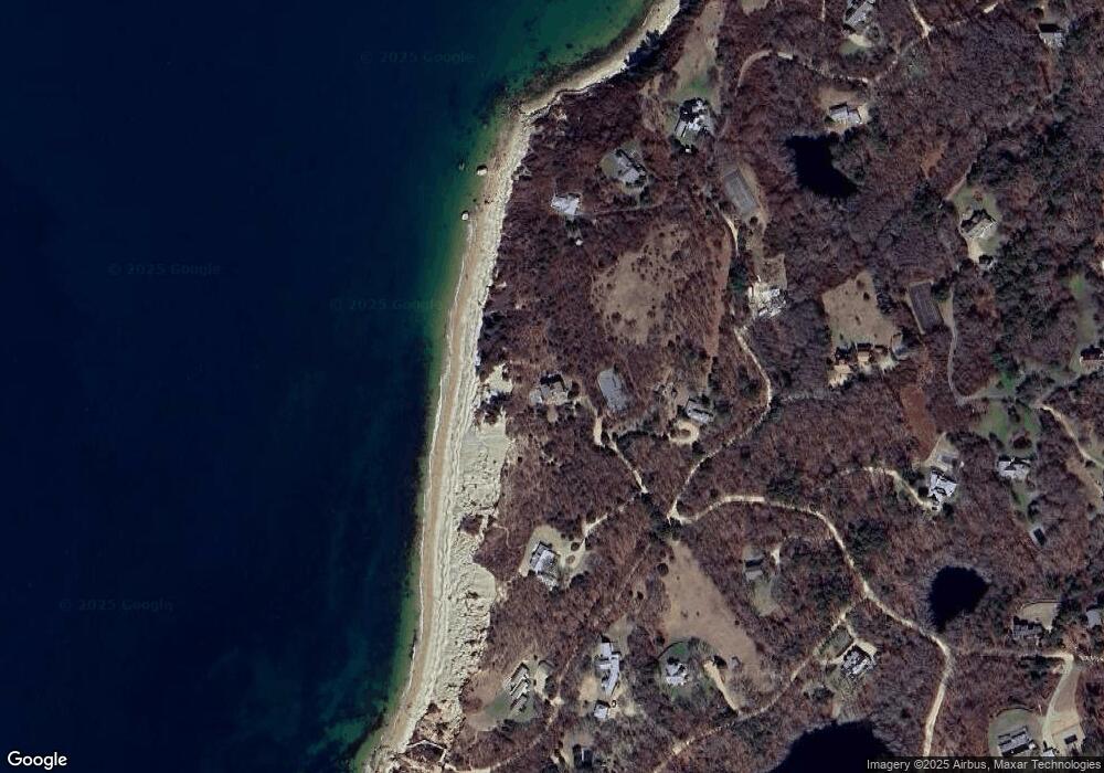
Map
Nearby Homes
- 60 Bartimus Luce Rd
- 11 Beach Pebble Rd Unit 48.3
- 11 Beach Pebble Rd
- 9 Beach Pebble Rd
- 20 Brook Hollow Rd
- 55 Old House Way
- 157 Ben Chase Rd
- 53 Stoney Hill Rd
- 50 Lantern Ln
- 4 Rock Pond Rd
- 51 Lantern Ln
- 15 Goah Way
- 344 Greenwood Ave
- 56 Holmes Hole Rd Unit 10
- 56 Holmes Hole Rd
- 378 State Rd
- 24 Cournoyer Rd
- 268 Tashmoo Ave
- 140 Midland Ave
- 241 Daggett Ave
- 9 Windy Way
- 4 Windy Way
- 4 Windy Way Wt143
- 13 Morss Ln
- 104 and 126 Naushon Rd
- 104 & 126 Naushon Rd
- 126 Naushon Rd
- 126 & 104 Naushon Rd
- 7 Morses Ln
- 27 Oak Grove Rd
- 100 Capawock Rd
- 135 Capawock Rd
- 136 Naushon Rd
- 15 Oak Grove Rd
- 103 Naushon Rd
- 86 Capawock Rd
- 101 Capawock Rd
- 41 Oak Grove Rd
- 86 Naushon Rd
- 64 Brickworks Rd
Your Personal Tour Guide
Ask me questions while you tour the home.