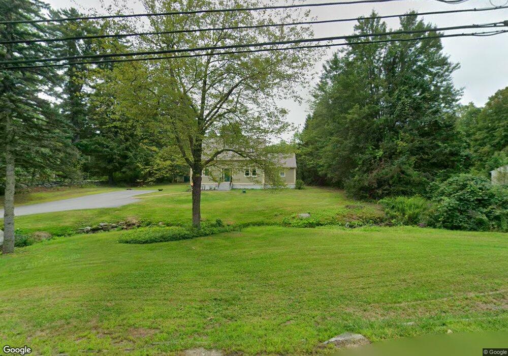
120 Burns Hill Rd Wilton, NH 03086
Estimated Value: $487,000 - $587,000
3
Beds
2
Baths
2,010
Sq Ft
$265/Sq Ft
Est. Value
About This Home
This home is located at 120 Burns Hill Rd, Wilton, NH 03086 and is currently estimated at $532,422, approximately $264 per square foot. 120 Burns Hill Rd is a home located in Hillsborough County with nearby schools including Florence Rideout Elementary School, Wilton-Lyndeborough Cooperative Middle School, and Wilton-Lyndeborough Cooperative High School.
Ownership History
Date
Name
Owned For
Owner Type
Purchase Details
Closed on
Jun 12, 2014
Sold by
Anderson Christopher J
Bought by
Anderson Patricia A
Current Estimated Value
Home Financials for this Owner
Home Financials are based on the most recent Mortgage that was taken out on this home.
Original Mortgage
$140,000
Outstanding Balance
$106,767
Interest Rate
4.27%
Mortgage Type
Purchase Money Mortgage
Estimated Equity
$425,655
Create a Home Valuation Report for This Property
The Home Valuation Report is an in-depth analysis detailing your home's value as well as a comparison with similar homes in the area
Home Values in the Area
Average Home Value in this Area
Purchase History
| Date | Buyer | Sale Price | Title Company |
|---|---|---|---|
| Anderson Patricia A | -- | -- |
Source: Public Records
Mortgage History
| Date | Status | Borrower | Loan Amount |
|---|---|---|---|
| Open | Anderson Patricia A | $140,000 |
Source: Public Records
Tax History Compared to Growth
Tax History
| Year | Tax Paid | Tax Assessment Tax Assessment Total Assessment is a certain percentage of the fair market value that is determined by local assessors to be the total taxable value of land and additions on the property. | Land | Improvement |
|---|---|---|---|---|
| 2024 | $8,677 | $348,900 | $111,000 | $237,900 |
| 2023 | $7,746 | $348,900 | $111,000 | $237,900 |
| 2022 | $7,208 | $348,900 | $111,000 | $237,900 |
| 2021 | $6,706 | $348,900 | $111,000 | $237,900 |
| 2020 | $7,224 | $245,800 | $81,200 | $164,600 |
| 2019 | $7,138 | $245,800 | $81,200 | $164,600 |
| 2018 | $7,069 | $245,800 | $81,200 | $164,600 |
| 2017 | $6,678 | $245,800 | $81,200 | $164,600 |
| 2016 | $6,474 | $245,800 | $81,200 | $164,600 |
| 2015 | $6,519 | $247,500 | $86,600 | $160,900 |
| 2014 | $6,386 | $247,500 | $86,600 | $160,900 |
| 2013 | $6,440 | $247,500 | $86,600 | $160,900 |
Source: Public Records
Map
Nearby Homes
- 27 Island St
- 10 Mill St
- 8 Maple St
- 81 Abbot Hill Acres
- F/88-5 McGettigan Rd
- F/88-4 McGettigan Rd
- 18 Richfield Way
- 88 McGettigan Rd Unit 88-6-1
- 134 Falcon Ridge Rd Unit 23
- F-88-10 Aria Hill Dr
- F-88-11 Aria Hill Dr
- F-88-12 Aria Hill Dr
- F-88-7 Aria Hill Dr
- Lots 4 & 7 Gibbons & Robbins Rd
- Lot F-88-9 Aria Hill Dr
- 0 Marden Rd
- 59 Goldsmith Rd
- 60 Goldsmith Rd
- A 66 Burton Hwy
- 545 Elm St Unit 34
- 116 Burns Hill Rd
- 130 Burns Hill Rd
- 129 Burns Hill Rd
- 125 Burns Hill Rd
- 134 Burns Hill Rd
- 137 Burns Hill Rd
- 137 Burns Hill Rd
- 0 Burns Hill Rd
- 145 Burns Hill Rd
- 148 Burns Hill Rd
- 151 Burns Hill Rd
- 150 Burns Hill Rd
- 19 Pellerin Rd
- 156 Burns Hill Rd
- 100 Burns Hill Rd
- 160 Burns Hill Rd
- 139 Burns Hill Rd
- 164 Burns Hill Rd
- 167 Burns Hill Rd
- 16 Draper Rd