120 Main Poland Rd Conway, MA 01341
Estimated Value: $821,000 - $972,000
4
Beds
5
Baths
3,136
Sq Ft
$293/Sq Ft
Est. Value
About This Home
This home is located at 120 Main Poland Rd, Conway, MA 01341 and is currently estimated at $920,244, approximately $293 per square foot. 120 Main Poland Rd is a home located in Franklin County with nearby schools including Frontier Regional School.
Ownership History
Date
Name
Owned For
Owner Type
Purchase Details
Closed on
Sep 30, 2009
Sold by
Gorman Sharon C
Bought by
Demaio Aaron A and Demaio Victoria L
Current Estimated Value
Create a Home Valuation Report for This Property
The Home Valuation Report is an in-depth analysis detailing your home's value as well as a comparison with similar homes in the area
Home Values in the Area
Average Home Value in this Area
Purchase History
| Date | Buyer | Sale Price | Title Company |
|---|---|---|---|
| Demaio Aaron A | $662,500 | -- | |
| Gorman Sharon C | -- | -- |
Source: Public Records
Tax History Compared to Growth
Tax History
| Year | Tax Paid | Tax Assessment Tax Assessment Total Assessment is a certain percentage of the fair market value that is determined by local assessors to be the total taxable value of land and additions on the property. | Land | Improvement |
|---|---|---|---|---|
| 2025 | $13,080 | $905,800 | $137,900 | $767,900 |
| 2024 | $11,565 | $705,200 | $125,300 | $579,900 |
| 2023 | $12,094 | $705,200 | $125,300 | $579,900 |
| 2022 | $11,845 | $659,900 | $117,800 | $542,100 |
| 2021 | $11,659 | $622,500 | $113,000 | $509,500 |
| 2020 | $11,344 | $604,700 | $112,600 | $492,100 |
| 2019 | $11,278 | $604,700 | $112,600 | $492,100 |
| 2018 | $11,063 | $598,000 | $112,600 | $485,400 |
| 2017 | $10,615 | $598,000 | $112,600 | $485,400 |
| 2016 | $10,430 | $625,300 | $98,200 | $527,100 |
| 2015 | $10,111 | $625,300 | $98,200 | $527,100 |
Source: Public Records
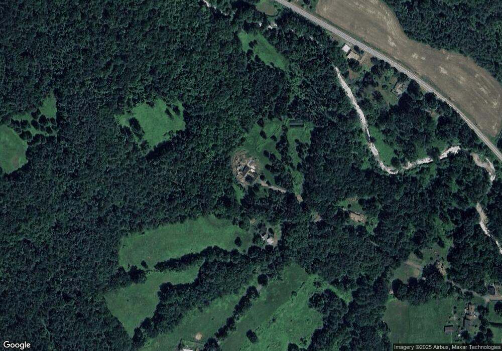
Map
Nearby Homes
- 0 Pleasant St
- 14 River St
- 473 N Poland Rd
- lot 1 Shelburne Falls Rd
- 85 Dacey Rd
- 240 Beldingville Rd
- 71 Mathews Rd
- 1531 Williamsburg Rd
- 230 S Ashfield Rd
- 820 E Guinea Rd
- 30 Lee Rd
- 0 Sears Rd Unit 73373850
- 345 Greenfield Rd
- 208 Greenfield Rd
- 220 Hawley Rd
- 102 Elm St
- 24 Elm St
- 0 Ashfield Rd
- 13 Capt Lathrop Dr
- 0 North St Unit 73407299
- 134 Main Poland Rd
- 94 Main Poland Rd
- 315 Ashfield Rd
- 283 Ashfield Rd
- 397 Ashfield Rd
- 269 Ashfield Rd
- 356 Ashfield Rd
- 46 Main Poland Rd
- 234 Main Poland Rd
- 204 Ashfield Rd
- 10 Manning Rd
- 468 Ashfield Rd
- 30 Manning Rd
- 230 Ashfield Rd
- 48 Manning Rd
- 40 Manning Rd
- 283 Main Poland Rd
- 12 Main Poland Rd
- 166 Orchard St
- 177 Delabarre Ave