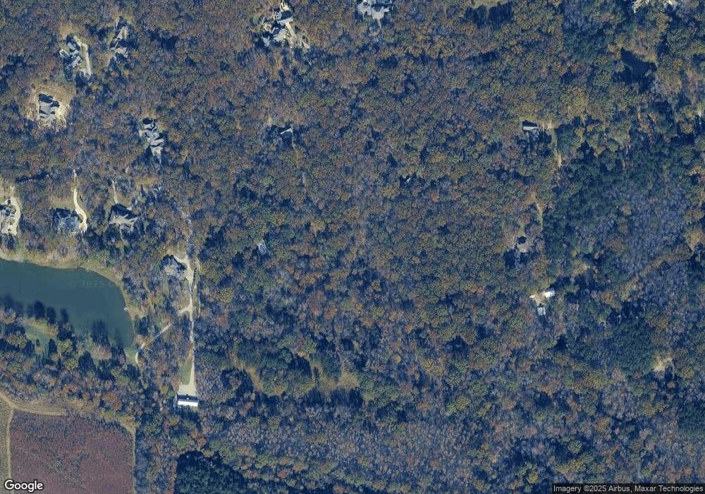
120 Noahs Mill Rd Madison, MS 39110
Estimated Value: $437,000 - $1,082,000
Studio
5
Baths
2,683
Sq Ft
$260/Sq Ft
Est. Value
About This Home
This home is located at 120 Noahs Mill Rd, Madison, MS 39110 and is currently estimated at $696,568, approximately $259 per square foot. 120 Noahs Mill Rd is a home located in Madison County with nearby schools including Canton High School.
Ownership History
Date
Name
Owned For
Owner Type
Purchase Details
Closed on
Oct 7, 2016
Sold by
G S Holdings Inc
Bought by
Helmick Randall W
Current Estimated Value
Purchase Details
Closed on
Apr 14, 2014
Sold by
Sharpe Michael Lewis
Bought by
G S Holdings Inc
Purchase Details
Closed on
Jul 30, 2012
Sold by
Landrum Thomas D and Landrum Jill B
Bought by
Helmick Randall W and Correro Carolyn R
Purchase Details
Closed on
Jun 13, 2008
Sold by
Landrum Thomas D and Landrum Jill B
Bought by
David Landrum Properties Llc
Home Financials for this Owner
Home Financials are based on the most recent Mortgage that was taken out on this home.
Original Mortgage
$1,964,438
Interest Rate
6.04%
Mortgage Type
Purchase Money Mortgage
Create a Home Valuation Report for This Property
The Home Valuation Report is an in-depth analysis detailing your home's value as well as a comparison with similar homes in the area
Purchase History
| Date | Buyer | Sale Price | Title Company |
|---|---|---|---|
| Helmick Randall W | -- | None Available | |
| G S Holdings Inc | -- | None Available | |
| Helmick Randall W | -- | None Available | |
| David Landrum Properties Llc | -- | None Available | |
| Landrum Thomas D | -- | None Available |
Source: Public Records
Mortgage History
| Date | Status | Borrower | Loan Amount |
|---|---|---|---|
| Previous Owner | Landrum Thomas D | $1,964,438 | |
| Previous Owner | David Landrum Properties Llc | $1,455,000 |
Source: Public Records
Tax History
| Year | Tax Paid | Tax Assessment Tax Assessment Total Assessment is a certain percentage of the fair market value that is determined by local assessors to be the total taxable value of land and additions on the property. | Land | Improvement |
|---|---|---|---|---|
| 2025 | $2,433 | $31,431 | $0 | $0 |
| 2024 | $2,724 | $34,168 | $0 | $0 |
| 2023 | $2,710 | $34,197 | $0 | $0 |
| 2022 | $2,713 | $34,227 | $0 | $0 |
| 2021 | $2,478 | $33,044 | $0 | $0 |
| 2020 | $3,169 | $33,078 | $0 | $0 |
| 2019 | $3,173 | $33,116 | $0 | $0 |
| 2018 | $3,306 | $34,387 | $0 | $0 |
| 2017 | $7,915 | $33,843 | $0 | $0 |
| 2016 | $3,159 | $33,507 | $0 | $0 |
| 2015 | $3,020 | $33,454 | $0 | $0 |
| 2014 | $2,732 | $33,409 | $0 | $0 |
Source: Public Records
Map
Nearby Homes
- 100 Stonebridge Dr
- 3 Somerset Dr Unit 3
- 104 Chamberlin Ct
- 102 Heron's Bay Cir
- 107 Martinique Dr
- 54 Windermere Blvd
- 97 Chestnut Hill Rd
- 177 Chestnut Hill Rd
- 118 Grayson Way
- 114 Grayson Way
- 124 Saint Croix Ln
- 57 Windermere Blvd
- 116 Springs Crossing
- 119 Saint Lucia Dr
- 105 Grayson Way Unit Lot 1391
- 104 Grayson Way
- 0 Harbor View Dr Unit 4137745
- 100 Grayson Way
- 122 Spring's Crossing Unit Lot 1200
- 128 Charlton Dr
- 120 Noah's Mill Rd
- 120 Noahs Mill Rd
- 120 Noah's Mill Rd Unit B
- 120 Noah''S Mill Rd
- 120 Noah''S Mill Rd
- 140 Noah''S Mill Rd
- 11 Noah''S Mill Rd Unit PT 10B
- 10 Noah''S Mill Rd Unit PT 10
- 11 Noah''S Mill Rd
- 10 Noah''S Mill Rd
- 220 Persimmon Ln
- 172 Persimmon Ln
- 119 Noahs Mill Rd
- 119 Noah''S Mill Rd
- 0 Noah''S Mill Rd Unit Lot 11 1198674
- 0 Noah''S Mill Rd Unit LOT 1 1187390
- 0 Noah''S Mill Rd Unit 1 1286669
- 0 Noah''S Mill Rd Unit Lot 11 1197515
- 0 Noah''S Mill Rd Unit lot 4 1164027
- 0 Noah''S Mill Rd Unit LOT 4 1191504
