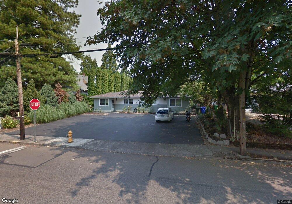
1200 SE Roberts Ave Unit 1202 Gresham, OR 97080
Historic Southeast NeighborhoodEstimated Value: $457,945 - $521,000
4
Beds
2
Baths
1,924
Sq Ft
$256/Sq Ft
Est. Value
About This Home
This home is located at 1200 SE Roberts Ave Unit 1202, Gresham, OR 97080 and is currently estimated at $492,236, approximately $255 per square foot. 1200 SE Roberts Ave Unit 1202 is a home located in Multnomah County with nearby schools including East Gresham Elementary School, Dexter McCarty Middle School, and Gresham High School.
Ownership History
Date
Name
Owned For
Owner Type
Purchase Details
Closed on
Nov 29, 2004
Sold by
Maxon Troy R
Bought by
Anunsen John F S
Current Estimated Value
Home Financials for this Owner
Home Financials are based on the most recent Mortgage that was taken out on this home.
Original Mortgage
$140,200
Outstanding Balance
$69,899
Interest Rate
5.87%
Mortgage Type
Unknown
Estimated Equity
$422,337
Create a Home Valuation Report for This Property
The Home Valuation Report is an in-depth analysis detailing your home's value as well as a comparison with similar homes in the area
Home Values in the Area
Average Home Value in this Area
Purchase History
| Date | Buyer | Sale Price | Title Company |
|---|---|---|---|
| Anunsen John F S | $187,000 | Transnation Title Agency Or |
Source: Public Records
Mortgage History
| Date | Status | Borrower | Loan Amount |
|---|---|---|---|
| Open | Anunsen John F S | $140,200 |
Source: Public Records
Tax History
| Year | Tax Paid | Tax Assessment Tax Assessment Total Assessment is a certain percentage of the fair market value that is determined by local assessors to be the total taxable value of land and additions on the property. | Land | Improvement |
|---|---|---|---|---|
| 2025 | $4,932 | $242,380 | -- | -- |
| 2024 | $4,722 | $235,330 | -- | -- |
| 2023 | $4,302 | $228,480 | $0 | $0 |
| 2022 | $4,182 | $221,830 | $0 | $0 |
| 2021 | $4,076 | $215,370 | $0 | $0 |
| 2020 | $3,835 | $209,100 | $0 | $0 |
| 2019 | $3,735 | $203,010 | $0 | $0 |
| 2018 | $3,561 | $197,100 | $0 | $0 |
| 2017 | $3,417 | $191,360 | $0 | $0 |
| 2016 | $3,012 | $185,790 | $0 | $0 |
Source: Public Records
Map
Nearby Homes
- 511 SE 15th St
- 1691 SE Cedar Creek Place
- 1918 SE Regner Rd
- 1407 SE Beech Place
- 955 SE Hogan Rd
- 1949 SE Palmquist Rd Unit 51
- 1949 SE Palmquist Rd Unit 91
- 1949 SE Palmquist Rd Unit 7
- 1949 SE Palmquist Rd Unit 121
- 55 SW Lovhar Dr
- 420 SE Linden Ave
- 0 SW Miller Ct Unit 470855683
- 2137 SE 15th Aly
- 417 SE Roberts Ave
- 2170 SE 16th St
- 1715 SE 5th St Unit 1725
- 2220 SE 16th St
- 2125 SE 18th Aly
- 2293 SE 15th Aly
- 2573 SE Morlan Way
- 1142 SE Roberts Ave
- 1230 SE Roberts Ave
- 1242 SE Roberts Ave Unit 1246
- 1140 SE Spruce Ct
- 1130 SE Roberts Ave Unit 1132
- 1130 SE Spruce Ct
- 1221 SE Roberts Ave
- 1120 SE Roberts Ave
- 1250 SE Roberts Ave
- 1245 SE Roberts Ave
- 1141 SE Roberts Ave
- 1120 SE Spruce Ct
- 1251 SE Stapleton Loop
- 1119 SE Roberts Ave
- 3750 38th St
- 3787 40th St
- 1102 SE Roberts Ave
- 1070 SE Spruce Ct
- 1265 SE Roberts Ave
- 1115 SE Roberts Ave
Your Personal Tour Guide
Ask me questions while you tour the home.