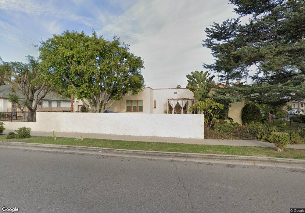
1201 Central Ave Fullerton, CA 92831
Lower Raymond Hills NeighborhoodEstimated Value: $996,000 - $1,100,000
About This Home
This home is located at 1201 Central Ave, Fullerton, CA 92831 and is currently estimated at $1,052,731, approximately $663 per square foot. 1201 Central Ave is a home located in Orange County with nearby schools including Raymond Elementary School, Ladera Vista Junior High School, and Troy High School.
Ownership History
We collect this data history from publicly available records. To have your information removed, we recommend requesting removal directly through your county’s website.
Purchase Details
Home Financials for this Owner
Home Financials are based on the most recent Mortgage that was taken out on this home.Home Values in the Area
Average Home Value in this Area
Purchase History
We collect this data history from publicly available records. To have your information removed, we recommend requesting removal directly through your county’s website.
| Date | Buyer | Sale Price | Title Company |
|---|---|---|---|
| $184,000 | Old Republic Title Company |
Mortgage History
We collect this data history from publicly available records. To have your information removed, we recommend requesting removal directly through your county’s website.
| Date | Status | Borrower | Loan Amount |
|---|---|---|---|
| Open | $147,200 |
Tax History
We collect this data history from publicly available records. To have your information removed, we recommend requesting removal directly through your county’s website.
| Year | Tax Paid | Tax Assessment Tax Assessment Total Assessment is a certain percentage of the fair market value that is determined by local assessors to be the total taxable value of land and additions on the property. | Land | Improvement |
|---|---|---|---|---|
| 2025 | $3,451 | $299,665 | $243,571 | $56,094 |
| 2024 | $3,451 | $293,790 | $238,795 | $54,995 |
| 2023 | $3,365 | $288,030 | $234,113 | $53,917 |
| 2022 | $3,337 | $282,383 | $229,523 | $52,860 |
| 2021 | $3,279 | $276,847 | $225,023 | $51,824 |
| 2020 | $3,259 | $274,009 | $222,716 | $51,293 |
| 2019 | $3,178 | $268,637 | $218,349 | $50,288 |
| 2018 | $3,129 | $263,370 | $214,068 | $49,302 |
| 2017 | $3,076 | $258,206 | $209,870 | $48,336 |
| 2016 | $3,013 | $253,144 | $205,755 | $47,389 |
| 2015 | $2,930 | $249,342 | $202,664 | $46,678 |
| 2014 | $2,845 | $244,458 | $198,694 | $45,764 |
Map
- 530 Stanford Ave
- 1331 Victoria Dr Unit 19
- 1331 Victoria Dr
- 520 N Cornell Ave
- 1356 Victoria Dr Unit D
- 1104 E Wilshire Ave
- 111 N Stanford Ave
- 714 E Chapman Ave
- 1006 N Cornell Ave
- 912 E Commonwealth Ave
- 118 N Ashford Place
- 1706 Central Ave
- 705 E Santa fe Ave
- 807 Dorothy Ln
- 701 Maertin Ln
- 400 N Acacia Ave Unit B10
- 400 N Acacia Ave Unit C39
- 400 N Acacia Ave Unit B12
- 1012 Maertin Ln
- 1784 E Commonwealth Ave
- 520 N Raymond Ave
- 1209 Central Ave
- 1213 Central Ave
- 524 N Raymond Ave
- 1208 Grove Place
- 510 N Raymond Ave
- 1204 Central Ave
- 1212 Grove Place
- 1217 Central Ave
- 1210 Central Ave
- 1216 Grove Place
- 1221 Central Ave
- 1207 E Chapman Ave
- 1214 Central Ave
- 600 N Raymond Ave
- 1220 Grove Place
- 1201 E Chapman Ave
- 1225 Central Ave
- 1211 Grove Place
- 1222 Central Ave
Ask me questions while you tour the home.