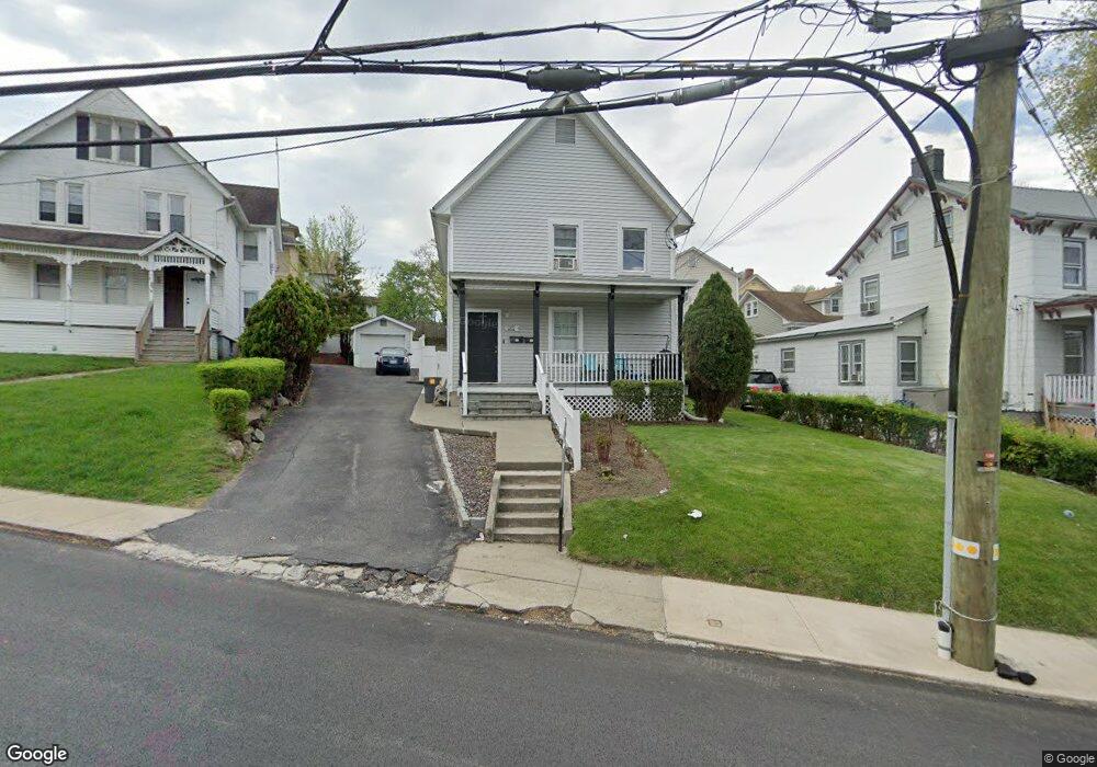
1201 Maple Ave Peekskill, NY 10566
Estimated Value: $425,390 - $659,000
Studio
--
Bath
2,100
Sq Ft
$256/Sq Ft
Est. Value
About This Home
This home is located at 1201 Maple Ave, Peekskill, NY 10566 and is currently estimated at $538,348, approximately $256 per square foot. 1201 Maple Ave is a home located in Westchester County with nearby schools including Oakside School, Woodside Elementary School, and Hillcrest School.
Ownership History
Date
Name
Owned For
Owner Type
Purchase Details
Closed on
Jan 24, 2009
Sold by
Pena Saul and Macao Nelly E
Bought by
Ortiz Raul
Current Estimated Value
Home Financials for this Owner
Home Financials are based on the most recent Mortgage that was taken out on this home.
Original Mortgage
$333,968
Interest Rate
5.26%
Mortgage Type
FHA
Purchase Details
Closed on
Apr 20, 2000
Sold by
Langer Randy J
Bought by
Rostad Harold and Rostad Deborah
Home Financials for this Owner
Home Financials are based on the most recent Mortgage that was taken out on this home.
Original Mortgage
$173,914
Interest Rate
8.12%
Mortgage Type
FHA
Create a Home Valuation Report for This Property
The Home Valuation Report is an in-depth analysis detailing your home's value as well as a comparison with similar homes in the area
Home Values in the Area
Average Home Value in this Area
Purchase History
| Date | Buyer | Sale Price | Title Company |
|---|---|---|---|
| Ortiz Raul | $345,500 | None Available | |
| Rostad Harold | $174,900 | -- |
Source: Public Records
Mortgage History
| Date | Status | Borrower | Loan Amount |
|---|---|---|---|
| Previous Owner | Ortiz Raul | $333,968 | |
| Previous Owner | Rostad Harold | $173,914 |
Source: Public Records
Tax History
| Year | Tax Paid | Tax Assessment Tax Assessment Total Assessment is a certain percentage of the fair market value that is determined by local assessors to be the total taxable value of land and additions on the property. | Land | Improvement |
|---|---|---|---|---|
| 2024 | $8,850 | $8,500 | $2,000 | $6,500 |
| 2023 | $8,681 | $8,500 | $2,000 | $6,500 |
| 2022 | $8,474 | $8,500 | $2,000 | $6,500 |
| 2021 | $9,986 | $8,500 | $2,000 | $6,500 |
| 2020 | $7,733 | $8,500 | $2,000 | $6,500 |
| 2019 | $7,310 | $8,500 | $2,000 | $6,500 |
| 2018 | $1,708 | $8,500 | $2,000 | $6,500 |
| 2017 | $0 | $8,500 | $2,000 | $6,500 |
| 2016 | $6,386 | $8,500 | $2,000 | $6,500 |
| 2015 | -- | $8,500 | $2,000 | $6,500 |
| 2014 | $2,877 | $8,500 | $2,000 | $6,500 |
| 2013 | $2,877 | $8,500 | $2,000 | $6,500 |
Source: Public Records
Map
Nearby Homes
- 1204 Main St
- 108 Union Ave
- 1463 Lincoln Terrace
- 1605 Crompond Rd
- 334 Union Ave
- 956 Paulding St
- 1106 Orchard St
- 150 Overlook Ave Unit 4L
- 150 Overlook Ave Unit 1S
- 150 Overlook Ave Unit 6L
- 1731 Maple Ave
- 1701 Crompond Rd Unit 6304
- 728 Frost Ave
- 710 Main St
- 6102 Villa at the Woods
- 357 Dyckman St
- 5209 Villa at the Woods
- 1716A Main St
- 925 Constant Ave
- 2409 Villa at the Woods
Your Personal Tour Guide
Ask me questions while you tour the home.