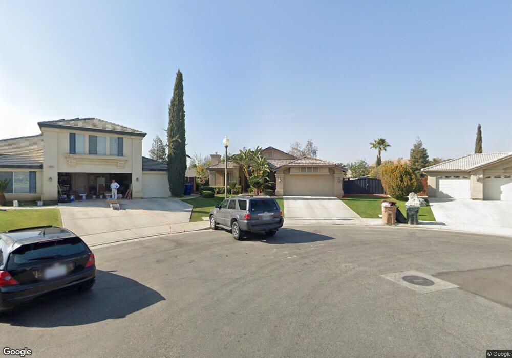
12014 Damask St Bakersfield, CA 93312
Brimhall Estates NeighborhoodEstimated Value: $466,253 - $497,000
3
Beds
2
Baths
1,951
Sq Ft
$249/Sq Ft
Est. Value
About This Home
This home is located at 12014 Damask St, Bakersfield, CA 93312 and is currently estimated at $486,063, approximately $249 per square foot. 12014 Damask St is a home located in Kern County with nearby schools including American Elementary School, Rosedale Middle School, and Liberty High School.
Ownership History
Date
Name
Owned For
Owner Type
Purchase Details
Closed on
Sep 24, 2003
Sold by
Stonington Village Lp
Bought by
Arreola Hector
Current Estimated Value
Home Financials for this Owner
Home Financials are based on the most recent Mortgage that was taken out on this home.
Original Mortgage
$177,350
Interest Rate
5.57%
Mortgage Type
Purchase Money Mortgage
Create a Home Valuation Report for This Property
The Home Valuation Report is an in-depth analysis detailing your home's value as well as a comparison with similar homes in the area
Home Values in the Area
Average Home Value in this Area
Purchase History
| Date | Buyer | Sale Price | Title Company |
|---|---|---|---|
| Arreola Hector | $222,000 | Ticor Title |
Source: Public Records
Mortgage History
| Date | Status | Borrower | Loan Amount |
|---|---|---|---|
| Closed | Arreola Hector | $22,168 | |
| Previous Owner | Arreola Hector | $177,350 |
Source: Public Records
Tax History
| Year | Tax Paid | Tax Assessment Tax Assessment Total Assessment is a certain percentage of the fair market value that is determined by local assessors to be the total taxable value of land and additions on the property. | Land | Improvement |
|---|---|---|---|---|
| 2025 | $4,965 | $315,613 | $71,078 | $244,535 |
| 2024 | $4,869 | $309,426 | $69,685 | $239,741 |
| 2023 | $4,869 | $303,360 | $68,319 | $235,041 |
| 2022 | $4,780 | $297,413 | $66,980 | $230,433 |
| 2021 | $4,630 | $291,582 | $65,667 | $225,915 |
| 2020 | $4,555 | $288,593 | $64,994 | $223,599 |
| 2019 | $4,483 | $288,593 | $64,994 | $223,599 |
| 2018 | $4,367 | $277,388 | $62,471 | $214,917 |
| 2017 | $4,573 | $271,950 | $61,247 | $210,703 |
| 2016 | $4,313 | $266,619 | $60,047 | $206,572 |
| 2015 | $4,254 | $262,616 | $59,146 | $203,470 |
| 2014 | $4,177 | $257,473 | $57,988 | $199,485 |
Source: Public Records
Map
Nearby Homes
- 12008 Stonington St
- 12204 Tule River Way
- 12303 Fairburn Way
- 12307 Fairburn Way
- 12010 Winger St
- 12023 Winger St
- 11808 Wethersfield St
- 12403 Portebello Dr
- 307 Coachman Way
- 243 Bloomfield Dr Unit 3
- 12302 Abercromby Dr
- 11508 Alton Manor Dr
- 1113 Invermay St
- 12608 Fallstaff Ln
- 12401 Longmeadow Way
- 12700 Clay Creek Ct
- 12002 Nicolson Ave
- 12812 Yankton Ct
- 334 Hollyhill Dr
- 420 Hollyhill Dr
- 12010 Damask St
- 12102 Fairburn Way
- 12015 Damask St
- 12106 Fairburn Way
- 12101 Stonington St
- 12017 Stonington St
- 12105 Stonington St
- 12013 Stonington St
- 12011 Damask St
- 12103 Fairburn Way
- 12109 Stonington St
- 12002 Damask St
- 12007 Damask St
- 12009 Stonington St
- 12110 Fairburn Way
- 12113 Stonington St
- 12003 Damask St
- 12107 Fairburn Way
- 12001 Stonington St
- 12114 Fairburn Way
Your Personal Tour Guide
Ask me questions while you tour the home.