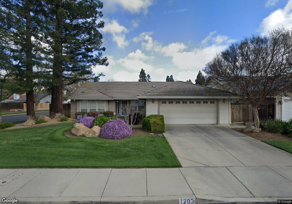
1203 Billie Ct Merced, CA 95340
North Merced NeighborhoodEstimated Value: $524,000 - $579,000
About This Home
This home is located at 1203 Billie Ct, Merced, CA 95340 and is currently estimated at $555,017, approximately $255 per square foot. 1203 Billie Ct is a home located in Merced County with nearby schools including Allan Peterson Elementary School, Herbert H. Cruickshank Middle School, and Merced High School.
Ownership History
We collect this data history from publicly available records. To have your information removed, we recommend requesting removal directly through your county’s website.
Purchase Details
Home Financials for this Owner
Home Financials are based on the most recent Mortgage that was taken out on this home.Purchase Details
Home Financials for this Owner
Home Financials are based on the most recent Mortgage that was taken out on this home.Purchase Details
Home Financials for this Owner
Home Financials are based on the most recent Mortgage that was taken out on this home.Home Values in the Area
Average Home Value in this Area
Purchase History
We collect this data history from publicly available records. To have your information removed, we recommend requesting removal directly through your county’s website.
| Date | Buyer | Sale Price | Title Company |
|---|---|---|---|
| $387,500 | Transcounty Title Company | ||
| -- | Transcounty Title Company | ||
| -- | Transcounty Title Company |
Mortgage History
We collect this data history from publicly available records. To have your information removed, we recommend requesting removal directly through your county’s website.
| Date | Status | Borrower | Loan Amount |
|---|---|---|---|
| Open | $257,500 | ||
| Previous Owner | $110,000 |
Tax History
We collect this data history from publicly available records. To have your information removed, we recommend requesting removal directly through your county’s website.
| Year | Tax Paid | Tax Assessment Tax Assessment Total Assessment is a certain percentage of the fair market value that is determined by local assessors to be the total taxable value of land and additions on the property. | Land | Improvement |
|---|---|---|---|---|
| 2025 | $5,730 | $540,122 | $139,381 | $400,741 |
| 2024 | $5,730 | $529,533 | $136,649 | $392,884 |
| 2023 | $5,647 | $519,151 | $133,970 | $385,181 |
| 2022 | $5,567 | $508,973 | $131,344 | $377,629 |
| 2021 | $4,637 | $416,000 | $85,000 | $331,000 |
| 2020 | $4,661 | $411,000 | $80,000 | $331,000 |
| 2019 | $4,446 | $390,000 | $65,000 | $325,000 |
| 2018 | $3,846 | $362,000 | $55,000 | $307,000 |
| 2017 | $3,833 | $341,500 | $45,000 | $296,500 |
| 2016 | $3,734 | $333,000 | $45,000 | $288,000 |
| 2015 | $3,761 | $336,000 | $45,000 | $291,000 |
| 2014 | $3,357 | $300,000 | $30,000 | $270,000 |
Map
- 1165 Inspiration Point Ct
- 1177 Mirror Lake Dr
- 3442 Joerg Ave
- 1048 Vernal Ave
- 3557 Century Cir
- 3583 Vernal Ave
- 692 Gateway Cir
- 672 Gateway Cir
- 3680 Black Hawk Ave
- 3332 Shamrock Place
- 1833 La Quinta Ct
- 639 Royal Arch Ct
- 3351 Banbury Ln
- 1908 Fall Brook Ct
- 3342 Banbury Ln
- 582 Sunset Dr
- 1445 Brookdale Dr
- 3314 Robin Hood Ln
- 785 Kinglet Ct
- 3882 Pintail Ct
- 3506 Joerg Ave
- 1212 Billie Ct
- 3480 Joerg Ave
- 1213 E Donna Dr
- 1222 Billie Ct
- 1162 Brownie Ct
- 3503 Joerg Ave
- 1213 Billie Ct
- 1221 E Donna Dr
- 1171 E Donna Dr
- 1232 Billie Ct
- 1223 Billie Ct
- 3519 Joerg Ave
- 1152 Brownie Ct
- 1163 Brownie Ct
- 1233 Billie Ct
- 1231 E Donna Dr
- 1204 Ahwahnee Dr
- 1242 Billie Ct
- 1214 Ahwahnee Dr
Ask me questions while you tour the home.