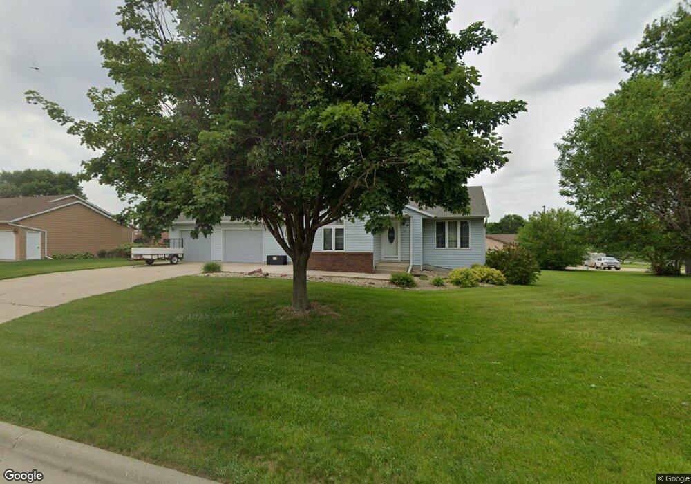
1203 S Carroll St Rock Rapids, IA 51246
Estimated Value: $278,000 - $325,000
3
Beds
2
Baths
1,944
Sq Ft
$152/Sq Ft
Est. Value
About This Home
This home is located at 1203 S Carroll St, Rock Rapids, IA 51246 and is currently estimated at $295,429, approximately $151 per square foot. 1203 S Carroll St is a home located in Lyon County with nearby schools including Central Lyon Elementary School, Central Lyon Senior High School, and Ignite Christian Academy.
Ownership History
Date
Name
Owned For
Owner Type
Purchase Details
Closed on
Sep 19, 2024
Sold by
Seldon Penny M and Moeller Phyllis J
Bought by
Stump Tim
Current Estimated Value
Purchase Details
Closed on
Aug 2, 2023
Sold by
Moeller Phyllis J
Bought by
Moeller Kerry L and Moeller Holly K
Purchase Details
Closed on
Nov 29, 2017
Sold by
Huisman Mary M
Bought by
Moeller Phyllis J
Purchase Details
Closed on
Jun 29, 2015
Sold by
Brwer Terry
Bought by
Huisman Mary M
Create a Home Valuation Report for This Property
The Home Valuation Report is an in-depth analysis detailing your home's value as well as a comparison with similar homes in the area
Home Values in the Area
Average Home Value in this Area
Purchase History
| Date | Buyer | Sale Price | Title Company |
|---|---|---|---|
| Stump Tim | $279,000 | None Listed On Document | |
| Moeller Kerry L | -- | None Listed On Document | |
| Moeller Kerry L | -- | None Listed On Document | |
| Moeller Phyllis J | $185,000 | None Available | |
| Huisman Mary M | $160,000 | None Available |
Source: Public Records
Tax History Compared to Growth
Tax History
| Year | Tax Paid | Tax Assessment Tax Assessment Total Assessment is a certain percentage of the fair market value that is determined by local assessors to be the total taxable value of land and additions on the property. | Land | Improvement |
|---|---|---|---|---|
| 2025 | $3,542 | $261,560 | $35,880 | $225,680 |
| 2024 | $3,348 | $242,430 | $35,880 | $206,550 |
| 2023 | $3,016 | $242,430 | $35,880 | $206,550 |
| 2022 | $3,048 | $188,920 | $35,880 | $153,040 |
| 2021 | $3,048 | $188,920 | $35,880 | $153,040 |
| 2020 | $3,512 | $184,110 | $35,880 | $148,230 |
| 2019 | $3,676 | $185,070 | $0 | $0 |
| 2018 | $3,608 | $185,070 | $0 | $0 |
| 2017 | $3,608 | $168,970 | $0 | $0 |
| 2016 | $3,334 | $168,970 | $0 | $0 |
| 2015 | $3,334 | $167,628 | $0 | $0 |
| 2014 | -- | $167,628 | $0 | $0 |
Source: Public Records
Map
Nearby Homes
- 1011 S Marshall St
- 903 S Jansen St
- 706 S 9th Ave
- 811 S Carroll St
- 204 S 15th Ave
- 1002 S Tama St
- 610 S Carroll St
- 606 S Carroll St
- 1100 S 6th Ave
- 1104 S 6th Ave
- 507 S Greene St
- 1004 S 6th Ave
- 1102 S 6th Ave
- 1006 S 6th Ave
- 1002 S 6th Ave
- 410 S Union St
- 406 S Adams St
- 803 Mill Pond Rd
- 504 Mill Pond Rd
- 505 Mill Pond Rd Unit 1
- 1201 S Carroll St
- 1205 S Carroll St
- 510 S 12th Ave
- 704 S 12th Ave
- 1204 S Carroll St
- 1206 S Carroll St
- 1301 S Carroll St
- 508 S 12th Ave
- 1109 S Carroll St
- 1302 S Carroll St
- 506 S 12th Ave
- 1303 S Carroll St
- 1304 S Carroll St
- 1107 S Carroll St
- 1302 S Union St
- 1203 S Greene St
- 504 S 12th Ave
- 1301 S Greene St
- 503 S 13th Ave
- 1108 S Carroll St