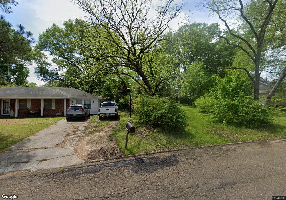
1204 Torbert Dr West Point, MS 39773
Estimated Value: $165,000 - $179,000
3
Beds
--
Bath
1,410
Sq Ft
$122/Sq Ft
Est. Value
About This Home
This home is located at 1204 Torbert Dr, West Point, MS 39773 and is currently estimated at $172,531, approximately $122 per square foot. 1204 Torbert Dr is a home located in Clay County with nearby schools including East Side Elementary School, West Clay Elementary School, and Church Hill Elementary School.
Ownership History
Date
Name
Owned For
Owner Type
Purchase Details
Closed on
Aug 3, 2022
Sold by
Stephen Young James
Bought by
Cummings John Charles and Cummings Margaret
Current Estimated Value
Home Financials for this Owner
Home Financials are based on the most recent Mortgage that was taken out on this home.
Original Mortgage
$129,494
Outstanding Balance
$123,332
Interest Rate
5.7%
Mortgage Type
New Conventional
Estimated Equity
$49,199
Purchase Details
Closed on
May 6, 2022
Sold by
Young Rita H
Bought by
Young James Stephen
Create a Home Valuation Report for This Property
The Home Valuation Report is an in-depth analysis detailing your home's value as well as a comparison with similar homes in the area
Purchase History
| Date | Buyer | Sale Price | Title Company |
|---|---|---|---|
| Cummings John Charles | -- | None Listed On Document | |
| Young James Stephen | -- | None Listed On Document |
Source: Public Records
Mortgage History
| Date | Status | Borrower | Loan Amount |
|---|---|---|---|
| Open | Cummings John Charles | $129,494 |
Source: Public Records
Tax History
| Year | Tax Paid | Tax Assessment Tax Assessment Total Assessment is a certain percentage of the fair market value that is determined by local assessors to be the total taxable value of land and additions on the property. | Land | Improvement |
|---|---|---|---|---|
| 2025 | $377 | $9,721 | $1,786 | $7,935 |
| 2024 | $377 | $9,721 | $1,786 | $7,935 |
| 2023 | $1,225 | $8,186 | $1,786 | $6,400 |
| 2022 | $296 | $8,186 | $1,786 | $6,400 |
| 2021 | $295 | $8,186 | $1,786 | $6,400 |
| 2020 | $295 | $8,186 | $1,786 | $6,400 |
| 2019 | $270 | $8,128 | $1,786 | $6,342 |
| 2018 | $253 | $8,128 | $1,786 | $6,342 |
| 2017 | $252 | $8,128 | $1,786 | $6,342 |
| 2016 | $237 | $8,128 | $1,786 | $6,342 |
| 2015 | $214 | $7,328 | $1,786 | $5,542 |
| 2014 | $164 | $7,328 | $1,786 | $5,542 |
| 2013 | $164 | $7,328 | $1,786 | $5,542 |
Source: Public Records
Map
Nearby Homes
- 44 Torbert Dr
- 405 S Eshman Ave
- 472 S Eshman Ave
- 507 S Eshman Ave
- 1046 E Brame Ave
- 329 Converse Dr
- 278 Converse Dr
- 228 Mccord St
- 105 Converse Dr
- 15 David St
- 341 Mccord St
- 913 E Westbrook St
- 389 Mapleview Rd
- 551 E Westbrook St
- 264 Mapleview Rd
- 238 Calhoun St
- 26596 E Main St
- 27045 E Main St
- 161 Mapleview Rd
- 440 Calhoun St
- 1208 Torbert Dr
- 380 S Eshman Ave
- 45 Torbert Dr
- 615 Avalon St
- 1212 Torbert Dr
- 1207 Torbert Dr
- 620 S Eshman Ave
- 617 Avalon St
- 360 S Eshman Ave
- 730 S Eshman Ave
- 1213 Torbert Dr
- 621 Avalon St
- 619 Avalon St
- 610 S Eshman Ave
- 1304 Torbert Dr
- 715 S Eshman Ave
- 519 Avalon St
- 242 Avalon St
- 1303 Torbert Dr
- 383 S Eshman Ave
Your Personal Tour Guide
Ask me questions while you tour the home.