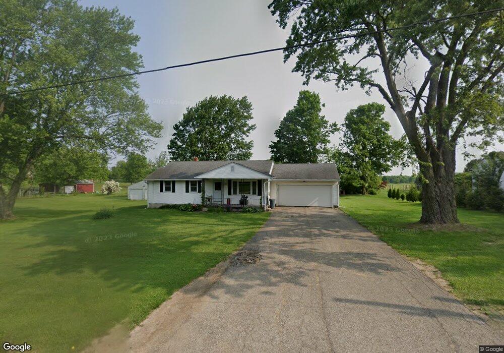
1205 Keefer Rd Mansfield, OH 44903
Estimated Value: $176,374 - $197,000
3
Beds
1
Bath
1,080
Sq Ft
$175/Sq Ft
Est. Value
About This Home
This home is located at 1205 Keefer Rd, Mansfield, OH 44903 and is currently estimated at $188,844, approximately $174 per square foot. 1205 Keefer Rd is a home located in Richland County with nearby schools including Lucas Elementary School, Lucas Heritage Middle School, and Lucas High School.
Ownership History
Date
Name
Owned For
Owner Type
Purchase Details
Closed on
Jun 21, 2004
Sold by
Anderson Robert A and Anderson Christine G
Bought by
Westfield Stephen S and Westfield Sara G
Current Estimated Value
Home Financials for this Owner
Home Financials are based on the most recent Mortgage that was taken out on this home.
Original Mortgage
$50,000
Interest Rate
6.17%
Mortgage Type
Purchase Money Mortgage
Purchase Details
Closed on
Sep 8, 1993
Sold by
Anderson Richard
Bought by
Anderson Rosamond
Create a Home Valuation Report for This Property
The Home Valuation Report is an in-depth analysis detailing your home's value as well as a comparison with similar homes in the area
Home Values in the Area
Average Home Value in this Area
Purchase History
| Date | Buyer | Sale Price | Title Company |
|---|---|---|---|
| Westfield Stephen S | $85,000 | Chicago Title | |
| Anderson Rosamond | -- | -- |
Source: Public Records
Mortgage History
| Date | Status | Borrower | Loan Amount |
|---|---|---|---|
| Closed | Westfield Stephen S | $50,000 |
Source: Public Records
Tax History
| Year | Tax Paid | Tax Assessment Tax Assessment Total Assessment is a certain percentage of the fair market value that is determined by local assessors to be the total taxable value of land and additions on the property. | Land | Improvement |
|---|---|---|---|---|
| 2024 | $1,921 | $45,060 | $5,540 | $39,520 |
| 2023 | $1,920 | $45,060 | $5,540 | $39,520 |
| 2022 | $1,598 | $32,040 | $4,760 | $27,280 |
| 2021 | $1,623 | $32,040 | $4,760 | $27,280 |
| 2020 | $1,542 | $32,040 | $4,760 | $27,280 |
| 2019 | $1,382 | $26,850 | $3,990 | $22,860 |
| 2018 | $1,421 | $26,850 | $3,990 | $22,860 |
| 2017 | $1,430 | $26,850 | $3,990 | $22,860 |
| 2016 | $1,282 | $24,110 | $3,400 | $20,710 |
| 2015 | $1,282 | $24,110 | $3,400 | $20,710 |
| 2014 | $1,240 | $24,110 | $3,400 | $20,710 |
| 2012 | $1,243 | $24,850 | $3,500 | $21,350 |
Source: Public Records
Map
Nearby Homes
- 744 E Hanley Rd
- 1715 Mansfield Lucas Rd
- 1851 State Route 39
- 0 Woodville Rd Unit Lot 14952, 14953
- 0 Woodville Rd Unit Lot 14954, 14955
- 0 Woodville Rd Unit Lot 14956, 14957,
- 2130 State Route 39
- 2011 Ohio 39
- 0 State Route 39 & I-71 Southeast Quadrant
- 0 State Route 39 & I-71 Northeast Quadrant
- 400 Garver Rd
- St Rt 603
- 1599 S Main St
- 50 Lilac Ct E
- 794 Mansfield Washington Rd
- 27 E Main St
- 28 N Union St
- 1 E Main St
- 2804 Tucker Rd
- 2804 Rd
Your Personal Tour Guide
Ask me questions while you tour the home.