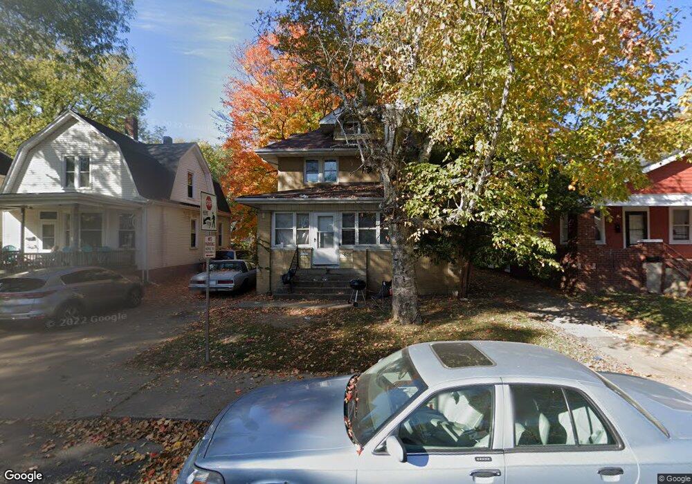
1205 N Frink St Peoria, IL 61606
West Bluff NeighborhoodEstimated Value: $40,000 - $61,000
4
Beds
1
Bath
1,237
Sq Ft
$40/Sq Ft
Est. Value
About This Home
This home is located at 1205 N Frink St, Peoria, IL 61606 and is currently estimated at $49,731, approximately $40 per square foot. 1205 N Frink St is a home with nearby schools including Franklin Primary School, Harold B. Dawson Jr. Middle School, and Peoria High School.
Ownership History
Date
Name
Owned For
Owner Type
Purchase Details
Closed on
Nov 20, 2023
Sold by
Sawyer Torrance
Bought by
Iraheta Fernanda
Current Estimated Value
Purchase Details
Closed on
Nov 19, 2023
Sold by
Sawyer Torrance
Bought by
Iraheta Fernanda
Purchase Details
Closed on
Dec 19, 2018
Sold by
Freidt Anthony W and Freidt Brandy S
Bought by
Awf Holdings Llc
Purchase Details
Closed on
Jan 5, 2007
Bought by
Freidt Anthony W
Create a Home Valuation Report for This Property
The Home Valuation Report is an in-depth analysis detailing your home's value as well as a comparison with similar homes in the area
Home Values in the Area
Average Home Value in this Area
Purchase History
| Date | Buyer | Sale Price | Title Company |
|---|---|---|---|
| Iraheta Fernanda | $33,000 | None Listed On Document | |
| Iraheta Fernanda | $33,000 | None Listed On Document | |
| Awf Holdings Llc | -- | None Listed On Document | |
| Freidt Anthony W | $21,000 | -- |
Source: Public Records
Tax History Compared to Growth
Tax History
| Year | Tax Paid | Tax Assessment Tax Assessment Total Assessment is a certain percentage of the fair market value that is determined by local assessors to be the total taxable value of land and additions on the property. | Land | Improvement |
|---|---|---|---|---|
| 2024 | $1,145 | $12,660 | $3,540 | $9,120 |
| 2023 | $1,685 | $17,910 | $3,250 | $14,660 |
| 2022 | $1,548 | $16,050 | $2,950 | $13,100 |
| 2021 | $1,520 | $15,290 | $2,810 | $12,480 |
| 2020 | $1,517 | $15,140 | $2,780 | $12,360 |
| 2019 | $1,539 | $15,450 | $2,840 | $12,610 |
| 2018 | $1,516 | $15,570 | $2,840 | $12,730 |
| 2017 | $1,516 | $15,730 | $2,870 | $12,860 |
| 2016 | $1,474 | $15,730 | $2,870 | $12,860 |
| 2015 | $1,541 | $15,420 | $2,810 | $12,610 |
| 2014 | $1,541 | $16,740 | $2,800 | $13,940 |
| 2013 | -- | $16,940 | $2,830 | $14,110 |
Source: Public Records
Map
Nearby Homes
- 911 W Russell St
- 1104 N Orange St
- 816 W Columbia Terrace
- 1009 W Armstrong Ave
- 1213 N University St
- 1224 N Douglas St
- 1402 N Broadway St
- 710 W Armstrong Ave
- 1403 W Main St
- 1417 N Sheridan Rd
- 1412 N Sheridan Rd
- 915 W Moss Ave
- 609 W Armstrong Ave
- 1509 W Main St
- 919 W Moss Ave
- 1614 W Columbia Terrace
- 1710 N Machin Ave
- 1027 N Maplewood Ave
- 429 W High St
- 401 W Armstrong Ave
- 1201 N Frink St
- 1207 N Frink St
- 1211 N Frink St
- 1123 N Frink St
- 1204 N Frink St
- 1215 N Frink St
- 1204 N Frink St
- 1121 N Frink St
- 1208 N Frink St
- 1117 N Frink St
- 1200 N Frink St
- 1217 N Frink St
- 1212 N Frink St
- 1122 N Frink St
- 1122 N Frink St Unit 2
- 1204 N Bourland Ave
- 1206 N Bourland Ave
- 1115 N Frink St
- 1218 N Frink St Unit 1220 N FRINK
- 1220 N Frink St