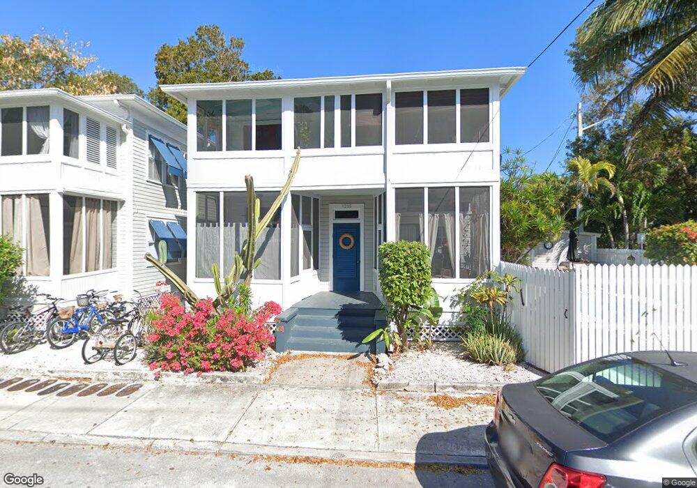
1205 Newton St Unit 4 Key West, FL 33040
The Meadows NeighborhoodEstimated Value: $539,000 - $639,000
1
Bed
1
Bath
442
Sq Ft
$1,331/Sq Ft
Est. Value
About This Home
This home is located at 1205 Newton St Unit 4, Key West, FL 33040 and is currently estimated at $588,106, approximately $1,330 per square foot. 1205 Newton St Unit 4 is a home located in Monroe County with nearby schools including Horace O'Bryant School, Key West High School, and May Sands Montessori School.
Ownership History
Date
Name
Owned For
Owner Type
Purchase Details
Closed on
Jun 8, 1995
Sold by
Vanwieren Alan
Bought by
Willison Malcolm R and Huggins Martha D
Current Estimated Value
Home Financials for this Owner
Home Financials are based on the most recent Mortgage that was taken out on this home.
Original Mortgage
$70,400
Interest Rate
8.21%
Purchase Details
Closed on
May 1, 1986
Bought by
Willison Malcom R
Create a Home Valuation Report for This Property
The Home Valuation Report is an in-depth analysis detailing your home's value as well as a comparison with similar homes in the area
Home Values in the Area
Average Home Value in this Area
Purchase History
| Date | Buyer | Sale Price | Title Company |
|---|---|---|---|
| Willison Malcolm R | $95,400 | -- | |
| Willison Malcom R | $58,900 | -- |
Source: Public Records
Mortgage History
| Date | Status | Borrower | Loan Amount |
|---|---|---|---|
| Closed | Willison Malcolm R | $70,400 |
Source: Public Records
Tax History Compared to Growth
Tax History
| Year | Tax Paid | Tax Assessment Tax Assessment Total Assessment is a certain percentage of the fair market value that is determined by local assessors to be the total taxable value of land and additions on the property. | Land | Improvement |
|---|---|---|---|---|
| 2025 | $3,489 | $481,751 | -- | $481,751 |
| 2024 | $3,446 | $365,513 | -- | $365,513 |
| 2023 | $3,446 | $365,513 | $0 | $365,513 |
| 2022 | $3,183 | $353,220 | $0 | $353,220 |
| 2021 | $3,032 | $308,965 | $0 | $308,965 |
| 2020 | $2,807 | $287,760 | $0 | $287,760 |
| 2019 | $2,616 | $264,490 | $0 | $264,490 |
| 2018 | $2,532 | $264,490 | $0 | $0 |
| 2017 | $2,385 | $244,788 | $0 | $0 |
| 2016 | $2,384 | $244,788 | $0 | $0 |
| 2015 | $2,055 | $163,908 | $0 | $0 |
| 2014 | $2,084 | $163,908 | $0 | $0 |
Source: Public Records
Map
Nearby Homes
- 1220 Newton St Unit 1
- 1217 Petronia St
- 620 White St
- 1317 Newton St
- 709 Frances St
- 702 Florida St
- 814 Ashe St
- 816 Ashe St
- 1017 Angela St
- 1113 Stump Ln
- 1109 Stump Ln
- 1014 Southard St
- 912 Pohalski St
- 1209 Truman Ave Unit 2
- 1209 Truman Ave Unit 5
- 1108 Curry Ln
- 1010 Olivia St
- 905 Grinnell St
- 1022 Fleming St
- 909 Grinnell St
- 1203 Newton St Unit 3
- 1203 Newton St Unit 2
- 1203 Newton St Unit 1
- 1203 Newton St Unit 4
- 1205 Newton St
- 1205 Newton St Unit 3
- 1205 Newton St Unit 2
- 715 White St Unit 4
- 715 White St Unit 3
- 715 White St Unit 2
- 715 White St Unit 1
- 717 White St
- 1215 Newton St
- 1208 Newton St
- 1212 Newton St
- 719 White St
- 1217 Newton St
- 721 White St
- 1212 Angela St
- 1214 Newton St