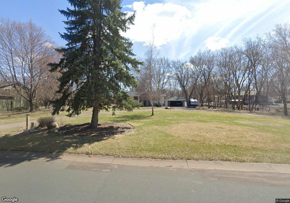
12055 Robin Rd Maple Grove, MN 55369
Estimated Value: $426,000 - $547,000
4
Beds
4
Baths
1,390
Sq Ft
$362/Sq Ft
Est. Value
About This Home
This home is located at 12055 Robin Rd, Maple Grove, MN 55369 and is currently estimated at $503,018, approximately $361 per square foot. 12055 Robin Rd is a home located in Hennepin County with nearby schools including Cedar Island Elementary School, Maple Grove Middle School, and Osseo Senior High School.
Ownership History
Date
Name
Owned For
Owner Type
Purchase Details
Closed on
Jul 12, 2000
Sold by
Wolf Randall J
Bought by
Lokken Brian H and Lokken Kathlee M
Current Estimated Value
Purchase Details
Closed on
Jan 22, 1999
Sold by
Epperly Margaret L
Bought by
Wolf Randall J and Wolf Kathi R
Create a Home Valuation Report for This Property
The Home Valuation Report is an in-depth analysis detailing your home's value as well as a comparison with similar homes in the area
Home Values in the Area
Average Home Value in this Area
Purchase History
| Date | Buyer | Sale Price | Title Company |
|---|---|---|---|
| Lokken Brian H | $226,500 | -- | |
| Wolf Randall J | $174,000 | -- |
Source: Public Records
Tax History Compared to Growth
Tax History
| Year | Tax Paid | Tax Assessment Tax Assessment Total Assessment is a certain percentage of the fair market value that is determined by local assessors to be the total taxable value of land and additions on the property. | Land | Improvement |
|---|---|---|---|---|
| 2024 | $5,704 | $470,900 | $138,300 | $332,600 |
| 2023 | $5,016 | $427,200 | $129,900 | $297,300 |
| 2022 | $4,338 | $444,800 | $127,000 | $317,800 |
| 2021 | $4,342 | $360,700 | $85,200 | $275,500 |
| 2020 | $4,488 | $354,000 | $85,200 | $268,800 |
| 2019 | $4,357 | $349,900 | $94,300 | $255,600 |
| 2018 | $4,124 | $322,900 | $81,300 | $241,600 |
| 2017 | $4,090 | $288,700 | $75,000 | $213,700 |
| 2016 | $4,251 | $294,800 | $88,000 | $206,800 |
| 2015 | $3,921 | $267,200 | $73,000 | $194,200 |
| 2014 | -- | $250,800 | $75,500 | $175,300 |
Source: Public Records
Map
Nearby Homes
- 12083 Robin Rd
- 6477 Deerwood Ln N
- 12350 61st Ave N
- 11649 Gentilly Rd
- 6450 Deerwood Ln N
- 6905 Ives Ln N
- 6942 Ives Ln N
- 5825 Rosewood Ln N
- 13505 63rd Ave N
- 11755 Bass Lake Rd
- 6412 Xenium Ln N
- 5800 Deerwood Ln N
- 13445 60th Place N Unit 94
- 5995 Wedgewood Ln N Unit 75
- 11535 57th Ave N
- 6245 Annapolis Ln N
- 5955 Wedgewood Ln N Unit 71
- 11081 69th Ave N
- 5915 Yucca Ln N
- 10947 69th Ave N
- 12300 63rd Ave N
- 12053 Robin Rd
- 12350 63rd Ave N
- 12058 Robin Rd
- 12067 Robin Rd
- 12321 63rd Ave N
- 12360 63rd Ave N
- 12092 63rd Place N
- 12054 Robin Rd
- 12062 Robin Rd
- 12095 63rd Place N
- 12050 Robin Rd
- 12341 63rd Ave N
- 12370 63rd Ave N
- 12046 Robin Rd
- 12062 63rd Place N
- 12361 63rd Ave N
- 17112 17112 63rd-Place-n
- 6320 Larch Ln N
- 12065 63rd Place N
