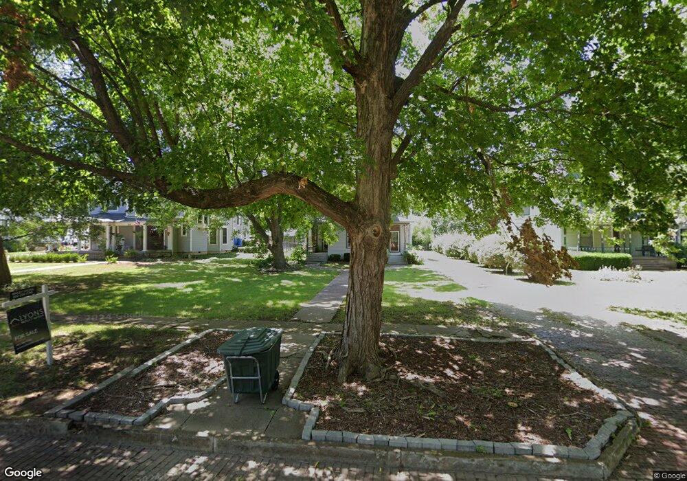
1206 Burke St Fort Scott, KS 66701
Estimated Value: $152,000 - $184,000
3
Beds
2
Baths
2,063
Sq Ft
$82/Sq Ft
Est. Value
About This Home
This home is located at 1206 Burke St, Fort Scott, KS 66701 and is currently estimated at $169,789, approximately $82 per square foot. 1206 Burke St is a home located in Bourbon County with nearby schools including Winfield Scott Elementary School, Eugene Ware Elementary School, and Fort Scott Middle School.
Ownership History
Date
Name
Owned For
Owner Type
Purchase Details
Closed on
Apr 1, 1997
Bought by
Patrick Herman James
Current Estimated Value
Home Financials for this Owner
Home Financials are based on the most recent Mortgage that was taken out on this home.
Original Mortgage
$40,000
Outstanding Balance
$5,208
Interest Rate
7.97%
Mortgage Type
New Conventional
Estimated Equity
$164,581
Create a Home Valuation Report for This Property
The Home Valuation Report is an in-depth analysis detailing your home's value as well as a comparison with similar homes in the area
Home Values in the Area
Average Home Value in this Area
Purchase History
| Date | Buyer | Sale Price | Title Company |
|---|---|---|---|
| Patrick Herman James | $100,000 | -- |
Source: Public Records
Mortgage History
| Date | Status | Borrower | Loan Amount |
|---|---|---|---|
| Open | Patrick Herman James | $40,000 | |
| Closed | Patrick Herman James | $40,000 |
Source: Public Records
Tax History Compared to Growth
Tax History
| Year | Tax Paid | Tax Assessment Tax Assessment Total Assessment is a certain percentage of the fair market value that is determined by local assessors to be the total taxable value of land and additions on the property. | Land | Improvement |
|---|---|---|---|---|
| 2025 | -- | $14,726 | $1,179 | $13,547 |
| 2024 | $2,493 | $13,892 | $1,179 | $12,713 |
| 2023 | $2,345 | $12,745 | $1,152 | $11,593 |
| 2022 | $2,272 | $12,374 | $1,134 | $11,240 |
| 2021 | $2,302 | $11,799 | $1,107 | $10,692 |
| 2020 | $2,253 | $11,472 | $1,010 | $10,462 |
| 2019 | $2,162 | $10,922 | $983 | $9,939 |
| 2018 | $2,134 | $10,814 | $1,151 | $9,663 |
| 2017 | $2,147 | $10,814 | $1,458 | $9,356 |
| 2016 | -- | $11,715 | $1,458 | $10,257 |
| 2015 | -- | $11,431 | $1,458 | $9,973 |
| 2014 | -- | $11,544 | $1,458 | $10,086 |
Source: Public Records
Map
Nearby Homes
- 402 Lees Circle Dr
- 225 W 15th St
- 1238 S Judson St
- 502 Osbun St
- 735 S Crawford St
- 608 S Lowman St
- 517 Burke St
- 603 S Judson St
- 523 S Judson St
- 1301 S Ransom St
- 419 S Eddy St
- 841 N Highway 69
- 409 S Eddy St
- 223 S Eddy St
- 809 Meadow Ln
- 109 S Holbrook St
- 1702 Tomahawk Ln
- 324 W 23rd St
- 820 S Margrave St
- 20 S Crawford St