12067 182nd Ave Maquoketa, IA 52060
Estimated Value: $379,000 - $441,529
4
Beds
2
Baths
2,360
Sq Ft
$174/Sq Ft
Est. Value
About This Home
This home is located at 12067 182nd Ave, Maquoketa, IA 52060 and is currently estimated at $410,265, approximately $173 per square foot. 12067 182nd Ave is a home located in Jackson County with nearby schools including Cardinal Elementary School, Briggs Elementary School, and Maquoketa Middle School.
Ownership History
Date
Name
Owned For
Owner Type
Purchase Details
Closed on
Oct 4, 2021
Sold by
Julianne Streets
Bought by
Streets Dennis
Current Estimated Value
Purchase Details
Closed on
Mar 31, 2021
Sold by
Streets Dillon J and Madden Megan E
Bought by
Holland Jed Carl and Holland Paige Elizabeth
Purchase Details
Closed on
Jan 26, 2017
Sold by
Estate Of Raymond A Kuhl
Bought by
Shannon Kathleen R and Kuhl Philip A
Create a Home Valuation Report for This Property
The Home Valuation Report is an in-depth analysis detailing your home's value as well as a comparison with similar homes in the area
Home Values in the Area
Average Home Value in this Area
Purchase History
| Date | Buyer | Sale Price | Title Company |
|---|---|---|---|
| Streets Dennis | -- | -- | |
| Holland Jed Carl | $825,000 | None Available | |
| Shannon Kathleen R | -- | None Available |
Source: Public Records
Tax History Compared to Growth
Tax History
| Year | Tax Paid | Tax Assessment Tax Assessment Total Assessment is a certain percentage of the fair market value that is determined by local assessors to be the total taxable value of land and additions on the property. | Land | Improvement |
|---|---|---|---|---|
| 2025 | $3,500 | $342,000 | $96,500 | $245,500 |
| 2024 | $3,500 | $271,200 | $72,000 | $199,200 |
| 2023 | $3,386 | $271,200 | $72,000 | $199,200 |
| 2022 | $3,032 | $205,700 | $59,200 | $146,500 |
| 2021 | $2,998 | $211,800 | $65,300 | $146,500 |
| 2020 | $2,998 | $200,500 | $66,400 | $134,100 |
| 2019 | $2,888 | $227,300 | $0 | $0 |
| 2018 | $2,782 | $227,300 | $0 | $0 |
| 2017 | $2,382 | $205,400 | $0 | $0 |
| 2016 | $2,326 | $205,400 | $0 | $0 |
| 2015 | $2,326 | $204,800 | $0 | $0 |
| 2014 | $2,380 | $204,800 | $0 | $0 |
Source: Public Records
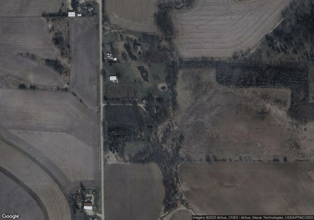
Map
Nearby Homes
- 000 182nd Ave
- 18743 138th St
- 000 150th St
- 25483 134th St
- 105 W Benton St
- 911 Lisa Dr
- 318 N Main St
- 12811 Iowa 62
- 1010 Kathey Dr
- 1007 Kathey Dr
- 124 E Platt St
- 107 N Otto St
- 109 N Dearborn St
- 708 E Platt St
- 210 S 2nd St
- 412 E Pleasant St
- 401-435 Forest Dr
- 208 S Clark St
- 216 E Maple St
- 220 S Matteson St
- 12251 182nd Ave
- 12480 182nd Ave
- 11620 182nd Ave
- 11355 182nd Ave
- 18279 110th St
- 19058 110th St
- 18040 110th St
- 18313 134th St
- 18697 134th St
- 17501 134th St
- 10642 182nd Ave
- 17703 134th St
- 12368 200th Ave
- 13590 187th Ave
- 19802 110th St
- 13617 187th Ave
- 11944 200th Ave
- 13675 187th Ave
- 12315 200th Ave
- 18777 137th St