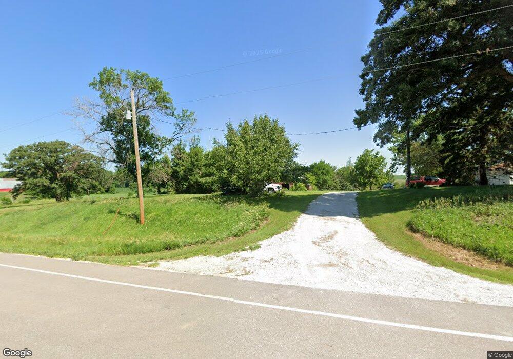
1207 180th St Audubon, IA 50025
Estimated Value: $161,000 - $211,000
--
Bed
--
Bath
1,581
Sq Ft
$114/Sq Ft
Est. Value
About This Home
This home is located at 1207 180th St, Audubon, IA 50025 and is currently estimated at $180,639, approximately $114 per square foot. 1207 180th St is a home located in Audubon County with nearby schools including Audubon Elementary School and Audubon Middle/High School.
Ownership History
Date
Name
Owned For
Owner Type
Purchase Details
Closed on
Aug 30, 2005
Sold by
Hansen Robert R and Hansen Donis L
Bought by
Davisson David D and Davisson Shelly D
Current Estimated Value
Home Financials for this Owner
Home Financials are based on the most recent Mortgage that was taken out on this home.
Original Mortgage
$82,550
Outstanding Balance
$44,386
Interest Rate
5.93%
Mortgage Type
New Conventional
Estimated Equity
$136,253
Create a Home Valuation Report for This Property
The Home Valuation Report is an in-depth analysis detailing your home's value as well as a comparison with similar homes in the area
Home Values in the Area
Average Home Value in this Area
Purchase History
| Date | Buyer | Sale Price | Title Company |
|---|---|---|---|
| Davisson David D | $83,000 | None Available |
Source: Public Records
Mortgage History
| Date | Status | Borrower | Loan Amount |
|---|---|---|---|
| Open | Davisson David D | $82,550 |
Source: Public Records
Tax History Compared to Growth
Tax History
| Year | Tax Paid | Tax Assessment Tax Assessment Total Assessment is a certain percentage of the fair market value that is determined by local assessors to be the total taxable value of land and additions on the property. | Land | Improvement |
|---|---|---|---|---|
| 2025 | $1,276 | $133,450 | $30,180 | $103,270 |
| 2024 | $1,276 | $112,120 | $25,090 | $87,030 |
| 2023 | $1,196 | $112,120 | $25,090 | $87,030 |
| 2022 | $1,072 | $81,270 | $20,090 | $61,180 |
| 2021 | $1,072 | $81,270 | $20,090 | $61,180 |
| 2020 | $770 | $58,850 | $3,900 | $54,950 |
| 2019 | $684 | $55,720 | $0 | $0 |
| 2018 | $672 | $55,720 | $0 | $0 |
| 2017 | $626 | $51,500 | $0 | $0 |
| 2016 | $722 | $61,590 | $0 | $0 |
| 2015 | $722 | $64,490 | $0 | $0 |
| 2014 | $716 | $64,490 | $0 | $0 |
Source: Public Records
Map
Nearby Homes
- 1521 Road M56
- 2322 2200th St
- 108 Nasby Ave
- 102 Nasby Ave
- 204 Washington St
- 101 Church St
- 103 Church St
- 502 Tracy St
- 107 & 109 Church St
- 706 N Arlington St
- 103 E Division St
- 707 N Arlington St
- 606 Chicago St
- 313 Mantz Ave
- 510 E Division St
- 415 1st Ave
- 702 E Division St
- 311 2nd Ave
- 907 Broadway St
- 512 1st Ave
