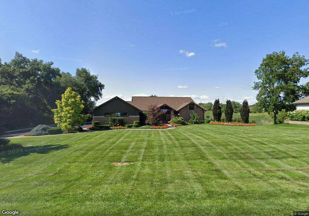
1207 Macintosh Dr Wauconda, IL 60084
Estimated Value: $458,000 - $934,000
2
Beds
3
Baths
1,767
Sq Ft
$361/Sq Ft
Est. Value
About This Home
This home is located at 1207 Macintosh Dr, Wauconda, IL 60084 and is currently estimated at $638,378, approximately $361 per square foot. 1207 Macintosh Dr is a home located in Lake County with nearby schools including Fremont Elementary School, Fremont Intermediate School, and Fremont Jr High/Middle School.
Ownership History
Date
Name
Owned For
Owner Type
Purchase Details
Closed on
Jan 31, 1997
Sold by
Welch Bennett I and Bennett I Welch Revocable Trus
Bought by
Jones James R and Jones Terri
Current Estimated Value
Home Financials for this Owner
Home Financials are based on the most recent Mortgage that was taken out on this home.
Original Mortgage
$280,000
Outstanding Balance
$32,140
Interest Rate
7.73%
Estimated Equity
$606,238
Purchase Details
Closed on
Aug 16, 1996
Sold by
Welch Bennett I and Welch Kathleen E
Bought by
Welch Bennett I and Bennett I Welch Revocable Trus
Create a Home Valuation Report for This Property
The Home Valuation Report is an in-depth analysis detailing your home's value as well as a comparison with similar homes in the area
Home Values in the Area
Average Home Value in this Area
Purchase History
| Date | Buyer | Sale Price | Title Company |
|---|---|---|---|
| Jones James R | $350,000 | Lawyers Title Insurance Corp | |
| Welch Bennett I | -- | -- |
Source: Public Records
Mortgage History
| Date | Status | Borrower | Loan Amount |
|---|---|---|---|
| Open | Jones James R | $280,000 |
Source: Public Records
Tax History Compared to Growth
Tax History
| Year | Tax Paid | Tax Assessment Tax Assessment Total Assessment is a certain percentage of the fair market value that is determined by local assessors to be the total taxable value of land and additions on the property. | Land | Improvement |
|---|---|---|---|---|
| 2024 | $14,530 | $174,795 | $16,279 | $158,516 |
| 2023 | $14,104 | $160,157 | $14,916 | $145,241 |
| 2022 | $14,104 | $149,742 | $16,377 | $133,365 |
| 2021 | $13,535 | $144,496 | $15,803 | $128,693 |
| 2020 | $13,581 | $140,519 | $15,368 | $125,151 |
| 2019 | $13,198 | $135,899 | $14,863 | $121,036 |
| 2018 | $11,430 | $120,971 | $27,405 | $93,566 |
| 2017 | $11,294 | $117,163 | $26,542 | $90,621 |
| 2016 | $10,900 | $111,276 | $25,208 | $86,068 |
| 2015 | $10,519 | $104,318 | $23,632 | $80,686 |
| 2014 | $10,521 | $104,066 | $29,649 | $74,417 |
| 2012 | $9,160 | $104,990 | $29,912 | $75,078 |
Source: Public Records
Map
Nearby Homes
- 1260 Water Stone Cir
- 0 Bonner Rd
- 28722 N Madison Ave
- 701 Lake Shore Dr
- 28855 N Garland Rd
- 29564 N Garland Rd
- 315 Grand Blvd
- 302 Stillwater Ct Unit 1702
- 303 Stillwater Ct Unit 1106
- 309 Stillwater Ct Unit 1101
- 28177 N Garland Rd
- 315 Hill St Unit A
- 26049 N Il Route 59
- 325 Sundown Ct Unit B
- 310 Sundown Ct Unit E
- 2403 Goldenrod Way
- 2472 Olivia Ct
- 2486 Olivia Ct
- 2490 Olivia Ct
- 2373 Heron Ln
- 1209 Macintosh Dr
- 1205 Macintosh Dr
- 1202 Jonathon Ct
- 1203 Macintosh Dr
- 1101 E Bonner Rd
- 1211 Macintosh Dr
- 1208 Jonathon Ct
- 1200 Macintosh Dr
- 1210 Macintosh Dr
- 1071 E Bonner Rd
- 1201 Macintosh Dr
- 1206 Jonathon Ct
- 1204 Jonathon Ct
- 1242 Water Stone Cir
- 1244 Water Stone Cir
- 1248 Water Stone Cir
- 1250 Water Stone Cir
- 1240 Water Stone Cir
- 1252 Water Stone Cir
- 1201 E Bonner Rd