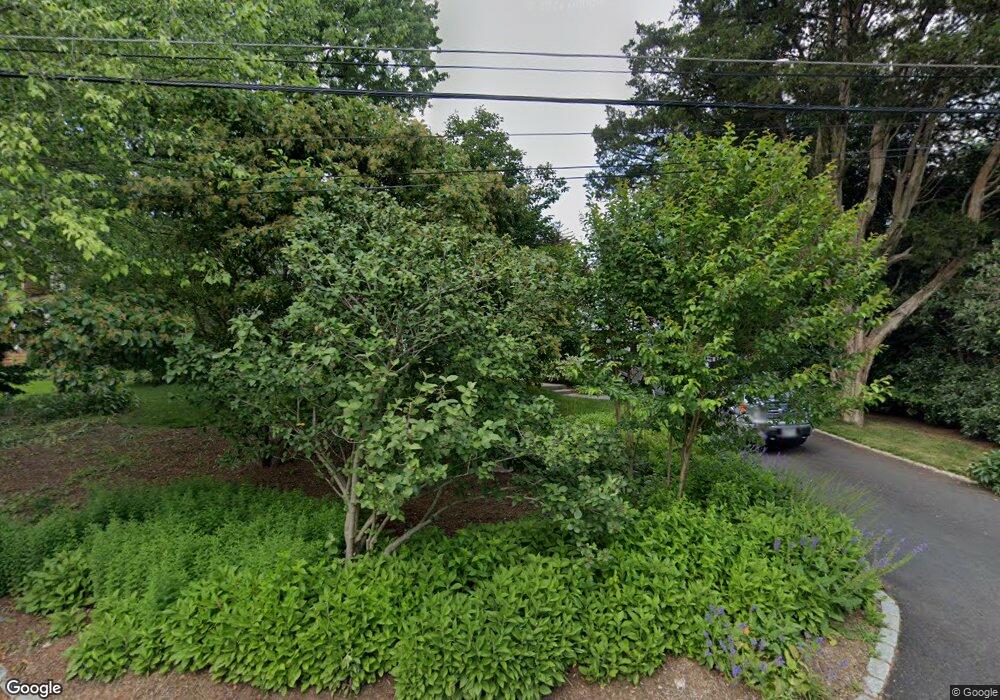
1208 Berwick Rd Towson, MD 21204
Ruxton NeighborhoodEstimated Value: $983,000 - $1,379,000
Studio
3
Baths
3,284
Sq Ft
$358/Sq Ft
Est. Value
About This Home
This home is located at 1208 Berwick Rd, Towson, MD 21204 and is currently estimated at $1,174,772, approximately $357 per square foot. 1208 Berwick Rd is a home located in Baltimore County with nearby schools including West Towson Elementary School, Dumbarton Middle School, and Towson High Law & Public Policy.
Ownership History
Date
Name
Owned For
Owner Type
Purchase Details
Closed on
Jun 10, 2004
Sold by
Jones Ellen P
Bought by
Harris Edward B and Harris Laura P
Current Estimated Value
Purchase Details
Closed on
Sep 1, 1999
Sold by
Jones Ellen P
Bought by
Jones Ellen P and Malone Jones Anne
Create a Home Valuation Report for This Property
The Home Valuation Report is an in-depth analysis detailing your home's value as well as a comparison with similar homes in the area
Home Values in the Area
Average Home Value in this Area
Purchase History
| Date | Buyer | Sale Price | Title Company |
|---|---|---|---|
| Harris Edward B | $625,000 | -- | |
| Harris Edward B | $625,000 | -- | |
| Jones Ellen P | -- | -- |
Source: Public Records
Tax History Compared to Growth
Tax History
| Year | Tax Paid | Tax Assessment Tax Assessment Total Assessment is a certain percentage of the fair market value that is determined by local assessors to be the total taxable value of land and additions on the property. | Land | Improvement |
|---|---|---|---|---|
| 2025 | $12,520 | $899,500 | $358,900 | $540,600 |
| 2024 | $12,520 | $898,000 | $0 | $0 |
| 2023 | $6,264 | $896,500 | $0 | $0 |
| 2022 | $12,707 | $895,000 | $344,200 | $550,800 |
| 2021 | $12,050 | $885,667 | $0 | $0 |
| 2020 | $12,050 | $876,333 | $0 | $0 |
| 2019 | $11,593 | $867,000 | $344,200 | $522,800 |
| 2018 | $11,906 | $832,267 | $0 | $0 |
| 2017 | $10,501 | $797,533 | $0 | $0 |
| 2016 | $12,154 | $762,800 | $0 | $0 |
| 2015 | $12,154 | $762,800 | $0 | $0 |
| 2014 | $12,154 | $762,800 | $0 | $0 |
Source: Public Records
Map
Nearby Homes
- 1008 W Wind Ct
- 1212 Boyce Ave
- 448 Range Rd
- 901 Navy Rd
- 425 Woodbine Ave
- 1006 W Joppa Rd
- 1005 Donington Cir
- 0 Charlesway
- 2 Riderwood Station
- 8328 Bellona Ave
- 1012 Kenilworth Dr
- 8328 / 8400 Bellona Ln
- 19 Coldwater Ct
- 132 Warwick Dr
- 15 Lacosta Ct
- 1806 Roland Ave
- 7506 Lhirondelle Club Rd
- 1305 Warwick Dr
- 8007 Strauff Rd
- 1848 Circle Rd
- 1015 Boyce Ave
- 1013 Boyce Ave
- 1101 Boyce Ave
- 1011 Boyce Ave
- 1005 Boyce Ave
- 1009 Boyce Ave
- 1007 Boyce Ave
- 1003 Boyce Ave
- 318 N Wind Rd
- 1107 Boyce Ave
- 6902 N Charles St
- 314 W Wind Rd
- 316 W Wind Rd
- 312 W Wind Rd
- 1001 Boyce Ave
- 6904 N Charles St
- 316 N Wind Rd
- 305 Greenwood Rd
- 317 N Wind Rd
- 315 N Wind Rd
