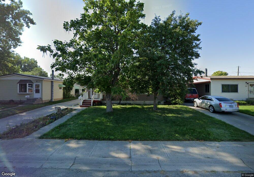
1208 Juneau Dr Billings, MT 59101
East Central Billings NeighborhoodEstimated Value: $247,000 - $282,000
4
Beds
1
Bath
1,632
Sq Ft
$165/Sq Ft
Est. Value
About This Home
This home is located at 1208 Juneau Dr, Billings, MT 59101 and is currently estimated at $269,757, approximately $165 per square foot. 1208 Juneau Dr is a home located in Yellowstone County with nearby schools including Washington School, Lewis & Clark Junior High School, and Billings West High School.
Ownership History
Date
Name
Owned For
Owner Type
Purchase Details
Closed on
Jul 30, 2013
Sold by
Todd Jon J and Todd Carol L
Bought by
Anderson Alysia
Current Estimated Value
Home Financials for this Owner
Home Financials are based on the most recent Mortgage that was taken out on this home.
Original Mortgage
$6,500
Interest Rate
3.98%
Mortgage Type
Purchase Money Mortgage
Create a Home Valuation Report for This Property
The Home Valuation Report is an in-depth analysis detailing your home's value as well as a comparison with similar homes in the area
Home Values in the Area
Average Home Value in this Area
Purchase History
| Date | Buyer | Sale Price | Title Company |
|---|---|---|---|
| Anderson Alysia | -- | Stewart Title |
Source: Public Records
Mortgage History
| Date | Status | Borrower | Loan Amount |
|---|---|---|---|
| Previous Owner | Anderson Alysia | $6,500 |
Source: Public Records
Tax History Compared to Growth
Tax History
| Year | Tax Paid | Tax Assessment Tax Assessment Total Assessment is a certain percentage of the fair market value that is determined by local assessors to be the total taxable value of land and additions on the property. | Land | Improvement |
|---|---|---|---|---|
| 2025 | $2,203 | $271,400 | $37,923 | $233,477 |
| 2024 | $2,203 | $214,900 | $36,968 | $177,932 |
| 2023 | $2,206 | $214,900 | $36,968 | $177,932 |
| 2022 | $2,233 | $192,700 | $30,865 | $161,835 |
| 2021 | $2,131 | $192,700 | $0 | $0 |
| 2020 | $1,945 | $165,400 | $0 | $0 |
| 2019 | $1,851 | $165,400 | $0 | $0 |
| 2018 | $1,722 | $150,300 | $0 | $0 |
| 2017 | $1,670 | $150,300 | $0 | $0 |
| 2016 | $1,587 | $143,300 | $0 | $0 |
| 2015 | $1,438 | $130,800 | $0 | $0 |
| 2014 | $1,461 | $71,232 | $0 | $0 |
Source: Public Records
Map
Nearby Homes
- 231 S 12th St W
- 141 S 12th St W
- 226 Moore Ln
- 1304 Eldorado Dr
- 1212 Concord Dr
- 12 Macarthur Ave
- 1113 Lynn Ave
- 1231 Saint Johns Ave
- 112 11th St W
- 1122 Howard Ave
- 19 Patton Ave
- 1019 Miles Ave
- 927 Miles Ave
- 925 Miles Ave
- 812 Miles Ave
- 305 17th St W
- 626 Cook Ave
- 1346 Broadwater Ave
- 605 Calhoun Ln
- 4531 Phillip St