12080 N 19th Ave W Colfax, IA 50054
Estimated Value: $397,000 - $584,850
3
Beds
2
Baths
2,016
Sq Ft
$244/Sq Ft
Est. Value
About This Home
This home is located at 12080 N 19th Ave W, Colfax, IA 50054 and is currently estimated at $491,713, approximately $243 per square foot. 12080 N 19th Ave W is a home located in Jasper County with nearby schools including Colfax-Mingo Elementary School and Colfax-Mingo High School.
Ownership History
Date
Name
Owned For
Owner Type
Purchase Details
Closed on
Apr 21, 2009
Sold by
Allgood Michael T and Allgood Randi J
Bought by
Clinch Gary F and Clinch Deborah L
Current Estimated Value
Home Financials for this Owner
Home Financials are based on the most recent Mortgage that was taken out on this home.
Original Mortgage
$245,600
Outstanding Balance
$156,173
Interest Rate
5.05%
Mortgage Type
New Conventional
Estimated Equity
$335,540
Create a Home Valuation Report for This Property
The Home Valuation Report is an in-depth analysis detailing your home's value as well as a comparison with similar homes in the area
Home Values in the Area
Average Home Value in this Area
Purchase History
| Date | Buyer | Sale Price | Title Company |
|---|---|---|---|
| Clinch Gary F | $307,000 | None Available |
Source: Public Records
Mortgage History
| Date | Status | Borrower | Loan Amount |
|---|---|---|---|
| Open | Clinch Gary F | $245,600 |
Source: Public Records
Tax History Compared to Growth
Tax History
| Year | Tax Paid | Tax Assessment Tax Assessment Total Assessment is a certain percentage of the fair market value that is determined by local assessors to be the total taxable value of land and additions on the property. | Land | Improvement |
|---|---|---|---|---|
| 2025 | $4,992 | $398,840 | $52,750 | $346,090 |
| 2024 | $4,992 | $346,300 | $40,710 | $305,590 |
| 2023 | $4,826 | $346,300 | $40,710 | $305,590 |
| 2022 | $3,890 | $258,310 | $30,390 | $227,920 |
| 2021 | $3,914 | $239,900 | $30,390 | $209,510 |
| 2020 | $3,914 | $225,690 | $32,860 | $192,830 |
| 2019 | $3,644 | $212,410 | $0 | $0 |
| 2018 | $3,644 | $212,410 | $0 | $0 |
| 2017 | $3,806 | $232,910 | $0 | $0 |
| 2016 | $3,806 | $243,470 | $0 | $0 |
| 2015 | $4,004 | $247,360 | $0 | $0 |
| 2014 | $3,772 | $247,360 | $0 | $0 |
Source: Public Records
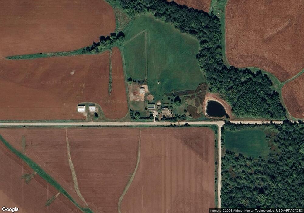
Map
Nearby Homes
- 00 W 120th St S
- W 120th St S
- 0 W 120th St S
- 1096 W 124th St S
- HWY 117 at Intersection of Fleet Ave
- 11213 Orchard Ave
- 12227 N 59th Ave W
- 12210 N 59th Ave W
- 303 S Station St
- 108 N West St
- 501 W Broadway St
- 105 Everett Cir
- 103 Everett Cir
- 114 S Station St
- 119 W Washington St
- 300 E Front St
- 223 W Broadway St
- 200 Jefferson St
- 215 W Spring St
- 108 S Walnut St
- 1452 W 120th St N
- 1430 W 120th St N
- 12409 N 19th Ave W
- 198 W 124th St N
- 150 W 124th St N
- 154 W 124th St N
- 336 W 124th St N
- 2674 W 124th St N
- 11627 N 19th Ave W
- 887 W 120th St N
- 12622 N 19th Ave W
- 1787 W 126th St N
- 2988 W 124th St N
- 2869 W 124th St N
- 11489 N 19th Ave W
- 2965 W 124th St N
- 758 W 120th St N
- 11796 N 4th Ave W
- 664 W 120th St N
- 3151 W 124th St N