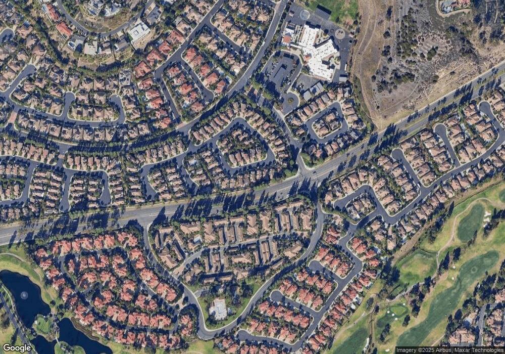
12098 Morrow Dr Tustin, CA 92782
Tustin Ranch NeighborhoodEstimated Value: $2,015,236 - $2,352,000
5
Beds
3
Baths
2,790
Sq Ft
$787/Sq Ft
Est. Value
About This Home
This home is located at 12098 Morrow Dr, Tustin, CA 92782 and is currently estimated at $2,197,059, approximately $787 per square foot. 12098 Morrow Dr is a home located in Orange County with nearby schools including Ladera Elementary School, Pioneer Middle School, and Arnold O. Beckman High School.
Ownership History
Date
Name
Owned For
Owner Type
Purchase Details
Closed on
Dec 2, 2022
Sold by
Martinez Anthony Cirilo and Martinez Robin Renee
Bought by
Martinez Family Trust
Current Estimated Value
Purchase Details
Closed on
Apr 18, 1995
Sold by
Baycrest Associates
Bought by
Martinez Anthony Cirilo and Martinez Robin Renee
Home Financials for this Owner
Home Financials are based on the most recent Mortgage that was taken out on this home.
Original Mortgage
$241,550
Interest Rate
8%
Create a Home Valuation Report for This Property
The Home Valuation Report is an in-depth analysis detailing your home's value as well as a comparison with similar homes in the area
Home Values in the Area
Average Home Value in this Area
Purchase History
| Date | Buyer | Sale Price | Title Company |
|---|---|---|---|
| Martinez Family Trust | -- | -- | |
| Martinez Anthony Cirilo | $302,000 | First American Title Ins |
Source: Public Records
Mortgage History
| Date | Status | Borrower | Loan Amount |
|---|---|---|---|
| Previous Owner | Martinez Anthony Cirilo | $241,550 |
Source: Public Records
Tax History Compared to Growth
Tax History
| Year | Tax Paid | Tax Assessment Tax Assessment Total Assessment is a certain percentage of the fair market value that is determined by local assessors to be the total taxable value of land and additions on the property. | Land | Improvement |
|---|---|---|---|---|
| 2025 | $5,537 | $544,354 | $189,987 | $354,367 |
| 2024 | $5,537 | $533,681 | $186,262 | $347,419 |
| 2023 | $5,409 | $523,217 | $182,610 | $340,607 |
| 2022 | $6,572 | $512,958 | $179,029 | $333,929 |
| 2021 | $6,422 | $502,900 | $175,518 | $327,382 |
| 2020 | $6,312 | $497,744 | $173,718 | $324,026 |
| 2019 | $6,192 | $487,985 | $170,312 | $317,673 |
| 2018 | $6,047 | $478,417 | $166,972 | $311,445 |
| 2017 | $5,838 | $469,037 | $163,698 | $305,339 |
| 2016 | $5,738 | $459,841 | $160,489 | $299,352 |
| 2015 | $5,689 | $452,934 | $158,078 | $294,856 |
| 2014 | $5,663 | $444,062 | $154,981 | $289,081 |
Source: Public Records
Map
Nearby Homes
- 259 Gallery Way Unit 12
- 234 Gallery Way Unit 163
- 2557 Tea Leaf Ln
- 2495 Tequestra
- 2528 Aquasanta
- 2960 Champion Way Unit 1814
- 2960 Champion Way Unit 1208
- 2960 Champion Way Unit 609
- 2960 Champion Way Unit 1006
- 12440 Butler Way
- 2175 Palmer Place
- 15 Ardmore Unit 117
- 12605 Doral Unit 49
- 12261 Browning Ave
- 12646 Doral Unit 68
- 10 Calais
- 12605 Prescott Ave
- 2832 Ballesteros Ln
- 33 Winterfield Rd
- 2240 Foothill Blvd
- 12108 Morrow Dr
- 12088 Morrow Dr
- 12078 Morrow Dr
- 12118 Morrow Dr
- 12128 Morrow Dr
- 12068 Morrow Dr
- 12095 Morrow Dr
- 12085 Morrow Dr
- 12105 Morrow Dr
- 12075 Morrow Dr
- 12115 Morrow Dr
- 12058 Morrow Dr
- 2554 Wilson Dr
- 2544 Wilson Dr
- 2591 Stutsman Dr
- 2532 Stutsman Dr
- 246 Gallery Way Unit 246
- 244 Gallery Way Unit 28
- 244 Gallery Way
- 199 Gallery Way Unit 47
