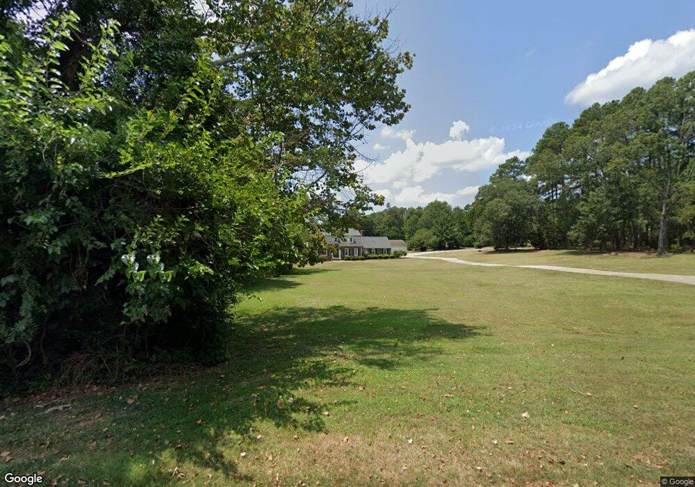
121 Briar Patch Rd Anderson, SC 29621
Estimated Value: $457,000 - $586,009
6
Beds
4
Baths
3,600
Sq Ft
$144/Sq Ft
Est. Value
About This Home
This home is located at 121 Briar Patch Rd, Anderson, SC 29621 and is currently estimated at $516,752, approximately $143 per square foot. 121 Briar Patch Rd is a home located in Anderson County with nearby schools including Concord Elementary School, McCants Middle School, and T.L. Hanna High School.
Ownership History
Date
Name
Owned For
Owner Type
Purchase Details
Closed on
Sep 8, 2017
Sold by
Ashley Lisa M
Bought by
Ashley Neal R
Current Estimated Value
Purchase Details
Closed on
May 21, 2008
Sold by
Federal Home Loan Mortgage Corporation
Bought by
Ashley Lisa M and Ashley Neal R
Home Financials for this Owner
Home Financials are based on the most recent Mortgage that was taken out on this home.
Original Mortgage
$184,414
Outstanding Balance
$113,512
Interest Rate
5.86%
Mortgage Type
Purchase Money Mortgage
Estimated Equity
$403,240
Purchase Details
Closed on
Feb 15, 2008
Sold by
Karekel Brian L and Karekel Renee D
Bought by
Federal Home Loan Mortgage Corporation
Purchase Details
Closed on
Apr 14, 2004
Sold by
Davis Teresa C
Bought by
Norwood A L
Create a Home Valuation Report for This Property
The Home Valuation Report is an in-depth analysis detailing your home's value as well as a comparison with similar homes in the area
Home Values in the Area
Average Home Value in this Area
Purchase History
| Date | Buyer | Sale Price | Title Company |
|---|---|---|---|
| Ashley Neal R | -- | None Available | |
| Ashley Lisa M | $194,120 | -- | |
| Federal Home Loan Mortgage Corporation | $170,000 | Attorney | |
| Norwood A L | $112,900 | -- |
Source: Public Records
Mortgage History
| Date | Status | Borrower | Loan Amount |
|---|---|---|---|
| Open | Ashley Lisa M | $184,414 |
Source: Public Records
Tax History
| Year | Tax Paid | Tax Assessment Tax Assessment Total Assessment is a certain percentage of the fair market value that is determined by local assessors to be the total taxable value of land and additions on the property. | Land | Improvement |
|---|---|---|---|---|
| 2025 | $1,596 | $14,340 | $2,060 | $12,280 |
| 2024 | $1,596 | $14,340 | $2,060 | $12,280 |
| 2023 | $1,608 | $14,340 | $2,060 | $12,280 |
| 2022 | $1,577 | $14,340 | $2,060 | $12,280 |
| 2021 | $1,414 | $11,850 | $1,930 | $9,920 |
| 2020 | $1,402 | $11,850 | $1,930 | $9,920 |
| 2019 | $1,402 | $11,850 | $1,930 | $9,920 |
| 2018 | $5,660 | $17,770 | $2,890 | $14,880 |
| 2017 | -- | $11,850 | $1,930 | $9,920 |
| 2016 | $1,361 | $11,200 | $1,620 | $9,580 |
| 2015 | $1,393 | $11,200 | $1,620 | $9,580 |
| 2014 | $1,388 | $11,200 | $1,620 | $9,580 |
Source: Public Records
Map
Nearby Homes
- Hobson E West Pkwy
- 112 Rustic Ln
- 102 Rustic Ln
- 105 Hamilton Dr
- 1015 Whirlaway Cir
- 114 Gallant Ln
- 121 Olde Towne Dr
- 214 Friend St
- 115 McPhail Farms Cir
- 112 Briar Creek Ln
- 137 Prescott Dr
- 309 Kings Rd
- 134 Prescott Dr
- 106 Cherokee Cir
- 101 Briar Creek Ln
- 1104 Thornehill Dr
- Lot 12 Thornehill Dr
- 405 Botany Ln
- 402 Botany Ln
- 707 Weathered Oak Way
- 115 Briar Patch Rd
- 136 Briar Patch Rd
- 204 Hobson Rd
- 120 Briar Patch Rd
- 116 Briar Patch Rd
- 202 Hobson Rd
- 206 Hobson Rd
- 146 Briar Patch Rd
- 108 Hobson Rd
- 124 Briar Patch Rd
- 00 E West Pkwy
- 0 E West Pkwy Unit 1287905
- 320 E West Pkwy
- 108 Brookwood Ct
- 108 Brookwood Ct Unit Lot 7
- 106 Brookwood Ct
- 104 Brookwood Ct
- 106 Hobson Rd
- 104 Hobson Rd
- 4 Peppertree
Your Personal Tour Guide
Ask me questions while you tour the home.