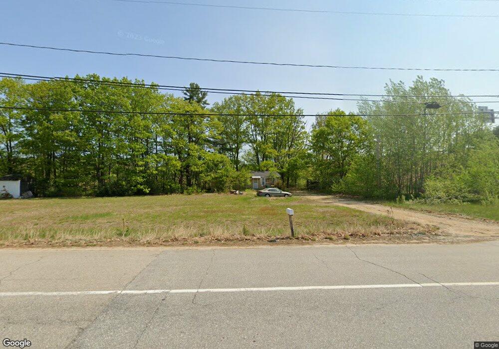
121 Chestnut Hill Rd Rochester, NH 03867
Estimated Value: $286,000 - $374,000
3
Beds
1
Bath
1,008
Sq Ft
$328/Sq Ft
Est. Value
About This Home
This home is located at 121 Chestnut Hill Rd, Rochester, NH 03867 and is currently estimated at $330,703, approximately $328 per square foot. 121 Chestnut Hill Rd is a home located in Strafford County with nearby schools including Chamberlain Street School, Rochester Middle School, and Spaulding High School.
Ownership History
Date
Name
Owned For
Owner Type
Purchase Details
Closed on
Jan 8, 2025
Sold by
Brown Louise J Est and Washok
Bought by
Jacobs David C
Current Estimated Value
Purchase Details
Closed on
Apr 1, 2013
Sold by
Brown Louise J
Bought by
New Hampshire State Of
Purchase Details
Closed on
Feb 7, 2001
Sold by
Washok Kathleen A
Bought by
Brown Louise J
Create a Home Valuation Report for This Property
The Home Valuation Report is an in-depth analysis detailing your home's value as well as a comparison with similar homes in the area
Home Values in the Area
Average Home Value in this Area
Purchase History
| Date | Buyer | Sale Price | Title Company |
|---|---|---|---|
| Jacobs David C | $52,066 | None Available | |
| Jacobs David C | $52,066 | None Available | |
| New Hampshire State Of | -- | -- | |
| New Hampshire State Of | -- | -- | |
| Brown Louise J | $17,200 | -- | |
| Brown Louise J | $17,100 | -- | |
| Brown Louise J | $17,200 | -- |
Source: Public Records
Tax History Compared to Growth
Tax History
| Year | Tax Paid | Tax Assessment Tax Assessment Total Assessment is a certain percentage of the fair market value that is determined by local assessors to be the total taxable value of land and additions on the property. | Land | Improvement |
|---|---|---|---|---|
| 2024 | $4,243 | $285,700 | $121,800 | $163,900 |
| 2023 | $3,539 | $137,500 | $60,500 | $77,000 |
| 2022 | $3,476 | $137,500 | $60,500 | $77,000 |
| 2021 | $3,389 | $137,500 | $60,500 | $77,000 |
| 2020 | $3,386 | $137,600 | $60,500 | $77,100 |
| 2019 | $3,426 | $137,600 | $60,500 | $77,100 |
| 2018 | $3,624 | $131,700 | $45,500 | $86,200 |
| 2017 | $3,468 | $131,700 | $45,500 | $86,200 |
| 2016 | $3,284 | $116,200 | $45,500 | $70,700 |
| 2015 | $3,271 | $116,200 | $45,500 | $70,700 |
| 2014 | $3,192 | $116,200 | $45,500 | $70,700 |
| 2013 | $3,081 | $116,900 | $60,500 | $56,400 |
| 2012 | $3,433 | $133,700 | $77,300 | $56,400 |
Source: Public Records
Map
Nearby Homes
- 79 Millers Farm Dr
- 8 Perimeter Dr
- 22 Cherokee Way
- 5 Monadnock Dr
- 30 Cherokee Way
- 180 Chestnut Hill Rd
- 74 Seneca St
- 49 Shiloh Dr
- 16 Nashoba Dr
- 32 Monadnock Dr
- 14 1/2 Yvonne St
- 2 Cape Coral Way Unit A
- 2 Cape Coral Way Unit B
- 13 Miami Way Unit B
- 67 Ten Rod Rd
- 71 Ten Rod Rd
- 157 Wakefield St
- 52 Little Falls Bridge Rd
- 22 Trade Wind Ln
- 13 Crosswind Ln
- 129 Chestnut Hill Rd
- 133 Chestnut Hill Rd
- 116 Chestnut Hill Rd
- 112 Chestnut Hill Rd
- 139 Chestnut Hill Rd
- 110 Chestnut Hill Rd
- 141 Chestnut Hill Rd
- 108 Chestnut Hill Rd
- 106 Chestnut Hill Rd
- 146 Chestnut Hill Rd
- 101 Chestnut Hill Rd
- 104 Chestnut Hill Rd
- 99 Chestnut Hill Rd
- 99A Chestnut Hill Rd
- 148 Chestnut Hill Rd
- 98 Chestnut Hill Rd
- 97 Chestnut Hill Rd
- 94 Chestnut Hill Rd
- 95 Chestnut Hill Rd
- 63 Millers Farm Dr