121 Clark Rd Shirley, MA 01464
Estimated Value: $570,672 - $731,000
4
Beds
3
Baths
2,560
Sq Ft
$254/Sq Ft
Est. Value
About This Home
This home is located at 121 Clark Rd, Shirley, MA 01464 and is currently estimated at $651,418, approximately $254 per square foot. 121 Clark Rd is a home located in Middlesex County with nearby schools including Page Hilltop School, Lura A. White Elementary School, and Ayer Shirley Regional Middle School.
Ownership History
Date
Name
Owned For
Owner Type
Purchase Details
Closed on
Sep 1, 2000
Sold by
Rettberg Richard D
Bought by
Bird Mark H and Welsh-Bird Pamela
Current Estimated Value
Home Financials for this Owner
Home Financials are based on the most recent Mortgage that was taken out on this home.
Original Mortgage
$202,000
Interest Rate
8.16%
Mortgage Type
Purchase Money Mortgage
Create a Home Valuation Report for This Property
The Home Valuation Report is an in-depth analysis detailing your home's value as well as a comparison with similar homes in the area
Home Values in the Area
Average Home Value in this Area
Purchase History
| Date | Buyer | Sale Price | Title Company |
|---|---|---|---|
| Bird Mark H | $252,500 | -- |
Source: Public Records
Mortgage History
| Date | Status | Borrower | Loan Amount |
|---|---|---|---|
| Open | Bird Mark H | $242,350 | |
| Closed | Bird Mark H | $202,000 | |
| Closed | Bird Mark H | $25,250 |
Source: Public Records
Tax History
| Year | Tax Paid | Tax Assessment Tax Assessment Total Assessment is a certain percentage of the fair market value that is determined by local assessors to be the total taxable value of land and additions on the property. | Land | Improvement |
|---|---|---|---|---|
| 2025 | $57 | $438,300 | $122,900 | $315,400 |
| 2024 | $5,547 | $408,800 | $112,300 | $296,500 |
| 2023 | $5,207 | $367,200 | $112,300 | $254,900 |
| 2022 | $4,955 | $320,100 | $108,800 | $211,300 |
| 2021 | $9,689 | $300,500 | $98,300 | $202,200 |
| 2020 | $4,828 | $299,700 | $98,300 | $201,400 |
| 2019 | $4,723 | $293,700 | $98,300 | $195,400 |
| 2018 | $8,205 | $285,700 | $94,100 | $191,600 |
| 2017 | $4,611 | $279,100 | $91,300 | $187,800 |
| 2016 | $4,441 | $269,000 | $91,300 | $177,700 |
| 2015 | $4,556 | $263,200 | $89,900 | $173,300 |
Source: Public Records
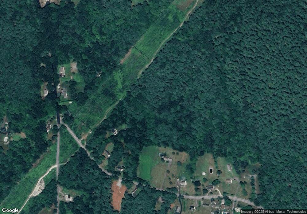
Map
Nearby Homes
- 77 Hazen Rd
- 83 Clark Rd Unit L-19
- 64 Peabody Rd Unit E
- 11 Ambrose Way Unit 9
- 43 Ambrose Way Unit 43
- 10 Ambrose Way Unit 10
- 31 Ambrose Way Unit 31
- 34 Ambrose Way Unit 34
- 12 Ambrose Way Unit 12
- 6 Ambrose Way Unit 3
- 2 Ambrose Way Unit 2
- 9 Ambrose Way Unit 9
- 41 Ambrose Way Unit 41
- 1 Ambrose Way Unit 1
- 30 Ambrose Way Unit 30
- 29 Ambrose Way Unit 29
- 8 Ambrose Way Unit 8
- 36 Ambrose Way Unit 36
- 1 Patterson Rd
- 124 Hazen Rd
- 123 Clark Rd
- 123 Clark Rd Unit SF
- 122 Clark Rd
- 122 Clark Rd Unit 122
- 124 Clark Rd
- 125 Clark Rd
- 127 Clark Rd
- 93 Patterson Rd
- 89 Patterson Rd
- 126 Clark Rd
- 126 Clark Rd Unit 1
- 85 Patterson Rd
- 107 Clark Rd
- 78 Patterson Rd
- 65 Patterson Rd
- 103 Clark Rd
- 135 Clark Rd
- 72 Patterson Rd Unit 74
- 63 Patterson Rd
- 97 Clark Rd
Your Personal Tour Guide
Ask me questions while you tour the home.