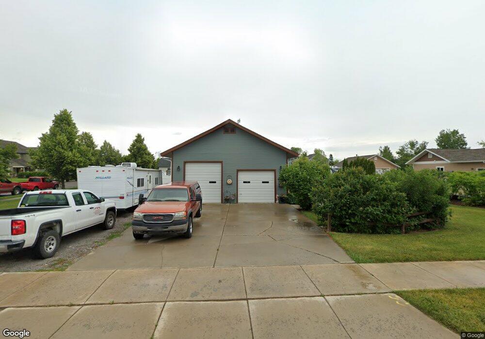
121 Denver Ave Kalispell, MT 59901
Estimated Value: $496,000 - $586,000
4
Beds
3
Baths
2,304
Sq Ft
$239/Sq Ft
Est. Value
About This Home
This home is located at 121 Denver Ave, Kalispell, MT 59901 and is currently estimated at $551,139, approximately $239 per square foot. 121 Denver Ave is a home located in Flathead County with nearby schools including Lillian Peterson School, Kalispell Middle School, and Flathead High School.
Ownership History
Date
Name
Owned For
Owner Type
Purchase Details
Closed on
Apr 9, 2009
Sold by
Knoll Tim and Knoll Kay
Bought by
Higgins Brian A and Higgins Sharon M
Current Estimated Value
Home Financials for this Owner
Home Financials are based on the most recent Mortgage that was taken out on this home.
Original Mortgage
$177,300
Outstanding Balance
$112,802
Interest Rate
5.06%
Mortgage Type
New Conventional
Estimated Equity
$438,337
Purchase Details
Closed on
Dec 29, 2006
Sold by
Buckallew David L
Bought by
Buckallew David L and Buckallew Shelly S
Create a Home Valuation Report for This Property
The Home Valuation Report is an in-depth analysis detailing your home's value as well as a comparison with similar homes in the area
Purchase History
| Date | Buyer | Sale Price | Title Company |
|---|---|---|---|
| Higgins Brian A | -- | Insured Titles | |
| Buckallew David L | -- | None Available |
Source: Public Records
Mortgage History
| Date | Status | Borrower | Loan Amount |
|---|---|---|---|
| Open | Higgins Brian A | $177,300 |
Source: Public Records
Tax History
| Year | Tax Paid | Tax Assessment Tax Assessment Total Assessment is a certain percentage of the fair market value that is determined by local assessors to be the total taxable value of land and additions on the property. | Land | Improvement |
|---|---|---|---|---|
| 2025 | $2,915 | $542,200 | $0 | $0 |
| 2024 | $3,134 | $402,400 | $0 | $0 |
| 2023 | $3,985 | $402,400 | $0 | $0 |
| 2022 | $4,071 | $311,400 | $0 | $0 |
| 2021 | $3,351 | $311,400 | $0 | $0 |
| 2020 | $3,692 | $260,000 | $0 | $0 |
| 2019 | $3,686 | $260,000 | $0 | $0 |
| 2018 | $3,574 | $240,200 | $0 | $0 |
| 2017 | $3,573 | $240,200 | $0 | $0 |
| 2016 | $3,001 | $220,100 | $0 | $0 |
| 2015 | $2,985 | $220,100 | $0 | $0 |
| 2014 | $2,792 | $122,377 | $0 | $0 |
Source: Public Records
Map
Nearby Homes
- 135 Rimrock Ct
- 31 Austin St
- 1906 Bluestone Dr
- 1483 & 1485 Western Dr
- 1996/1998 Greatview
- 2033 Teal Dr
- 2035 Teal Dr
- 1971 Bluestone Dr
- 1418 6th Ave W
- 1517 5th Ave W
- 1313 7th Ave W
- 1308 7th Ave W
- 8 Primrose Ct
- 2224 Pintail Ct
- 2208 Ruddy Duck Dr
- 605 Valley View Dr
- 2253 Canvasback Ct
- 2303 Kismet Ct
- 865 9th St W
- NHN 11th St W
- 125 Denver Ave
- 116 Rimrock Ct
- 116 Rim Rock Ct
- 144 Rimrock Ct
- 111 Rimrock Ct
- 115 Denver Ave
- 118 Denver Ave
- 148 Rimrock Ct
- 1809 Bluestone Dr
- 120 Denver Ave
- 1805 Bluestone Dr
- 120 Rimrock Ct
- 1815 Bluestone Dr
- 116 Denver Ave
- 200 Phoenix St
- 111 Denver Ave
- 1819 Bluestone Dr
- 303 Bismark St
- 303 Bismarck St
- 115 Rimrock Ct
Your Personal Tour Guide
Ask me questions while you tour the home.