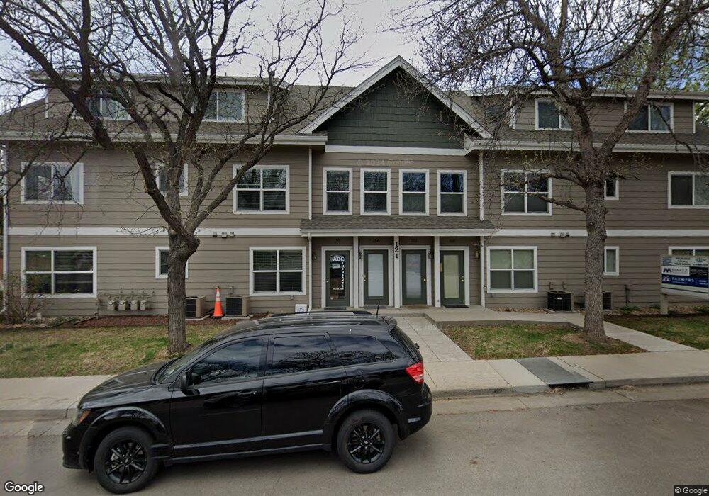
121 E Swallow Rd Unit 202 Fort Collins, CO 80525
Scotch Pines NeighborhoodEstimated Value: $280,000 - $336,289
2
Beds
2
Baths
1,279
Sq Ft
$244/Sq Ft
Est. Value
About This Home
This home is located at 121 E Swallow Rd Unit 202, Fort Collins, CO 80525 and is currently estimated at $312,322, approximately $244 per square foot. 121 E Swallow Rd Unit 202 is a home located in Larimer County with nearby schools including O'Dea Elementary School, Boltz Middle School, and Fort Collins High School.
Ownership History
Date
Name
Owned For
Owner Type
Purchase Details
Closed on
Jan 27, 2004
Sold by
Lagunitas Co
Bought by
Wilhelm Scott D and Dugan Joseph M
Current Estimated Value
Home Financials for this Owner
Home Financials are based on the most recent Mortgage that was taken out on this home.
Original Mortgage
$105,200
Outstanding Balance
$45,162
Interest Rate
4.62%
Mortgage Type
Commercial
Estimated Equity
$267,160
Create a Home Valuation Report for This Property
The Home Valuation Report is an in-depth analysis detailing your home's value as well as a comparison with similar homes in the area
Home Values in the Area
Average Home Value in this Area
Purchase History
| Date | Buyer | Sale Price | Title Company |
|---|---|---|---|
| Wilhelm Scott D | $131,500 | Land Title Guarantee Company |
Source: Public Records
Mortgage History
| Date | Status | Borrower | Loan Amount |
|---|---|---|---|
| Open | Wilhelm Scott D | $105,200 | |
| Closed | Wilhelm Scott D | $19,725 |
Source: Public Records
Tax History
| Year | Tax Paid | Tax Assessment Tax Assessment Total Assessment is a certain percentage of the fair market value that is determined by local assessors to be the total taxable value of land and additions on the property. | Land | Improvement |
|---|---|---|---|---|
| 2025 | $2,161 | $19,007 | $4,188 | $14,819 |
| 2024 | $2,056 | $26,204 | $4,489 | $21,715 |
| 2022 | $1,802 | $19,085 | $2,085 | $17,000 |
| 2021 | $1,821 | $19,634 | $2,145 | $17,489 |
| 2020 | $1,541 | $16,467 | $4,369 | $12,098 |
| 2019 | $1,547 | $16,467 | $4,369 | $12,098 |
| 2018 | $1,312 | $14,400 | $4,399 | $10,001 |
| 2017 | $1,308 | $14,400 | $4,399 | $10,001 |
| 2016 | $1,089 | $11,932 | $4,864 | $7,068 |
| 2015 | $1,081 | $11,930 | $4,860 | $7,070 |
| 2014 | $797 | $8,740 | $4,860 | $3,880 |
Source: Public Records
Map
Nearby Homes
- 2725 Harvard St Unit 5
- 2800 Tulane Dr
- 3006 Stanford Rd
- 3400 Stanford Rd Unit A129
- 3400 Stanford Rd Unit A120
- 301 E Thunderbird Dr
- 2800 Ringneck Dr
- 400 Bobolink Ct
- 512 E Monroe Dr Unit C-C331
- 3421 Meadowlark Ave
- 2701 Stover St Unit C10
- 412 Baylor St
- 375 E Horsetooth Rd
- 612 Homestead Ct
- 705 E Drake Rd Unit Q22
- 801 Parkview Dr
- 330 Leeward Ct
- 3008 Southmoor Ct
- 3737 Landings Dr Unit E-20
- 3248 Camelot Dr
- 121 E Swallow Rd Unit 204
- 121 E Swallow Rd Unit 203
- 121 E Swallow Rd Unit 201
- 121 E Swallow Rd
- 121 E Swallow Rd Unit 115
- 200 E Swallow Rd
- 201 Linda Ln
- 202 E Swallow Rd
- 3100 Remington St
- 205 Linda Ln
- 205 E Swallow Rd
- 2932 Remington St
- 208 E Swallow Rd
- 209 Linda Ln
- 204 Linda Ln
- 209 E Swallow Rd
- 2928 Remington St
- 212 E Swallow Rd
- 208 Linda Ln
- 213 Linda Ln
Your Personal Tour Guide
Ask me questions while you tour the home.