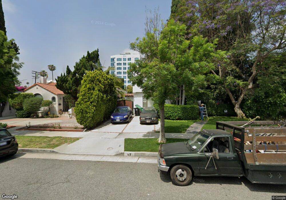
121 N Le Doux Rd Beverly Hills, CA 90211
Estimated Value: $2,026,758 - $2,955,000
3
Beds
1
Bath
1,602
Sq Ft
$1,544/Sq Ft
Est. Value
About This Home
This home is located at 121 N Le Doux Rd, Beverly Hills, CA 90211 and is currently estimated at $2,472,940, approximately $1,543 per square foot. 121 N Le Doux Rd is a home located in Los Angeles County with nearby schools including Horace Mann Elementary School, Beverly Hills High School, and Rabbi Jacob Pressman Academy.
Ownership History
Date
Name
Owned For
Owner Type
Purchase Details
Closed on
Feb 27, 2020
Sold by
Nassi Massoud and Nassi Helen Yadidi
Bought by
Nassi Massoud and Nassi Helen Yadidi
Current Estimated Value
Purchase Details
Closed on
Sep 4, 2012
Sold by
Nassi Massoud
Bought by
Nassi Helen Y
Purchase Details
Closed on
Aug 9, 2005
Sold by
Shimizu Rumiko Naito
Bought by
Nassi Massoud
Home Financials for this Owner
Home Financials are based on the most recent Mortgage that was taken out on this home.
Original Mortgage
$881,250
Interest Rate
5.66%
Mortgage Type
Negative Amortization
Create a Home Valuation Report for This Property
The Home Valuation Report is an in-depth analysis detailing your home's value as well as a comparison with similar homes in the area
Home Values in the Area
Average Home Value in this Area
Purchase History
| Date | Buyer | Sale Price | Title Company |
|---|---|---|---|
| Nassi Massoud | -- | None Available | |
| Nassi Helen Y | -- | None Available | |
| Nassi Massoud | $1,175,000 | First American Title Co |
Source: Public Records
Mortgage History
| Date | Status | Borrower | Loan Amount |
|---|---|---|---|
| Previous Owner | Nassi Massoud | $881,250 |
Source: Public Records
Tax History
| Year | Tax Paid | Tax Assessment Tax Assessment Total Assessment is a certain percentage of the fair market value that is determined by local assessors to be the total taxable value of land and additions on the property. | Land | Improvement |
|---|---|---|---|---|
| 2025 | $19,016 | $1,605,723 | $1,366,579 | $239,144 |
| 2024 | $19,016 | $1,574,239 | $1,339,784 | $234,455 |
| 2023 | $18,675 | $1,543,372 | $1,313,514 | $229,858 |
| 2022 | $18,141 | $1,513,110 | $1,287,759 | $225,351 |
| 2021 | $17,610 | $1,483,442 | $1,262,509 | $220,933 |
| 2019 | $17,101 | $1,439,444 | $1,225,063 | $214,381 |
| 2018 | $16,403 | $1,411,221 | $1,201,043 | $210,178 |
| 2016 | $15,743 | $1,356,423 | $1,154,406 | $202,017 |
| 2015 | $15,069 | $1,336,049 | $1,137,066 | $198,983 |
| 2014 | $14,405 | $1,295,000 | $1,101,000 | $194,000 |
Source: Public Records
Map
Nearby Homes
- 127 S Carson Rd
- 137 N Hamilton Dr
- 112 N Hamilton Dr Unit 305
- 125 N Gale Dr Unit 205
- 155 N Hamilton Dr Unit 102
- 8607 Clifton Way
- 221 S Gale Dr Unit 403
- 225 S Hamilton Dr Unit 107
- 225 S Hamilton Dr Unit 102
- 205 S Hamel Dr
- 8642 Gregory Way Unit 204
- 8642 Gregory Way Unit 202
- 483 S Sherbourne Dr
- 828 S Bedford St Unit 202
- 6620 W 6th St
- 143 N Arnaz Dr Unit 106
- 143 N Arnaz Dr Unit 204
- 143 N Arnaz Dr Unit 102
- 6667 W 5th St
- 235 S Tower Dr Unit 106
- 123 N Le Doux Rd
- 8549 Wilshire Blvd Unit ID1043015P
- 125 N Le Doux Rd
- 8537 Wilshire Blvd Unit ID1043017P
- 8537 Wilshire Blvd Unit ID1042859P
- 124 N Stanley Dr
- 127 N Le Doux Rd
- 126 N Stanley Dr
- 122 N Le Doux Rd
- 124 N Le Doux Rd
- 120 N Le Doux Rd
- 128 N Stanley Dr
- 129 N Le Doux Rd
- 126 N Le Doux Rd
- 130 N Stanley Dr
- 128 N Le Doux Rd
- 131 N Le Doux Rd
- 130 N Le Doux Rd
- 132 N Stanley Dr
- 8601 Wilshire
Your Personal Tour Guide
Ask me questions while you tour the home.