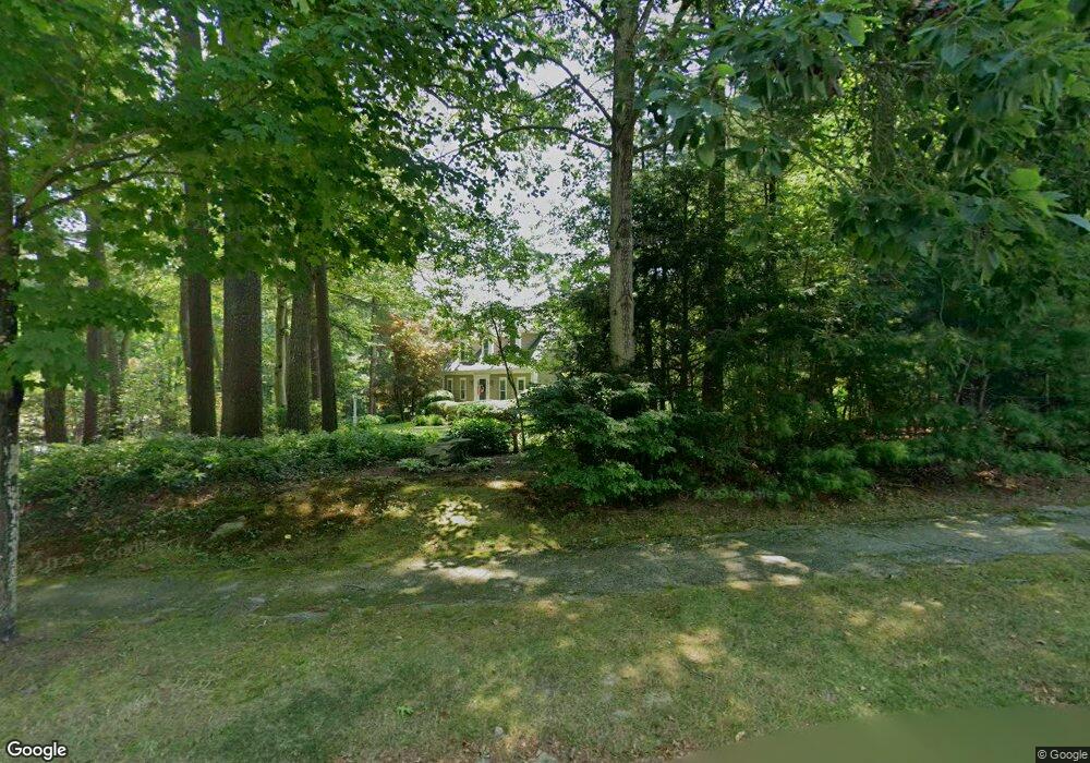
121 Prince Rogers Way Marshfield, MA 02050
Estimated Value: $947,354 - $1,225,000
3
Beds
3
Baths
2,182
Sq Ft
$487/Sq Ft
Est. Value
About This Home
This home is located at 121 Prince Rogers Way, Marshfield, MA 02050 and is currently estimated at $1,063,339, approximately $487 per square foot. 121 Prince Rogers Way is a home located in Plymouth County with nearby schools including Martinson Elementary School, Furnace Brook Middle School, and Marshfield High School.
Ownership History
Date
Name
Owned For
Owner Type
Purchase Details
Closed on
Dec 10, 2018
Sold by
Weaver Michael A and Weaver Jeanine H
Bought by
2018 Mj Weaver Ft
Current Estimated Value
Purchase Details
Closed on
Jan 13, 1988
Sold by
Putney Inc
Bought by
Weaver Michael A
Purchase Details
Closed on
Jan 4, 1988
Sold by
Putney Inc
Bought by
Weaver Michael A
Create a Home Valuation Report for This Property
The Home Valuation Report is an in-depth analysis detailing your home's value as well as a comparison with similar homes in the area
Home Values in the Area
Average Home Value in this Area
Purchase History
| Date | Buyer | Sale Price | Title Company |
|---|---|---|---|
| 2018 Mj Weaver Ft | -- | -- | |
| Weaver Michael A | $255,000 | -- | |
| Weaver Michael A | $255,000 | -- |
Source: Public Records
Mortgage History
| Date | Status | Borrower | Loan Amount |
|---|---|---|---|
| Previous Owner | Weaver Michael A | $37,000 | |
| Previous Owner | Weaver Michael A | $66,000 | |
| Previous Owner | Weaver Michael A | $30,000 |
Source: Public Records
Tax History Compared to Growth
Tax History
| Year | Tax Paid | Tax Assessment Tax Assessment Total Assessment is a certain percentage of the fair market value that is determined by local assessors to be the total taxable value of land and additions on the property. | Land | Improvement |
|---|---|---|---|---|
| 2025 | $8,324 | $840,800 | $320,300 | $520,500 |
| 2024 | $8,071 | $776,800 | $305,000 | $471,800 |
| 2023 | $7,761 | $691,900 | $283,200 | $408,700 |
| 2022 | $7,761 | $599,300 | $250,700 | $348,600 |
| 2021 | $7,404 | $561,300 | $250,700 | $310,600 |
| 2020 | $7,192 | $539,500 | $228,900 | $310,600 |
| 2019 | $6,944 | $519,000 | $228,900 | $290,100 |
| 2018 | $6,744 | $504,400 | $228,900 | $275,500 |
| 2017 | $6,583 | $479,800 | $228,900 | $250,900 |
| 2016 | $6,494 | $467,900 | $228,900 | $239,000 |
| 2015 | $6,218 | $467,900 | $228,900 | $239,000 |
| 2014 | $6,085 | $457,900 | $228,900 | $229,000 |
Source: Public Records
Map
Nearby Homes
- 1 Valley Path
- 10 Penstock Ln
- 1155 Main St
- 21 Chowdermarch St
- 451 School St Unit 5-2
- 451 School St Unit 3-4
- 21 Union St
- 848 Plain St Unit 23
- 5 Royal Dane Dr Unit 45
- 480 Pleasant St
- 2 Proprietors Dr Unit 25
- 2 Proprietors Dr Unit 23
- 2 Proprietors Dr Unit 26
- 2 Proprietors Dr Unit 27
- 2 Proprietors Dr Unit 24
- 341 Furnace St
- 10 Shrine Rd
- 167 Planting Field Rd
- 480 Ferry St
- 14 Red Pony Path
- 95 Prince Rogers Way
- 114 Prince Rogers Way
- 145 Prince Rogers Way
- 211 Old Barn Path
- 128 Prince Rogers Way
- 212 Old Barn Path
- 98 Prince Rogers Way
- 83 Prince Rogers Way
- 136 Prince Rogers Way
- 271 Pine St
- 271 Stonewood Ln
- 156 Prince Rogers Way
- 167 Prince Rogers Way
- 261 Pine St
- 20 Old Barn Path
- 191 Old Barn Path
- 80 Prince Rogers Way
- 191 Old Barn Pathe
- 111 Earldor Cir
- 192 Old Barn Path