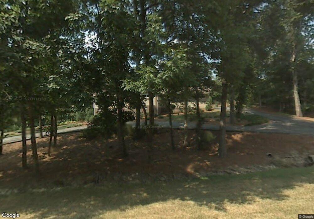
121 Saint Andrews Ct High Point, NC 27265
Estimated Value: $448,900 - $665,000
3
Beds
3
Baths
3,060
Sq Ft
$175/Sq Ft
Est. Value
About This Home
This home is located at 121 Saint Andrews Ct, High Point, NC 27265 and is currently estimated at $534,725, approximately $174 per square foot. 121 Saint Andrews Ct is a home located in Davidson County with nearby schools including Friendship Elementary School, Ledford Middle School, and Ledford High School.
Ownership History
Date
Name
Owned For
Owner Type
Purchase Details
Closed on
Jun 24, 2016
Sold by
Michael Edward Warren
Bought by
Hulin James and Hulin Ellen
Current Estimated Value
Home Financials for this Owner
Home Financials are based on the most recent Mortgage that was taken out on this home.
Original Mortgage
$225,600
Outstanding Balance
$179,494
Interest Rate
3.56%
Estimated Equity
$355,231
Purchase Details
Closed on
Apr 1, 1992
Purchase Details
Closed on
Jan 1, 1978
Create a Home Valuation Report for This Property
The Home Valuation Report is an in-depth analysis detailing your home's value as well as a comparison with similar homes in the area
Purchase History
| Date | Buyer | Sale Price | Title Company |
|---|---|---|---|
| Hulin James | -- | -- | |
| -- | $162,500 | -- | |
| -- | $75,000 | -- |
Source: Public Records
Mortgage History
| Date | Status | Borrower | Loan Amount |
|---|---|---|---|
| Open | Hulin James | $225,600 | |
| Closed | Hulin James | -- |
Source: Public Records
Tax History
| Year | Tax Paid | Tax Assessment Tax Assessment Total Assessment is a certain percentage of the fair market value that is determined by local assessors to be the total taxable value of land and additions on the property. | Land | Improvement |
|---|---|---|---|---|
| 2025 | $2,570 | $395,290 | $0 | $0 |
| 2024 | $2,492 | $395,290 | $0 | $0 |
| 2023 | $2,492 | $395,290 | $0 | $0 |
| 2022 | $2,492 | $395,290 | $0 | $0 |
| 2021 | $2,492 | $395,290 | $0 | $0 |
| 2020 | $1,960 | $310,910 | $0 | $0 |
| 2019 | $1,990 | $310,910 | $0 | $0 |
| 2018 | $1,990 | $310,910 | $0 | $0 |
| 2017 | $2,144 | $310,910 | $0 | $0 |
| 2016 | $2,187 | $310,910 | $0 | $0 |
| 2015 | $2,165 | $310,910 | $0 | $0 |
| 2014 | $2,068 | $324,770 | $0 | $0 |
Source: Public Records
Map
Nearby Homes
- 304 Cascade Dr
- 219 Prestwick Dr
- 201 Cascade Dr
- 2908 Maggie Ct
- 163 Emily Ct
- 2925 Fernley Ct
- 2908 Fernley Ct
- 2801 Swan Lake Dr
- 2809 Churchill Ct
- 2731 Croquet Cir
- 2729 Croquet Cir
- 4200 Lupton Ct
- 157 Calvin St
- 613 Dorado Cir
- 1706 Windsor Dr
- 246 Merry Hills Dr
- 0 Laura Ln
- 317 Canterbury Rd
- 1329 Bayswater Dr
- 1366 Bayswater Dr
- 0 Saint Andrews Ct
- 125 Saint Andrews Dr
- 123 Saint Andrews Dr
- 117 Saint Andrews Ct
- 312 Cascade Dr
- 326 Cascade Dr
- 109 Saint Andrews Dr
- 124 Saint Andrews Dr
- 333 Cascade Dr
- 120 Saint Andrews Dr
- 116 Saint Andrews Dr
- 400 Cascade Dr
- 320 Cascade Dr
- 114 Saint Andrews Dr
- 200 Saint Andrews Ct
- 323 Cascade Dr
- 110 Saint Andrews Dr
- 319 Cascade Dr
- 107 Saint Andrews Dr
- 107 Saint Andrews Dr
Your Personal Tour Guide
Ask me questions while you tour the home.
