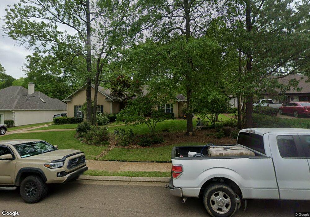
121 Spindlewood Dr Madison, MS 39110
Estimated Value: $341,581 - $388,000
3
Beds
2
Baths
2,589
Sq Ft
$141/Sq Ft
Est. Value
About This Home
This home is located at 121 Spindlewood Dr, Madison, MS 39110 and is currently estimated at $363,895, approximately $140 per square foot. 121 Spindlewood Dr is a home located in Madison County with nearby schools including Madison Avenue Upper Elementary School, Madison Avenue Elementary, and Madison Middle School.
Ownership History
Date
Name
Owned For
Owner Type
Purchase Details
Closed on
Dec 9, 2025
Sold by
Parker Karen Kay and Mclellan Janet Lynn
Bought by
Mclellan Brian Kermit and Gardner Alan J
Current Estimated Value
Home Financials for this Owner
Home Financials are based on the most recent Mortgage that was taken out on this home.
Original Mortgage
$247,252
Outstanding Balance
$247,252
Interest Rate
6.17%
Mortgage Type
FHA
Estimated Equity
$116,643
Purchase Details
Closed on
Oct 16, 2024
Sold by
Mobley Sandra Vaughn
Bought by
Mobley Janet Lynn
Create a Home Valuation Report for This Property
The Home Valuation Report is an in-depth analysis detailing your home's value as well as a comparison with similar homes in the area
Home Values in the Area
Average Home Value in this Area
Purchase History
| Date | Buyer | Sale Price | Title Company |
|---|---|---|---|
| Mclellan Brian Kermit | -- | None Listed On Document | |
| Mobley Janet Lynn | -- | None Listed On Document |
Source: Public Records
Mortgage History
| Date | Status | Borrower | Loan Amount |
|---|---|---|---|
| Open | Mclellan Brian Kermit | $247,252 |
Source: Public Records
Tax History
| Year | Tax Paid | Tax Assessment Tax Assessment Total Assessment is a certain percentage of the fair market value that is determined by local assessors to be the total taxable value of land and additions on the property. | Land | Improvement |
|---|---|---|---|---|
| 2025 | $1,849 | $24,285 | $0 | $0 |
| 2024 | $1,849 | $24,285 | $0 | $0 |
| 2023 | $1,849 | $24,285 | $0 | $0 |
| 2022 | $1,849 | $24,285 | $0 | $0 |
| 2021 | $1,849 | $23,367 | $0 | $0 |
| 2020 | $1,849 | $23,367 | $0 | $0 |
| 2019 | $1,849 | $23,367 | $0 | $0 |
| 2018 | $1,849 | $23,367 | $0 | $0 |
| 2017 | $1,806 | $23,001 | $0 | $0 |
| 2016 | $1,806 | $23,001 | $0 | $0 |
| 2015 | $1,806 | $23,001 | $0 | $0 |
| 2014 | $1,806 | $23,001 | $0 | $0 |
Source: Public Records
Map
Nearby Homes
- 101 Honey Locust Ct
- 124 Trace Cove Dr
- 0 Woodbridge Dr Unit 4124242
- 3121 W Tidewater Ln
- 204 Breezy Hill Dr
- 812 Norwich Dr
- 108 Frenchmans Cay
- 111 Hawks Nest Bluff
- 401 Kingsbridge Rd
- 180 Wright's Mill Dr
- 0 Chestnut Hill Unit 4126407
- 171 Cavanaugh Dr
- 22 Chestnut Dr
- 147 Overlook Pointe Dr
- 157 Dyke Rd Unit 26
- 550 Post Rd Unit 708
- 550 Post Rd Unit 803
- 550 Post Rd Unit 205
- 550 Post Rd Unit 121
- 550 Post Rd Unit 607
- 117 Spindlewood Dr
- 125 Spindlewood Dr
- 120 Silvertree Crossing
- 120 Silvertree Crossing
- 116 Silvertree Crossing
- 116 Silvertree Crossing
- 124 Silvertree Crossing
- 124 Spindlewood Dr
- 113 Spindlewood Dr
- 120 Spindlewood Dr
- 112 Silvertree Crossing
- 112 Silvertree Crossing
- 112 Spindlewood Dr
- 126 Highwoods Blvd
- 0 Silvertree Crossing Unit LOT 15
- 122 Highwoods Blvd
- 108 Silvertree Crossing
- 109 Spindlewood Dr
- 128 Spindlewood Dr
- 137 Highwoods Blvd
Your Personal Tour Guide
Ask me questions while you tour the home.